Maribor Map: Where the Old Town, Squares and Sights Sit
A visitor's map of Maribor: Lent, Main Square and the old town on the Drava's left bank, City Park and Piramida close by, and buses or bike share for the rest.
On this page
Maribor's center is compact enough to cross on foot: the old town sits on the left bank of the Drava River, Main Square (Glavni trg) anchors the middle, and Lent runs along the water a short walk away. Allow one day for the city center and two days or a weekend if you want wine cellars and a trip up to the Pohorje hills, which is the pacing the city's tourist board suggests.
This guide lays the city out as a mental map rather than a list: which squares and streets group together, which sights you can string into a single loop, and where the river and the hills sit relative to your hotel. It also covers where Maribor sits in Slovenia and how the shape of the map changes a one-day plan.
What the Maribor map shows at a glance
Picture three layers. The Drava River runs across the city, the historic core with its squares and castle sits on the left bank, and the forested Pohorje massif rises to the west and northwest. Maribor is the economic, administrative, educational and cultural center of eastern Slovenia, so the map fans out into surrounding wine country rather than ending at a single ring road.
For practical orientation, note that the Pohorje ski area is a destination of its own, with its base villages listed at 6 km from the Maribor town center and 9 km from Ruše. Treat it as a half-day extension on the map, not a neighborhood of the old town.
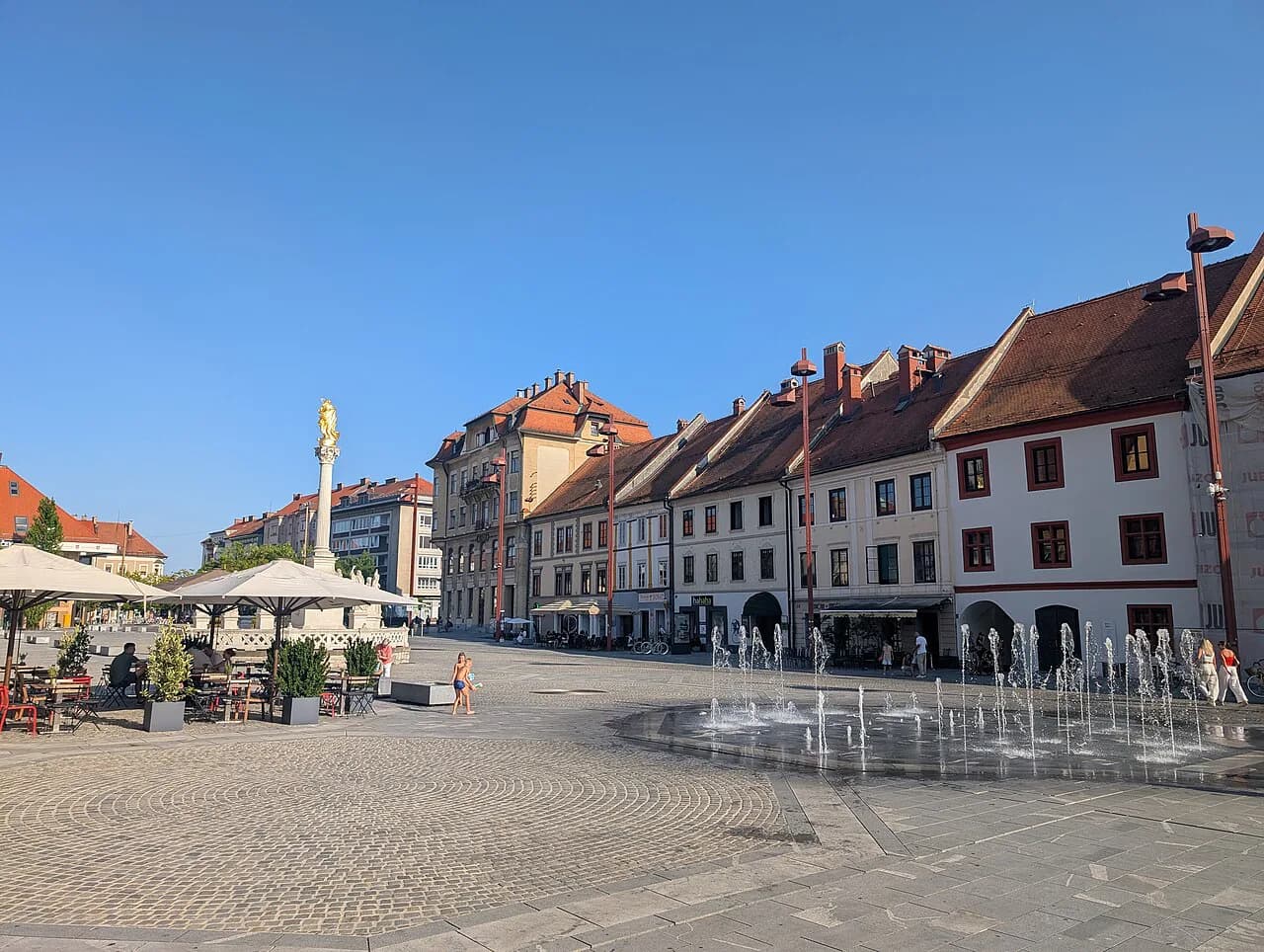
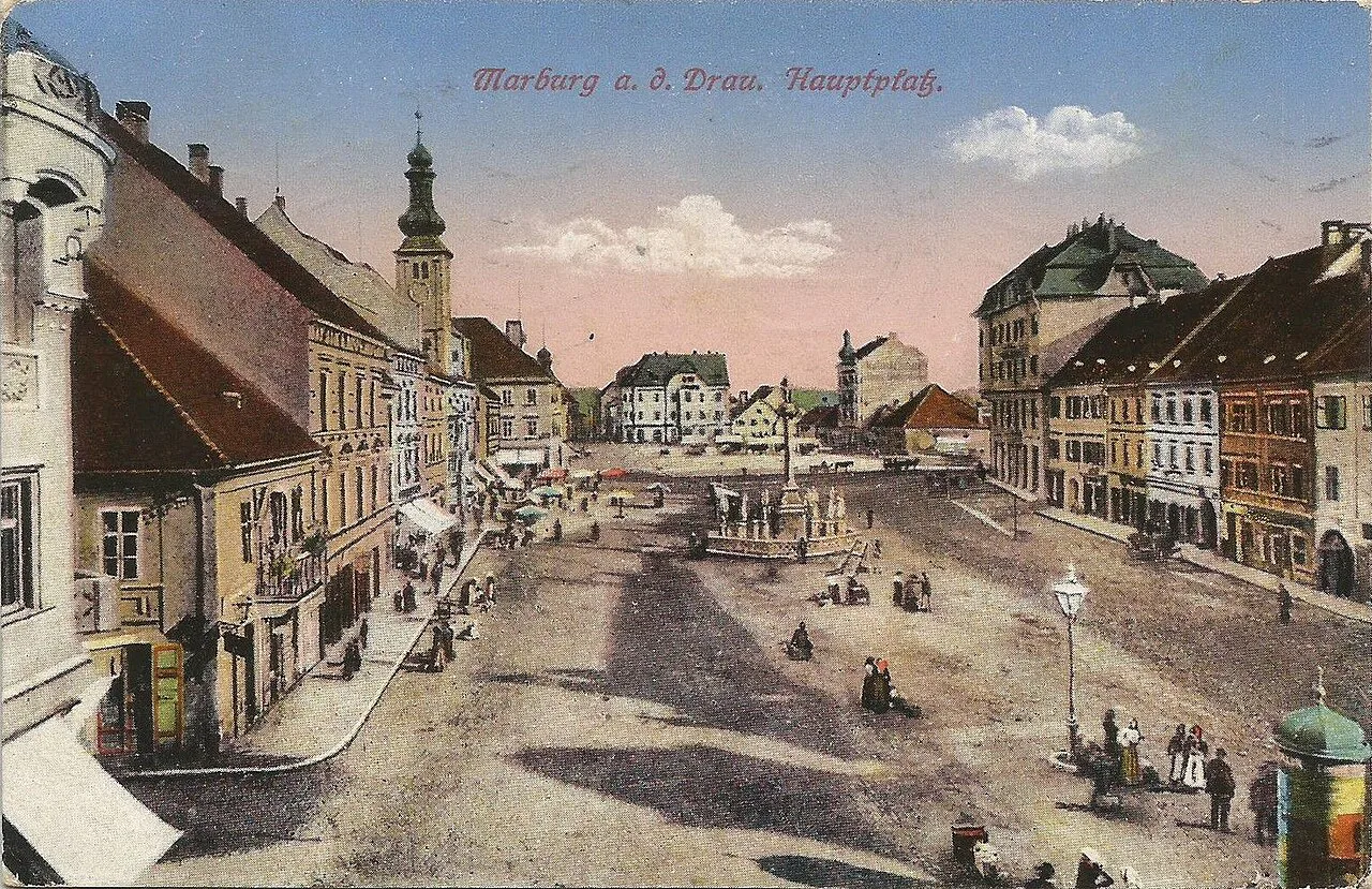
Main Square (Glavni trg) and the Town Hall
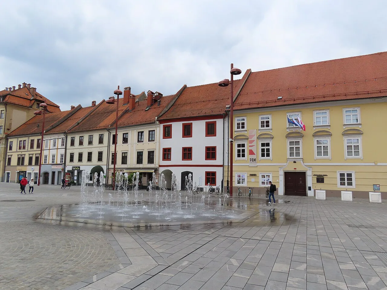
Most walks start at Main Square (Glavni trg), the open square at the heart of the old town from which the surrounding streets radiate. From here you can reach the riverside Lent district and the castle on foot, which makes the square the natural place to fix yourself before wandering. Our Things to Do in Maribor guide covers the individual sights.
Think of Glavni trg as the hub of a small wheel: every other sight on your list is either a spoke from it or a separate cluster on the green edge of town. The Maribor Old Town guide walks the lanes around the square in detail. If you only have a few hours, stay on the wheel and skip the outer clusters rather than rushing between them.
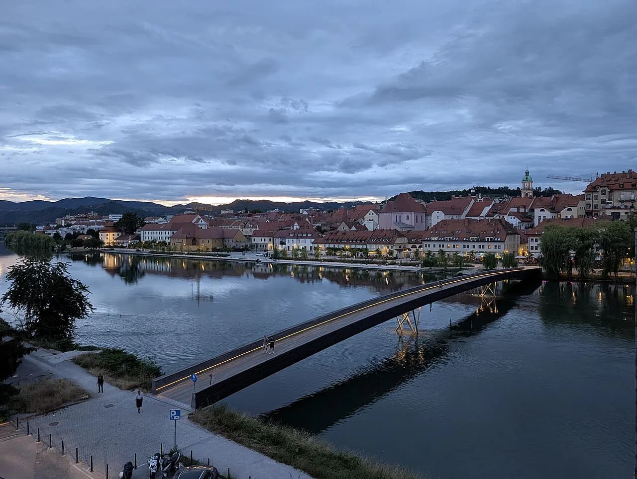
Lent and the Drava riverbank
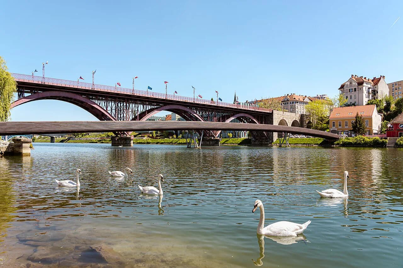
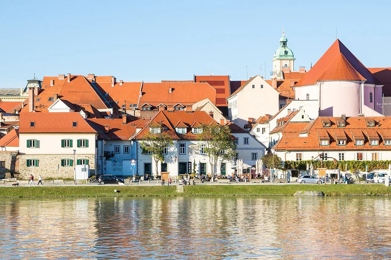
Lent is the historic district along the Drava, and it holds the World's Oldest Grapevine, which has grown there for more than 450 years. From Main Square it is a short walk downhill to the riverbank, so pair the two in one pass rather than treating Lent as a separate outing.
On the map, Lent is the strip that follows the water; everything on the landward side climbs gently back toward the squares. Read the district as a riverside line rather than a block, and plan to walk it end to end before turning inland.
Maribor Castle and the old-town lanes
Maribor Castle is one of the city's headline sights and sits within the old-town fabric, close enough to the squares to fold into the same loop. Approach it through the lanes rather than by a direct March, because the streets around it are part of the experience of the core.
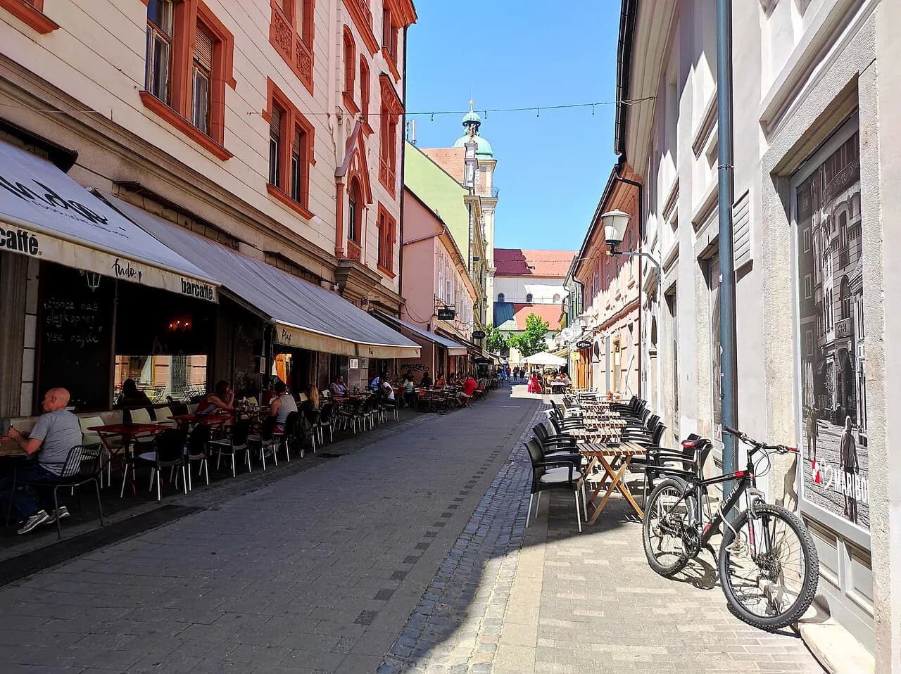
A simple route works well: start at the main square, drift through the lanes to the castle, then drop to the river at Lent and follow the bank. That order keeps you walking downhill toward the water instead of backtracking uphill at the end of the day. Maribor Old Town covers the lanes in more detail.
City Park (Mestni park) and Pyramid Hill (Piramida)
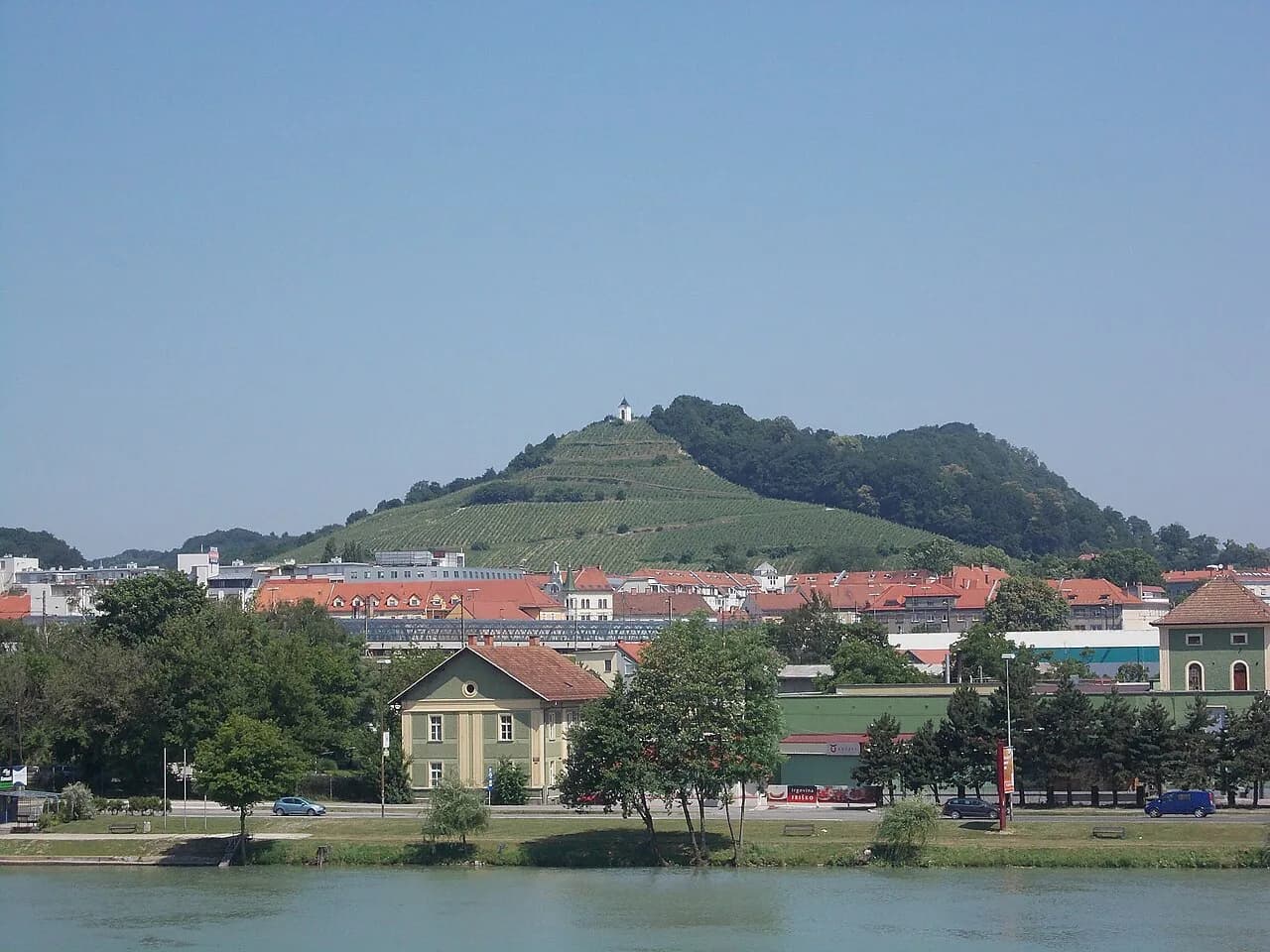
City Park (Mestni park) and Pyramid Hill (Piramida) form the green cluster beyond the center, worth an hour or two of your map. City Park has playgrounds, and Pyramid Hill is the city's main viewpoint over the rooftops, so the two pair naturally on a warm afternoon.
The tourist board lists the Aquarium-Terrarium and the Maribor Puppet Museum among the city's family draws. If you are traveling with children, plan for these alongside the park rather than squeezing them into the same morning as the old town.
Getting around without a car
Most center attractions are within walking distance, and for longer hops you can use city buses or the Mbajk bike-sharing system. City bus G6 runs to the foot of the Maribor Pohorje mountains, where a cable car carries you up to Pohorje, so the western edge of the map is reachable without driving.
For visitor information once you arrive, TIC Maribor sits at Partizanska cesta 6a, a useful pin to drop on your map near the start of a walking day. Save it as a fallback point if you need directions or local event information mid-route.
Where Maribor sits in Slovenia
Maribor lies by the Drava River in the embrace of the green Pohorje forests and the surrounding wine-making hills, which is why the map reads as city, river and slope in one frame. That geography is also what makes the city a natural base for eastern Slovenia rather than a stop squeezed between two larger destinations.
Zoom out and you are in the country's east, with the old town as the dense center of a much looser surrounding region. Maribor Old Town helps you picture how the lanes and squares connect before you walk them. If you are plotting a route on a phone, a general map search for Maribor will show you the river crossing and the ring of hills before you even open a walking route.
How the map changes your day
With one day, draw a single loop: Main Square to the castle lanes, down to Lent and the grapevine, then back through the center, saving City Park and Piramida for late afternoon light. Things to Do in Maribor fills in the sights along that loop. That keeps you inside the walkable core and avoids burning time on transport for marginal sights.
With two days, add the outer layer: a morning or afternoon on Pohorje using bus G6 and the cable car, and time for the city's wine cellars and food, which the tourist board treats as a core part of the visit. The map then splits cleanly into a city day and a hills-and-cellars day, with no backtracking between them.
Which day shape fits your Maribor map
Decide first whether you are drawing a one-day loop or a two-day spread, because the answer changes what you pin to the map. A single center loop covers Main Square, the castle lanes and Lent comfortably on foot, while a second day is what lets you add Pohorje and the city's wine cellars and food without rushing.
Before you travel, confirm current details such as cable car operation, bus routes and any ticketed sights directly with the city's tourist information, since these change with the season.
Explore more Maribor guides
Sources
Notes for your Slovenia trip
Optional updates to our Slovenia place guides.
You might also like
Continue reading
More guides you'll find useful