Koper Map: Old Town Layout, Landmarks and Where Things Are
A Koper map in words: how the old town meets the marina and bus station, which squares and streets to look for, and how the sights connect on foot.
On this page
A Koper map is easy to hold in your head: the old town sits as a tight knot of lanes and squares just back from the harbor, with Pristaniška ulica running along the waterfront and the bus station on Kolodvorska cesta a short way to the south. Once you know that frame, the churches, palaces and museums fall into place between them. This page lays out which streets and squares to look for on a map, where arrivals by bus and drivers on the edge of the core enter the picture, and how to get hold of a printable or offline copy before you arrive.
The goal is a walking plan rather than a list of sights. Anyone sketching things to do in Koper can treat each square as a step, moving from the waterfront inland through Prešernov trg and Trg Brolo toward the northern lanes.
What a Koper map shows at a glance
Seen whole, the map separates into three bands: the water and marina along the western edge, the dense old-town core immediately inland, and the wider town and road approaches to the south and east. Pristaniška ulica traces the waterfront, while Kolodvorska cesta carries the bus station south of the center. Read the map in that order and you always know which side of the core you are standing on.
A printed or offline map of Koper is just as useful as the on-screen version, and you can generate one that covers the old town at the detail level you want before you travel. If a street name looks unfamiliar on the ground, match it against the map's named squares rather than trying to count turnings.
The waterfront edge: Pristaniška ulica and the market
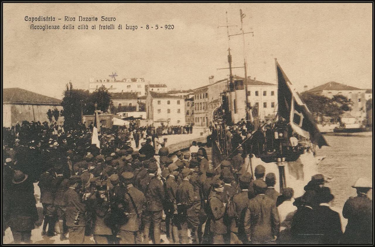
Start at the water. Pristaniška ulica runs along the harbor side of the old town, with the fishing port and marina close by, and it gives you a fixed line to navigate back to whenever the lanes confuse you.
Two market landmarks anchor this edge: the fish market and Tržnica, the town market, both listed among the central Koper points on a city map. Use them as your waterfront reference and the promenade's bend toward the marina becomes obvious.
The main squares: Prešernov trg, Trg Brolo and Ukmarjev trg
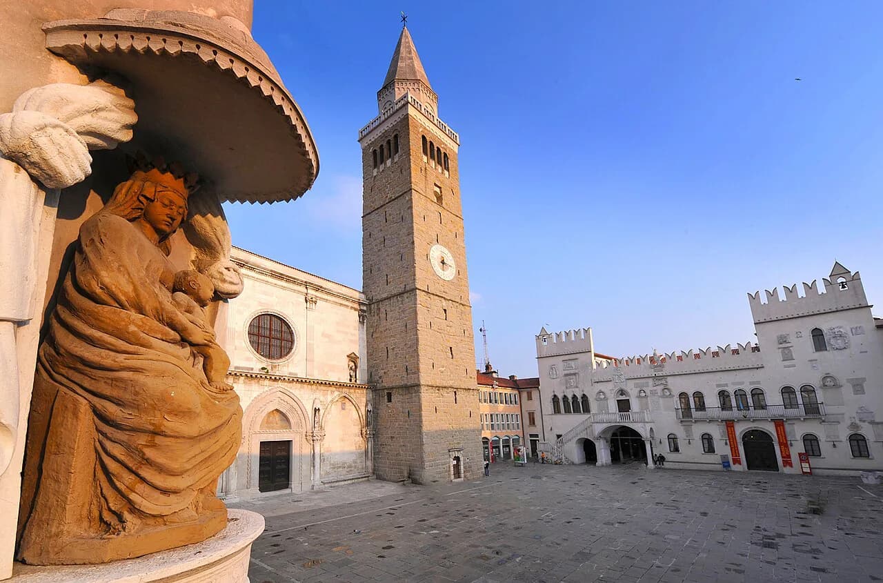
Inland from the waterfront, three squares do most of the orientation work. Prešernov trg sits closest to the harbor side and is easy to spot for the bookstore at Prešernov trg 9; Trg Brolo lies further north and holds the Osrednja knjižnica Srečka Vilharja Koper library; Ukmarjev trg sits among the lanes toward the eastern side of the core.
Connect them on foot rather than by car. The lanes between the squares are short and pedestrian, so a loop from Prešernov trg up to Trg Brolo and across to Ukmarjev trg keeps you inside the core. When you want a structured version of that loop, a walking tour of Koper follows the same squares in sequence.
For the historic core in more detail, the Koper Old Town guide covers the squares and lanes that the map only sketches.
Kidričeva ulica, the palaces and the Regional Museum
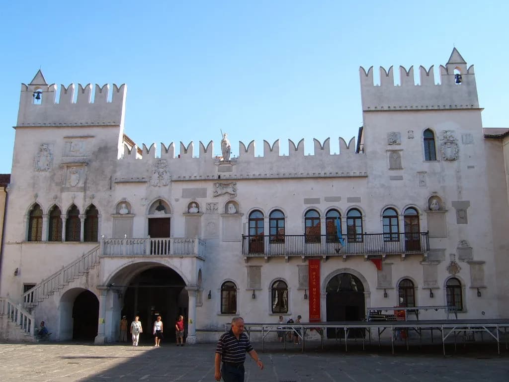
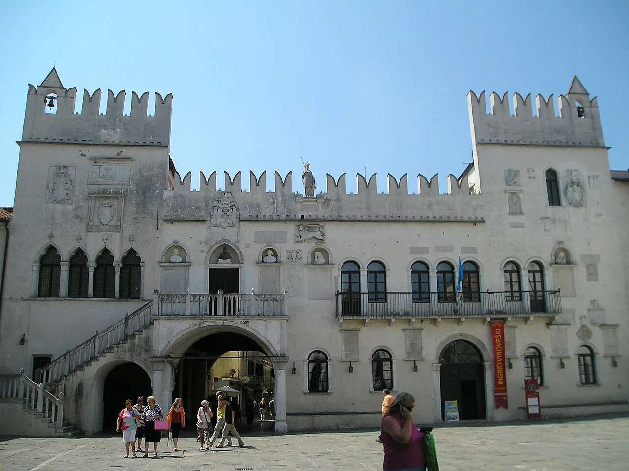
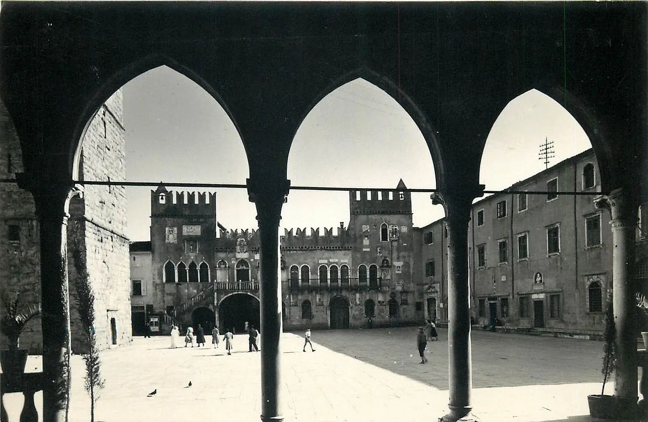
Kidričeva ulica is the address to look for on the map if you want the Praetorian Palace, Armeria and Foresteria, which the Koper map PDF groups into the town's historic core. The Pokrajinski muzej Koper, the Regional Museum of Koper, is listed at Kidričeva 19, so the street sits at the center of a cluster of buildings you can reach on one short walk.
The museum also holds an ethnological collection listed at a nearby address, so plan the palaces and the museum as a single stop rather than separate outings. Check current opening times and admission with each venue before you build the day around a visit.
Čevljarska ulica and the lanes toward the northern edge
Čevljarska ulica is the walking street to look for on the map: it threads through the old town and links the central squares to the quieter streets on the northern side of the core. Restavracija Labirint at Čevljarska ulica 9 and Bar Cameral at Čevljarska ulica 14 both appear on the city map, which makes the street easy to confirm on the ground.
Walk it slowly rather than treating it as a corridor. The street sits between the museum-and-palace cluster on Kidričeva ulica and the squares on the other side, so it works best as the link in a loop that returns you to the waterfront.
Koper old town lanes reward a little wandering on purpose; the story behind the buildings along these streets is covered outside this map page.
Bus station, parking and arriving into the map
The bus station, Avtobusna postaja Koper, is listed at Kolodvorska cesta 11, south of the old-town core. From there you walk north toward the lanes and squares, using the waterfront as your edge. Confirm bus times and frequencies with the operator before you travel.
Drivers should read the edge of the core, not the middle. Parking Prisoje and Parking Marina Koper both appear on a Koper city map as named parking areas, so note which one you want before you arrive rather than circling the lanes.
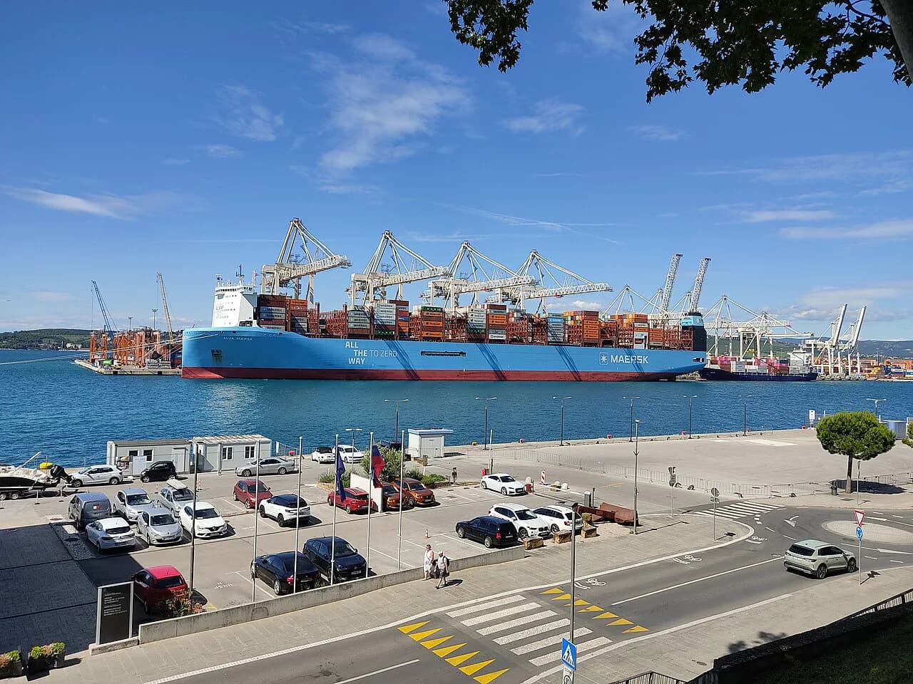
Cruise arrivals enter from the Koper port side, a short way from the old town's waterfront edge. A map that distinguishes the port from the marina makes it easier to match where the ship docks to the street you want first.
Churches, the library and Hlavatyjev Park on the map
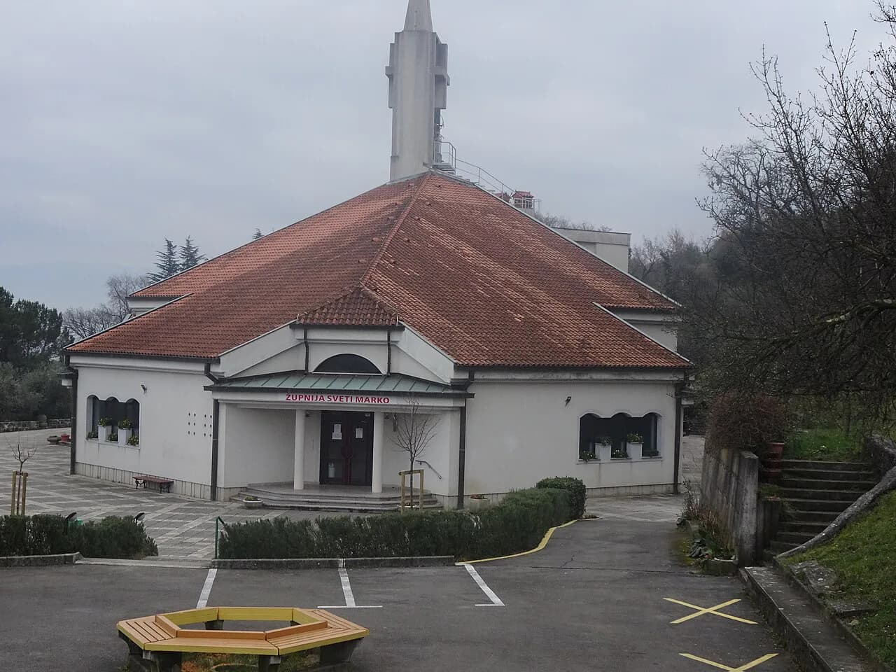
Two churches give you fixed points inland. Cerkev Marijinega vnebovzetja and Župnijska cerkev Sv. Marka are both listed on the city map, and either can serve as a compass point when you are deep in the lanes.
Hlavatyjev Park, listed on Semedelska cesta, sits toward the southwestern edge of the core near the water, which makes it a useful marker rather than a detour. Churches in Koper are best treated as landmarks on this map first and as visit stops second, since hours vary.
For Koper history, the map's named buildings are the shortlist to look for on the ground. A separate guide covers what those buildings are and why they sit where they do.
Carrying the map: print it or save it offline
The simplest paper option is a free printable map of Koper drawn from a base map, so you can choose the scale and area to cover before you leave. Print a landscape version for the whole core, or save it as a PDF on your phone as a backup.
An offline city map is the better choice if you plan to move between the old town, the marina and the bus station on foot without relying on a signal. Downloading the Koper map to a maps app before you travel keeps the street names and squares available in the moment.
What the map answers before you go
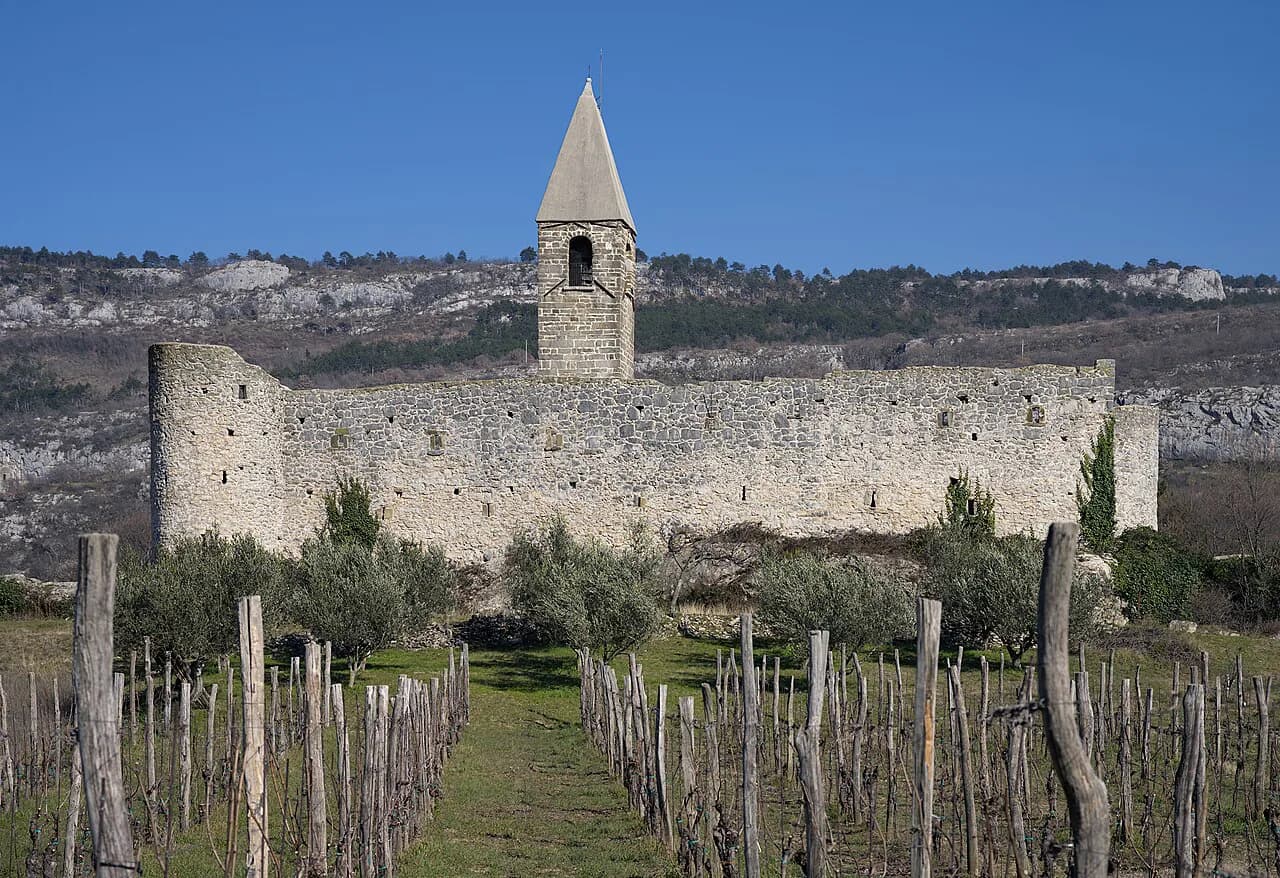
A Koper map settles the practical questions first: the old town is compact and walkable, the waterfront gives you your edge, the squares and Čevljarska ulica chain together, and the bus station and parking sit outside the core to the south and along the marina. Beyond the old town, landmarks such as Hrastovlje Church of the Holy Trinity are outside the core and need a different map or a separate trip plan.
Socerb castle and Grad Socerb sit outside town as well, so leave them for a separate day. The Koper Attractions hub links guides to each named sight when you are ready to go beyond the map.
Use the map as the skeleton and let the named details hang on it, then check current hours and prices with each venue. If you want to eat near the squares after walking, the Koper restaurants guide covers that separately.
For the wider shoreline walk along the harbor edge, the Koper promenade guide connects the waterfront on the map to a longer route.
Which Map Should You Carry?
For most visitors the answer is two: a printed paper map of the old town for the first walk, and an offline copy on your phone for the waterfront, the bus station and parking. Print the core at a landscape scale so the squares and Čevljarska ulica fit on one page.
If you are arriving by bus, sketch the walk from Avtobusna postaja Koper on Kolodvorska cesta north into the core before you set off. Drivers should mark Parking Prisoje or Parking Marina Koper on the map before leaving the road.
Explore more Koper guides
Frequently Asked Questions
Can you walk into Koper's old town from a cruise ship?
Cruise arrivals come in on the Koper port side, and the old town's waterfront edge on Pristaniška ulica is the nearest part of the map. A city map that shows both the port and the marina makes the route into the lanes obvious; check the ship's berth and shuttle arrangements with the operator.
Can you walk from Koper's bus station to the old town?
Avtobusna postaja Koper is listed at Kolodvorska cesta 11, south of the old-town core, so you approach the lanes and squares on foot from the south. Mark the station on the map before you arrive and confirm bus times with the operator.
Sources
Notes for your Slovenia trip
Optional updates to our Slovenia place guides.
You might also like
Continue reading
More guides you'll find useful