
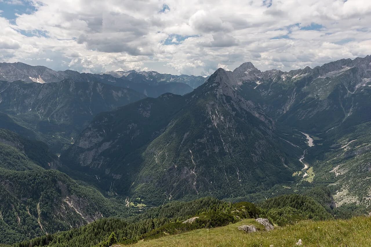
Bavšica: The Quiet Valley Above the Koritnica Near Bovec

Bavšica is a dispersed settlement in the Municipality of Bovec, not a compact village with a square and a shop. Visitors come for the valley itself: the Koritnica and Šunik creek below, the road running up past Fort Kluže, and a trailhead that feeds long marked routes into the surrounding peaks. This guide covers what the valley is, the drive and walk in, parking, and who it suits.
The simplest introduction is a walk: an undemanding loop of about five kilometers and 230 meters of ascent that starts at Fort Kluže and follows the Šunik creek into the mouth of the valley. Allow roughly one hour and 40 minutes, and treat it as the low-commitment option before deciding whether to drive higher.
What and Where Bavšica Is
The settlement of Bavšica sits in the Municipality of Bovec in the Littoral region, and it is dispersed rather than clustered, so you pass houses and farm buildings spread across the slopes rather than a single center. The valley opens above the Koritnica, and the road into it leaves the Bovec–Tarvisio road a few kilometers from Bovec at the Kluže fortress.
Two names recur as you plan. The Šunik is the creek whose riverbed forms the scenic middle section of the lower walk, and the Koritnica is the larger river it joins near the fortress. If you are working out how Bavšica fits with the villages around it, the Bovec overview maps the neighboring areas, this one included.
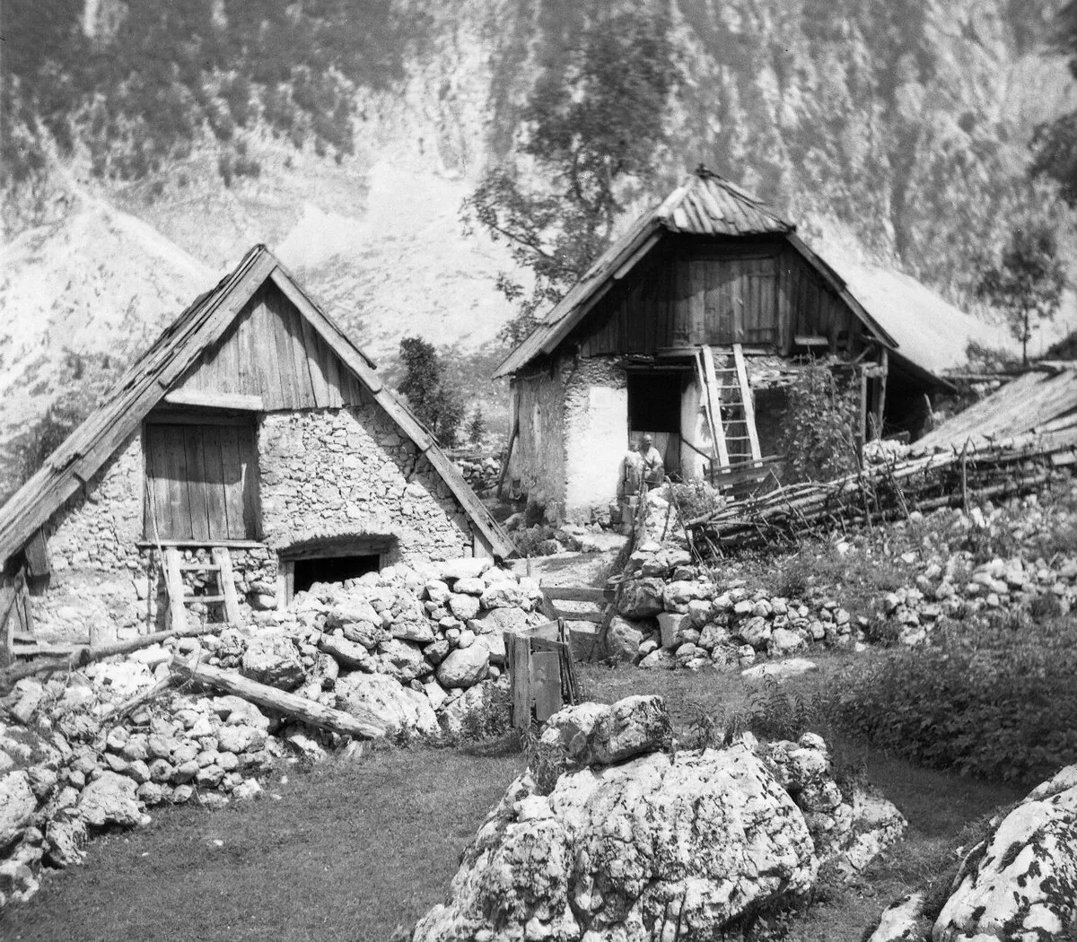

How to Get to the Valley: The Road Past Fort Kluže
By car, take the road from Bovec toward Tarvisio. After about 3.5 kilometers you reach the Kluže fortress, with a parking place on the right side of the road about 200 meters before the fortress; that lot is where the Šunik walk begins. Kayakers also use it, so if it is full, park nearer the fortress and walk back to the first lot to pick up the path.
From Kluže the road continues up into the Bavšica valley itself, climbing roughly 220 meters over about 7.9 kilometers to the settlement. That makes the valley reachable on wheels, but the road is the same one walkers use on the return leg, so drive slowly and expect company at the bends.
If you want a second village on the same outing, the road to Log pod Mangartom branches off this corridor and puts you among the same high walls and side valleys. It is the natural pairing for a day that starts at Kluže and heads toward the Mangartsko sedlo side of the range.
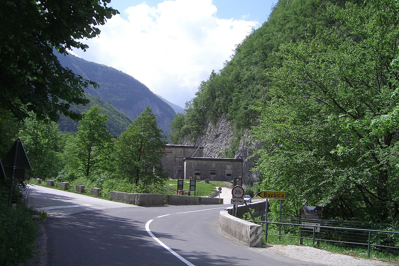

Parking at Kluže and at the Bavšica Trailhead
There are two practical places to leave the car on the lower approach: the lot 200 meters before Fort Kluže, which is the signed start of the Šunik walk, and the parking nearer the fortress. The first one is small enough that kayak traffic can fill it, which is the main reason to keep the fortress lot as a fallback.
Drivers heading straight for the peaks should aim for the Bavšica trailhead rather than the fortress. It is listed at 698 meters at 46.3699°N, 13.6299°E, so you can check the coordinates against your map before committing to the climb, and it sits within a short radius of Lepena, Log pod Mangartom and Trdnjava Kluže.
The Walk from Fort Kluže Along the Šunik Creek
Start at the first parking lot and take the path with wooden stairs down toward the Koritnica. About 30 meters before the river, a crossing path carries a wooden signpost; turn right onto the route marked B4 and follow it through the woods for roughly 670 meters with the Koritnica bed below on your left. You then meet a small road and a bridge over the river to a farm, which you cross before continuing straight onto the wide footpath marked B5.
Where the wide path swings uphill to the right, stay straight onto the narrower trail marked B5b. Before the path drops to the Šunik riverbed you pass a meadow with an old house that was hit by a huge boulder, and beyond it an idyllic house with a footbridge; both make useful landmarks for judging your progress.
Past the footbridge the trail pulls away from the water and gains about 100 meters to reach the road into the Bavšica valley. The final 20 meters before the road can be overgrown and hard to pick out among fallen trees, so without a GPS track it is reasonable to turn back at the house with the footbridge, or to cross it and follow the unpaved road past the house on the right back to the main road.
Turn left on the valley road for the return to Fort Kluže. About 150 meters along it, listen for running water on your left: that is where the source of the Šunik emerges between large boulders, a short detour before you reach the fortress again.
Bavšica as a Trailhead for the Surrounding Peaks
Treat Bavšica as a starting point, not a stroll. From the trailhead at 698 meters, routes run to Logje in 25 minutes, Planina Bala in 1 hour 30 minutes and Lovska koča Bala in 1 hour 50 minutes, all rated as easy marked paths. Those are the realistic short objectives if you have driven up and want to stretch your legs rather than commit a day.
The valley also sits beneath seriously demanding ground. Bavški Grintavec via Vrh Brda is listed at 5 hours 50 minutes on a very demanding marked path, Jalovec at 7 hours 35 minutes, and Mali Grintavec at 4 hours 55 minutes; these are full-day outings with real exposure, not additions to the Šunik walk. Planina Bukovec, at 2 hours on an easy marked path, is the middle option in the same network.
Svinjak, one of the peaks above the Koritnica corridor, appears among the summits in the surrounding radius, which helps you place yourself on the map when you look back down the valley. If you would rather sample the area's easier draws first, the wider list of things to do in Bovec sets the valley against the river and fortress stops nearby.
Cycling and Other Ways to See the Valley
The road to Bavšica works for bikes as well as cars. It is listed as suitable for mountain and road bikes, 7.9 kilometers long with 220 meters of altitude difference, which means a steady climb up and a quick run back down to the Koritnica.
On foot, the Šunik walk already builds Fort Kluže into the outing, since it starts and finishes at the fortress parking. A short detour at the start takes you down to the Koritnica riverbed below the fortress, so you can combine river, fortress and creek in one loop. Either way the road is shared, and the overgrown stretch near the top of the Šunik path means cyclists and walkers should not assume a clean connection between creek trail and upper road.
Who the Valley Suits and Who It Does Not
Bavšica suits travelers who want a short, undemanding walk with a creek, a boulder-hit house and a roadside water source as the rewards, and who are content with a valley rather than a village with cafés and a square. It also suits fit hikers using the trailhead for Planina Bala, Planina Bukovec or the demanding routes above, and cyclists who enjoy a 7.9-kilometer climb away from the main Soča traffic.
It does not suit anyone expecting a serviced village center, a network of short loops, or a walk that stays clear of route-finding. The lower path needs attention at the junction near the Koritnica, and the last stretch to the road is indistinct, so a family with young children or a traveler without a navigation app should set the footbridge as the turnaround point.
For a gentler Bovec day, Plužna, Bovec sits in the same cluster and pairs the Virje waterfall with village lanes rather than a climb. Soča village is another low-key alternative when you want the river without the trailhead ascent.
Where to Eat and Stay in Bavšica
Bavšica is a dispersed settlement of farm buildings, and travelers should not count on a restaurant, guesthouse or café in the valley to plan around. The practical approach is to base yourself in Bovec, where services are concentrated, and treat the valley as a half-day outing; you can compare the surrounding districts in the Bovec Neighborhoods: 5 Area Guides before choosing a base.
The youth education center in Bavšica, listed at 725 meters among the points in the area, is an education facility rather than visitor accommodation, so do not count on it for a bed. Confirm any lodging directly with the provider before building a night around it.
Walk In from Kluže or Drive to the Trailhead?
Walk in from Fort Kluže if you want the creek, the boulder-hit house and the Šunik source in about one hour and 40 minutes, and accept that the last stretch to the road may be overgrown. Drive up if your goal is a marked route from the 698-meter trailhead toward Planina Bala or beyond, since the 7.9-kilometer road climb saves your legs for the peaks.
Either way, park at the lot before the fortress or closer to it, keep the coordinates handy, and check the weather and route conditions before setting out. The wider Bovec Attractions: 5 Visitor Guides covers the fortress and river stops that fit around the same day.
Frequently Asked Questions
Is Bavšica a village or a valley?
Both names apply. Bavšica is a dispersed settlement in the Municipality of Bovec, and the Bavšica valley is the ground around it, opening above the Koritnica and reached by the road past Fort Kluže. Visitors usually mean the valley walk and the trailhead rather than a village center.
How long does the Šunik creek walk take?
About one hour and 40 minutes for roughly five kilometers with 230 meters of ascent, starting and finishing at Fort Kluže. The final stretch before the valley road can be overgrown, so allow extra time for route-finding or turn back at the house with the footbridge.