
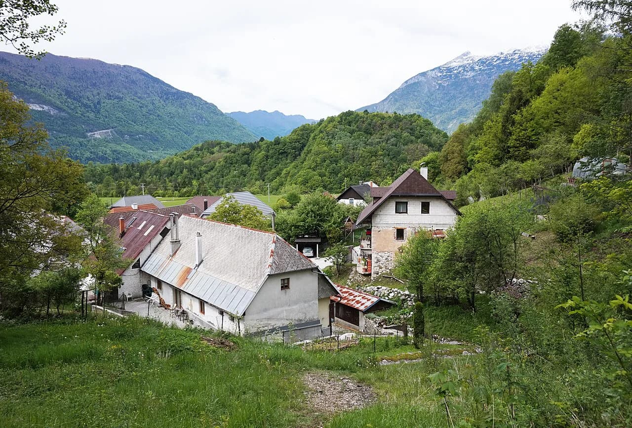
Koritnica: the River, the Kluže Gorge and the Troughs Near Bovec

Koritnica is a river, not a village, and the reason to stop is the short, sharp gorge it has cut just below Kluže fortress on the Bovec–Predel road. The payoff is a roadside view rather than a hike: from the bridge by the fortress, about 4 km from Bovec, you look down into troughs a few meters wide, some 70 m deep and roughly 200 m long. This guide covers where the river runs, how to reach the troughs, where paddlers and anglers are allowed, and which nearby places fit the same half-day; the Bovec Neighborhoods: 5 Area Guides put the surrounding villages in context.
What and where Koritnica is
The Koritnica rises from several torrent branches under Mangart, Kotovo sedlo and Jalovec at around 1,200 m and runs down to join the Soča near Vodenci at Bovec. It is the water you cross on the way up toward Predel, and its lower course runs through the Bovec basin rather than through the town center.
For trip planning, treat the river as two separate stops that travelers often blur together. The troughs at Kluže are a viewing feature beside the road, while the river downstream is the part used for paddling and fishing. Understanding that split saves you from arriving at the fortress expecting a riverside trail into the gorge.
The river's one-kilometer gorge narrows at Kluže into the troughs, which are protected as a natural value. From the bridge at the fortress the narrowest section is clearly visible, and a hanging bridge over the Koritnica at the Kluže entry point gives another look at the trough closure.
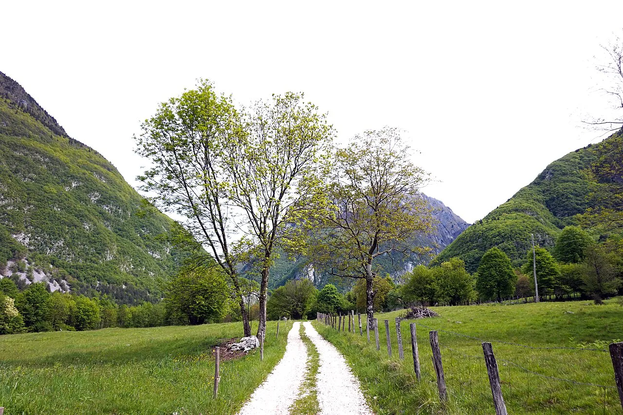

The gorge and troughs at Kluže
This is the part to build a short stop around. The troughs are the deepest, narrowest section of the gorge, and the fortress bridge is the practical viewpoint: you park by Kluže and walk onto the bridge rather than following a marked route down into the gorge.
The troughs themselves are not for sport activity, so plan on looking rather than scrambling. Any paddling happens below the trough closure, where a separate entry point for kayakers begins. That distinction matters if you booked a paddling day and assumed you would launch inside the narrowest part.
Kluže fortress and Fort Hermann sit at the same roadside stop, which is what makes this worth more than five minutes. The fortress is the landmark to navigate by on the Bovec–Predel road, and travelers heading further up the valley toward Predel pass it anyway. Fortress opening times and admission are not something to guess at; check at the site or with the local tourist office before you build a visit around going inside.
Getting there and parking
Drive the Bovec–Predel road for about 4 km from Bovec and park near Kluže fortress. The troughs are visible from the bridge by the fortress, so the stop needs no approach walk. The road is also the through route toward Predel, so treat the pull-in as a roadside stop rather than a dedicated car park.
Koritnica is not a walk from Bovec town center for most travelers, given the 4 km road distance and the traffic on the Predel road. A car, bike or a lift from wherever you are staying in the Bovec area is the practical way to reach the bridge viewpoint. If you are working out how the Bovec basin fits together, the Bovec Neighborhoods: 5 Area Guides are the place to start.
The river also touches Log pod Mangartom, where access to the water is possible at several points along the upper course. That makes the village a logical add-on if you are driving toward Predel or Mangartsko sedlo rather than turning back at Kluže.
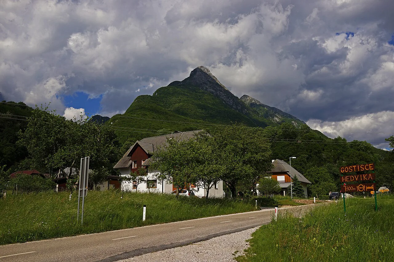

Kayaking on the Koritnica
Paddlers use the river below the troughs, entering at a point under the trough closure, not inside the gorge itself. The sport run is graded III/IV, which puts it in the class of whitewater that demands solid moving-water skills rather than a first-timer's float.
The Soča Valley source describes the paddling regulation as a daily window from 9:00 to 18:00 between March 15 and October 30, starting from the Kluže entry point downstream. Using the entry and exit points requires a day ticket, so budget for that permit as part of the trip rather than assuming access is open. Treat the window as the published rule and confirm it with the local operator before your date.
Fly fishing from the bridge to the Soča confluence
The Koritnica is fly-fishing water from the bridge down to where it meets the Soča. It sits in a catch-and-release regime, so plan on releasing what you catch rather than keeping fish. The pools hold native marble trout and grayling, which is the reason anglers add this stretch to a Soča Valley trip.
Permit and season arrangements for this regulated water are not posted by the roadside, so sort them out before you drive up the valley. Combine it with the Soča if you want a full day on the water, since the confluence is where the two rivers meet.
Who this suits and who it does not
Koritnica suits travelers driving the Bovec–Predel road who want a 20-minute stop with a dramatic view and the fortress next to it. It also suits kayakers with the right grade of experience and fly anglers set up for catch-and-release water.
It does not suit anyone expecting a gorge walk, a swimming spot or a long riverside trail. The troughs are a viewpoint, the river is regulated for sport, and the stop is short by design. If you want a half-day of easy water and open valley, look elsewhere in the Bovec basin.
Families with small children can still use the bridge viewpoint, but the drop into the troughs is the reason to hold hands and keep the visit brief. Travelers short on time should weigh the 4 km detour against the rest of their day; if Predel pass is also on the list, the stop costs almost nothing extra.
Nearby: fortress, Soča and Triglav National Park
Kluže fortress and Fort Hermann share the site, so the military history and the gorge view come as one stop. The Soča River runs through the same Bovec basin and is the obvious next look if you are following water rather than forts. Triglav National Park boundaries cover the upper valley around Log pod Mangartom and Predel, which shapes what you can drive to and where you park.
Above the Koritnica, the Bavšica valley is a quiet side trip for travelers who want a short drive away from the main road. It is the kind of add-on that works after the Kluže stop rather than instead of it.
For a wider sense of what the area offers beyond the river, the Bovec attractions guides cover the fortresses, the Soča and the organized activities that run from town.
Where to eat and stay in and near the Koritnica area
The Koritnica corridor itself is short on places to sit down, so most travelers eat in Bovec before or after the Kluže stop. Places to eat and stay cluster in and around Bovec rather than along the river, so plan the meal as part of the town stop.
For a quieter base, the villages around Bovec work better than the road up to Predel. Plužna: A Quiet Bovec Village Near the Virje Waterfall is a small settlement near the Virje waterfall that puts you in the valley without the traffic of the main road.
If you want a village center with services rather than a roadside stop, the Soča village option keeps you on the river of the same name and close to the confluence with the Koritnica.
Practical limits on a Koritnica visit
The single most useful rule is that the troughs are off-limits for sport activity, which keeps the gorge a viewing stop. Paddling access is separate and below the trough closure, and it comes with a daily window and a day ticket requirement. The river at Vodenca, where the Koritnica approaches the Soča, is where the water opens out after the gorge.
Weather changes the value of the stop, since a swollen river after rain reads very differently from a low summer flow. Rules, hours and permit arrangements can shift, so confirm them with the local tourist office or an activity operator before you rely on a paddling window.
Should Koritnica be a stop on your Bovec day?
Yes, if you are already driving the Bovec–Predel road: the troughs at Kluže are a short, striking look from the bridge and the fortress is right there. No, if you want a walk into a gorge or a swim; the troughs are not a sport area and the paddling stretch starts below them under a regulated window.
Build the stop around the bridge viewpoint, add Log pod Mangartom if you are heading toward Predel, and leave kayaking and fishing to those with the permits and the grade of experience. That gives you an honest half-hour at the river instead of a detour that does not deliver what you expected.