Krvavec: The Plateau Above Cerklje na Gorenjskem (Winter 2026/27 Outlook)
Krvavec is the mountain plateau above Cerklje na Gorenjskem in Gorenjska, with a base at 1,477 m and a ridge near 1,971 m.
On this page
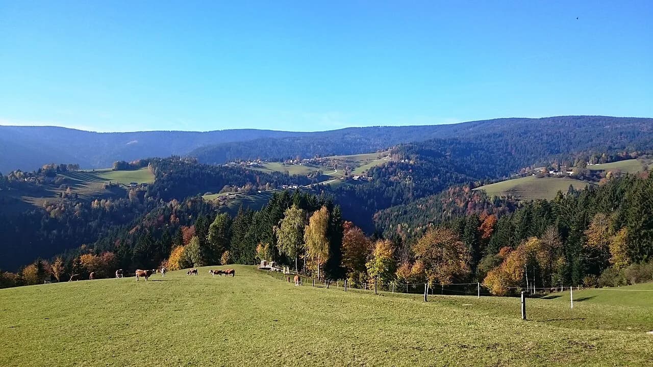
Krvavec is a mountain above Cerklje na Gorenjskem in the Gorenjska region, with a ski area that runs from a base at 1,477 meters to a summit at 1,971 meters — a vertical drop of 494 meters. That vertical gain is the key to planning a visit: once you are on the upper mountain, weather and visibility matter far more than they do in a valley town. As of late October 2026 the resort was reported closed, with the winter season listed to open on 28 November 2026. This guide maps the layering from base to ridge, explains the lift layout, separates summer from winter conditions, and describes the drive in from Kranj, Škofja Loka or the airport side.
What Krvavec is and where it sits above Cerklje na Gorenjskem
Krvavec is a mountain above the valley settlement of Cerklje na Gorenjskem, which sits about 4 kilometers from the resort area. The ski area statistics put the base at 1,477 meters, the summit at 1,971 meters and the vertical drop at 494 meters across 30 kilometers of trails. Treat those figures as the shape of the mountain rather than a promise of what is open: a live snow report dated 24 October 2026 showed the resort marked closed, with no lifts open and the season listed to open on 28 November 2026.
The mountain sits in the Gorenjska hill country that rises toward the main ranges of the Slovenian Alps. It slots naturally into a route that also takes in higher valleys and passes, and the wider Slovenia Mountains guide puts it alongside other upland areas worth knowing, including nearby Velika Planina and the Logar Valley. Base yourself in the valley towns rather than on the upper mountain, treating the plateau as a day destination.
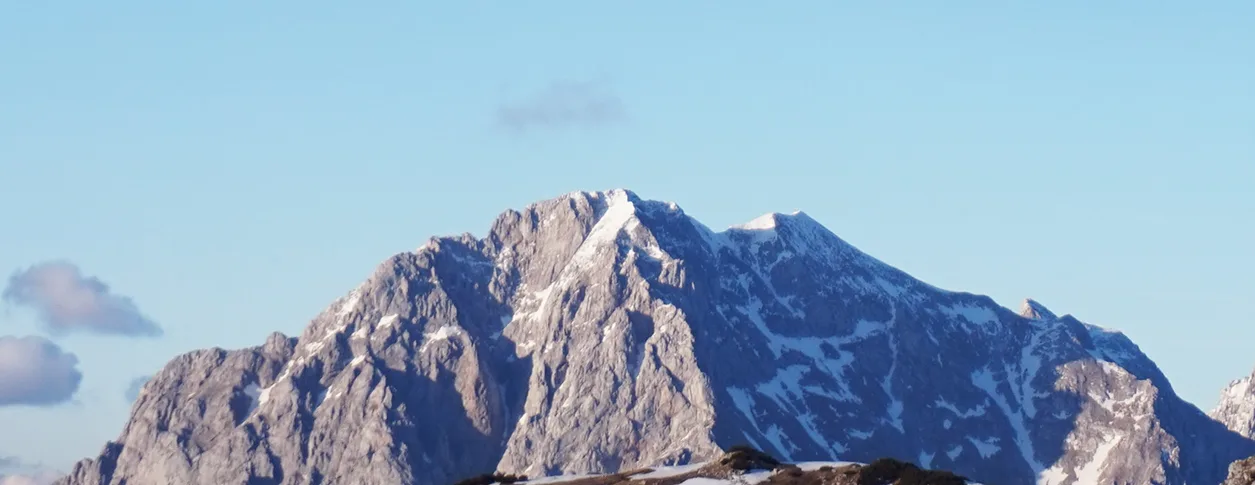
How the mountain is laid out: valley base, plateau, mid-mountain and summit ridge
Think of Krvavec in three layers. At the bottom is the valley base station; above it is the plateau where the buildings and service points cluster; and higher again the terrain rises toward the ridge around Zvoh. A 6-passenger gondola (kabinska žičnica) appears in the lift list, and further chairlifts serve the higher slopes in season. Whether any of those lifts are running on your dates is a daily matter, not a fixed feature of the resort.
The plateau is broken up by named areas that appear on the piste map and on the ground. Tiha Dolina is one of the basins the runs funnel into, and Kriška Planina is another sector served by its own chairlift. Knowing these names helps you read the trail map and decide which direction to head once you leave the top station.
Smaller lifts fan out across the mid-mountain, including the Gospinca children's area and the Njivice double chairlifts that serve the steeper pitches. Signage on the mountain uses these names, so they tell you which part of the plateau you are standing in. Lift counts and which of them are spinning are a daily matter rather than a fixed feature of the resort.
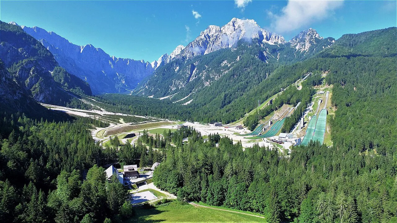
The gondola in the lift system: what the layout shows
The lift layout shows a gondola climbing from the valley toward the plateau, then chairlifts fanning out across the upper slopes. The published altitude range — 1,477 meters at the base to 1,971 meters at the summit — puts close to 500 meters of vertical between the valley and the ridge in one continuous system. Rides run only when the resort is operating, and as of 24 October 2026 no lifts were open, with the season listed to open on 28 November 2026.
At the top of the lift system you reach the plateau, with the main mountain buildings close by and the higher ridge beyond. Because the upper mountain is open ground, the weather at the top can differ sharply from the valley. Check conditions and the day's lift status before you drive up if cloud is sitting on the ridge.
Altitudes and the shape of the slopes, from base to the ridge
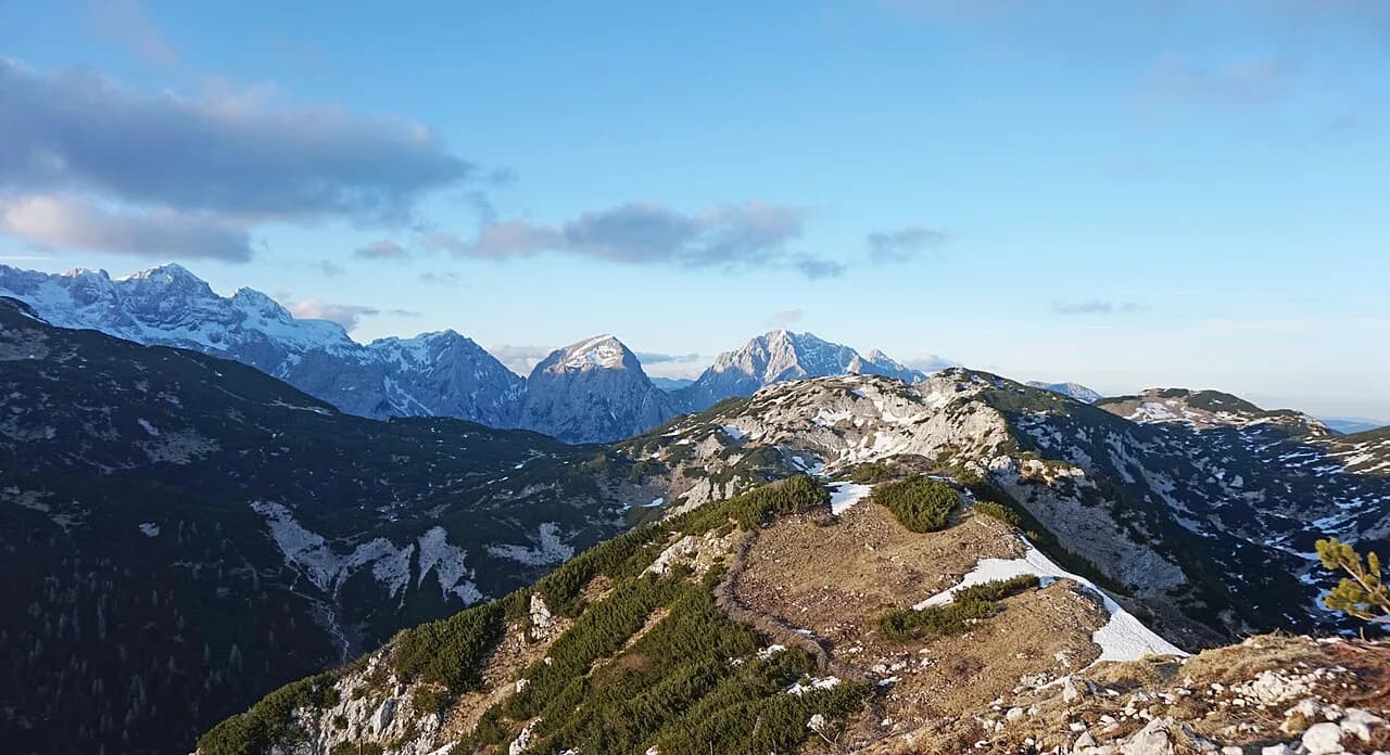
The published altitude range runs from a base of 1,477 meters to a summit at 1,971 meters, a vertical difference of 494 meters. A photo of the ridge near Zvoh is captioned at 1,971 meters, and the plateau spreads below it; other upland areas such as Rogla and Golte sit elsewhere in the Slovenian hills and their guides cover them separately. Use these numbers to gauge conditions: a valley that feels mild can still be cold and windy up top.
The slopes are graded across easy, intermediate and expert terrain, with the toughest pitches on the Njivce runs and wide, gentler ground leading into Tiha Dolina. The mountain is not one uniform face but a set of basins and shoulders that each ski differently. Reading the run difficulty before you commit to a descent saves a walk back up.
Snow depth is not uniform across the mountain, which is why the resort reports snow depths at more than one altitude rather than one figure. The snow report also tracks new snowfall and how many lifts and runs are open, and it updates through the season, so check it close to your visit rather than treating one day's numbers as the norm.
Mountain buildings and huts around the upper slopes
The upper slopes hold the resort's buildings, including Hotel Krvavec, described as sitting in the heart of the ski area, and mountain huts such as Hotel Rozka. These are the places to eat or shelter when the weather turns, and they sit within the lift-served zone. Which of them are open on your dates depends on the season, so confirm before relying on a specific hut.
A practice slope with a conveyor belt and the Gospinca children's area sit close to the buildings, which keeps beginner zones separate from the main descents. If you ride up with mixed abilities, the less confident can stay near the plateau while others head for the ridge. All of this operates seasonally, so confirm what is open for your dates before relying on a specific facility.
Summer versus winter: what changes, and the 2026/27 closure status
In winter the ski area's lifts and runs serve the piste system, and the snow report lists a season opening date of 28 November 2026 for the coming winter. As of 24 October 2026 the resort was marked closed, with no lifts open, so that date is a forward plan rather than a current state. The snow report tracks snowfall, depths and open lifts through the season, so it is a snapshot rather than a fixed picture.
The plateau is the draw in warm months: open ground, long views over Gorenjska and a high altitude. The layout is the same year-round, so a summer visit targets the same network of basins and service roads between them. What changes is the ground underfoot and the number of people. Whether the lifts run in summer on your dates is a seasonal matter, so check the day's status before you commit.
Practical constraints: weather, wind and visibility on an exposed plateau
The upper mountain is open ground with little shelter, so wind and cloud arrive fast and can shut down the view while the valley stays clear. Look up from Cerklje na Gorenjskem before you drive to the base: if the ridge is in cloud, you may climb into whiteout conditions. Strong wind can also affect whether lifts run, so check the day's status before you commit.
Visibility matters as much as temperature. On a clear day the plateau gives you a wide panorama across the Gorenjska hills toward the higher ranges, and on a cloudy one you get little beyond the inside of a cloud. Build a flexible day so you can swap the mountain for a valley town when the ridge is socked in, rather than locking yourself into a fixed slot.
Getting to the valley base from Kranj, Škofja Loka and the airport side
The road approach runs through Cerklje na Gorenjskem, the valley town at the foot of the mountain, about 4 kilometers from the resort area. Kranj is the larger town nearby and the usual base for this corner of Gorenjska. From Kranj you drive north to Cerklje and then on toward the resort area; confirm the current base-station approach for your dates, since access depends on the season and the day's operations.
Škofja Loka lies to the west and works as a base if you are also visiting that town's old center. From the Ljubljana airport side, the valley road up to Cerklje runs close to the airport corridor. A car makes the trip simple, since the base sits above the town rather than in it, and in winter allow extra time for the valley road.
What to brace for and how to plan time on the mountain
Dress for the altitude rather than the valley, because the top of the gondola sits roughly 500 meters above the base and the plateau is exposed. Layers, a windproof shell and proper footwear cover the ride and the walk between the top station and the ridge, and in winter add warm gloves and eye protection. Half a day covers the gondola, the plateau and a meal at one of the buildings; a full day lets you ride the upper chairlifts and explore the basins.
Should Krvavec be your mountain day?
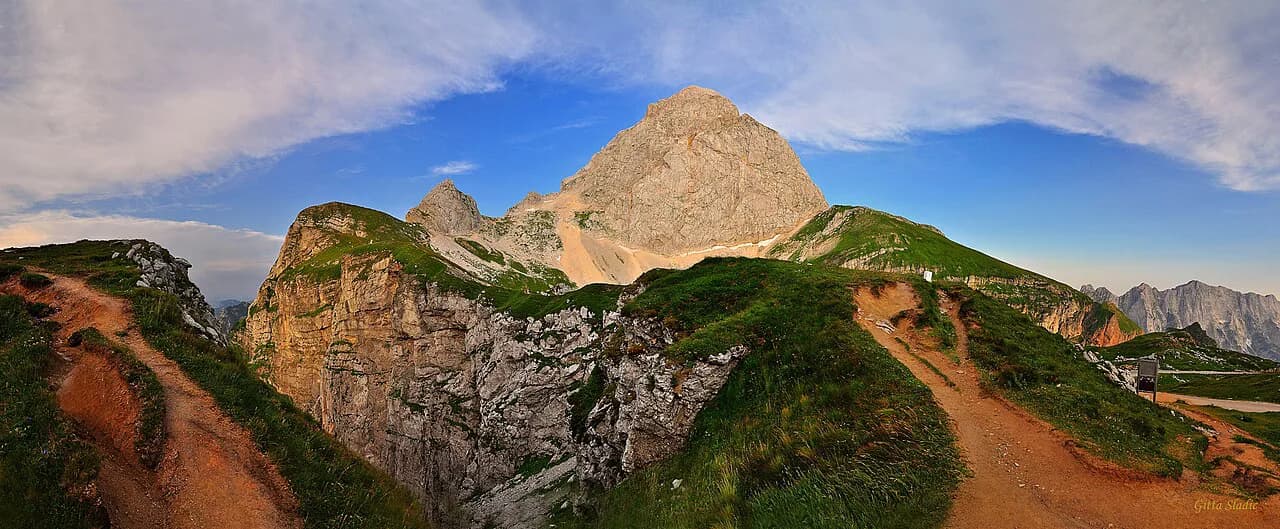
Krvavec earns a day if you want one big vertical climb from a valley town onto an open plateau, with the ridge near 1,971 meters above. It suits travelers based in Kranj or Škofja Loka who can reach Cerklje na Gorenjskem quickly and who can stay flexible on weather; check that the resort is operating on your dates before you plan around it. If you want other upland days, the Slovenia Mountains guide lists further options such as the Mangart Saddle.
Frequently Asked Questions
Is Krvavec open right now?
As of a snow report dated 24 October 2026, the resort was marked closed, with no lifts open, and the season was listed to open on 28 November 2026. Conditions change, so confirm the current status before you travel.
How much vertical does the Krvavec lift system cover?
The ski-area statistics give a base at 1,477 meters and a summit at 1,971 meters, a difference of 494 meters, across 30 kilometers of trails. That is the mountain's shape, not a guarantee of what is open on any given day.
Sources
Notes for your Slovenia trip
Optional updates to our Slovenia place guides.
You might also like
Continue reading
More guides you'll find useful