Slovenia Mountains: Ranges, Peaks, and Where to See Them
Slovenia's mountains come in three main ranges: the Julian Alps, the Kamnik-Savinja Alps, and the Karawanks, plus Pohorje. Here is what each holds and how to see it.
On this page
Slovenia's mountains belong to three ranges: the Julian Alps in the northwest, the Kamnik-Savinja Alps further east, and the Karawanks along the Austrian border, with the forested Pohorje hills above Maribor as a gentler upland. You can see serious peaks from valley roads and lakeshores without ever clipping into a harness, which is how most travelers end up experiencing them. This guide explains where each range sits, which named peaks you are looking at, and how marked trails, mountain huts, and the long Slovenian Mountain Trail fit together when you do head uphill.
What mountain ranges are in Slovenia
In a country roughly the size of Massachusetts, more than 6,000 miles of hiking trails run from highland dirt roads to marked mountain routes in the most rugged terrain, according to Alpenwild. That trail density is why the ranges feel close together: you can drive from the Julian Alps to the Kamnik-Savinja Alps in a morning. Slovenia is home to the Kamnik-Savinja Alps, the Karawanks, and the Julian Alps, with the Logar Valley sitting in the Kamnik-Savinja group.
Position matters more than peak count. The Julian Alps fill the northwest along the Italian border and hold Triglav, Slovenia's highest peak; the Kamnik-Savinja Alps lie east of them in the Savinja drainage; the Karawanks form the long ridge along Austria. A map of Slovenia's mountains showing elevation and prominence helps you match a name on a sign to the shape on the horizon.
If you want the range-by-range detail on valleys, passes, and gateway towns, start with the guide to the Slovenian Alps and use this page as the overview of the peaks themselves. Everything below stays at the scale of what you can pick out from a road, a lake, or a hut terrace.
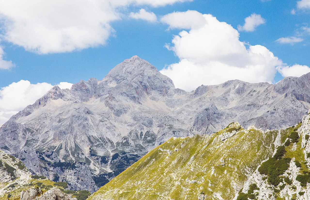
The Julian Alps: Triglav, Škrlatica, and the peaks above the Soča valley
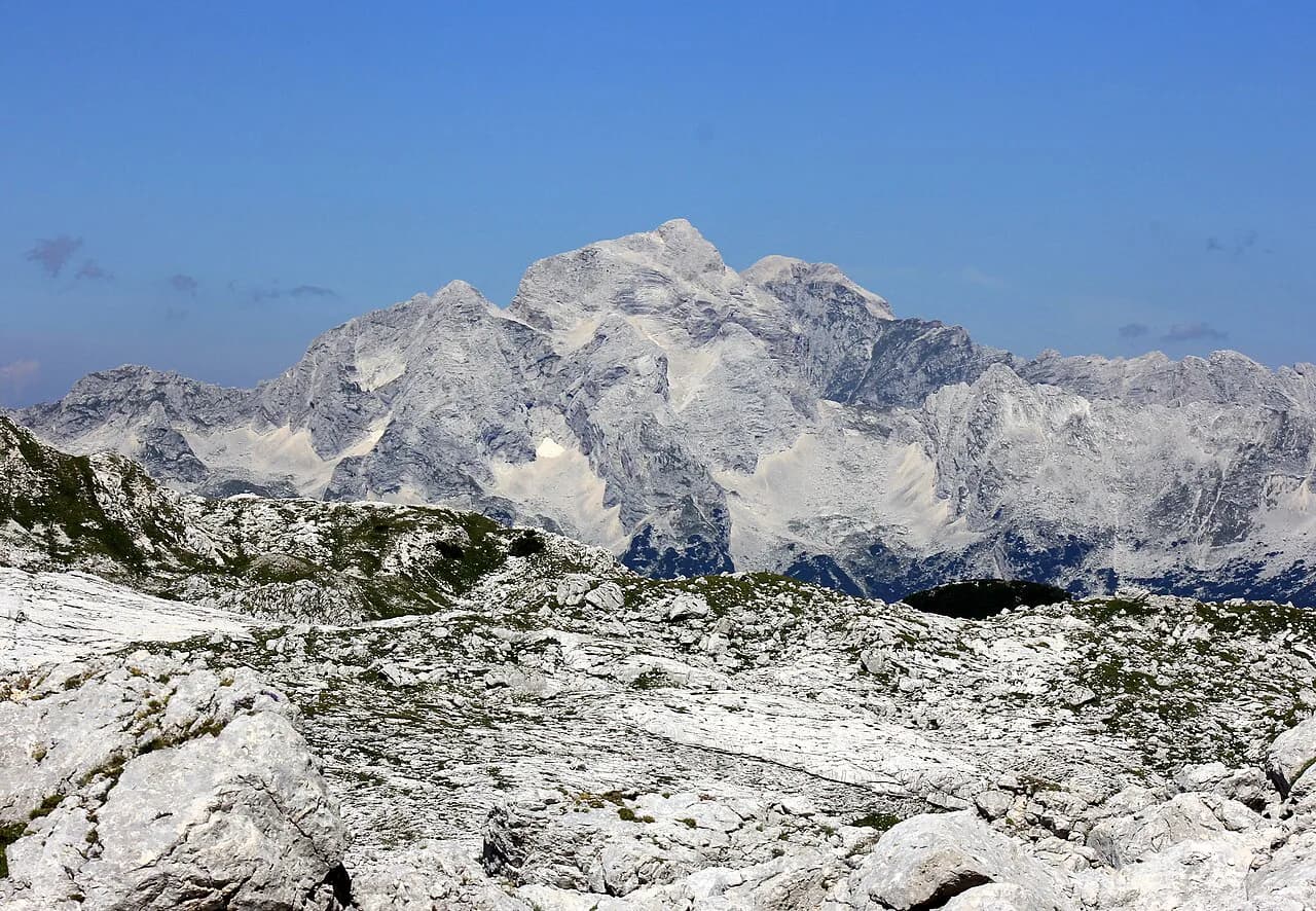
Triglav is the summit everyone names, and it gets crowded on fine summer days. One hiking blogger rates the climb from Krma as the easiest of the approaches, while the route from Zadnjica is the longest ascent in the country, covering 2,200 meters of altitude along the way. You do not need to attempt any of them to understand the massif; the north face seen from the Vrata valley is the classic view.
Škrlatica, at 2,740 meters, is the second highest mountain in Slovenia, and it sees far fewer people than Triglav. The climb is technically demanding, so treat the name as a landmark to identify from below rather than an item on a casual to-do list.
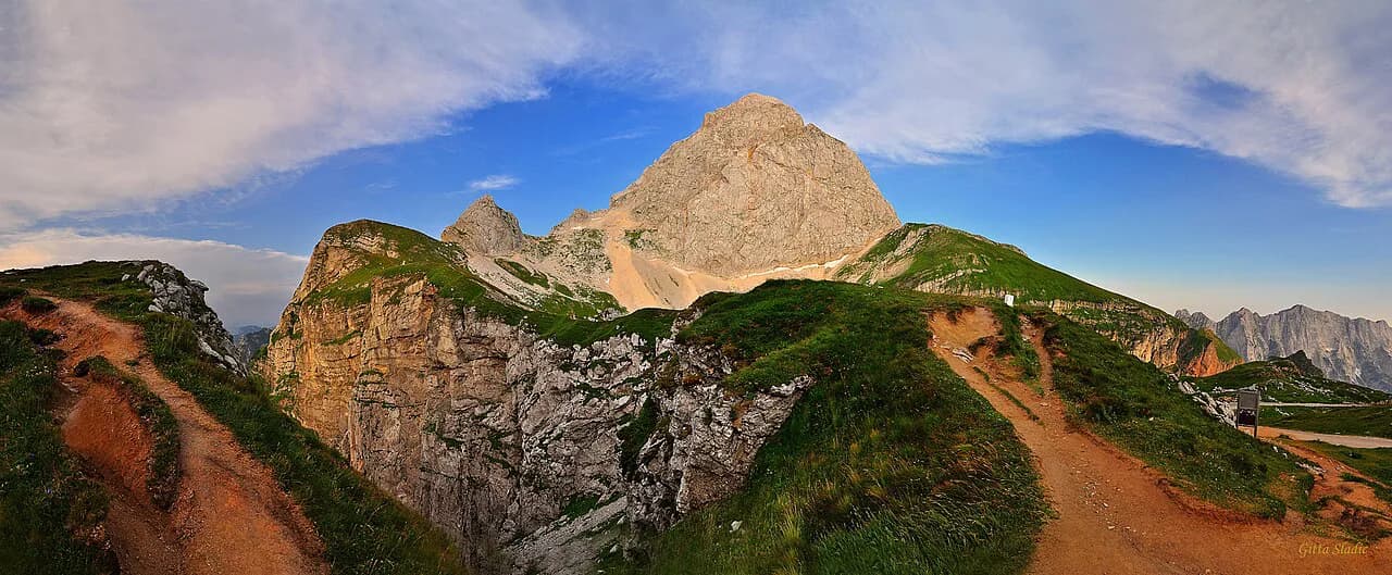
The Mangart Saddle gives drivers and passengers a high viewpoint into the Julian Alps without a trail. Do not assume the access road to the saddle is passable on your dates; seasonal mountain roads here depend on snow and closures that change by week.
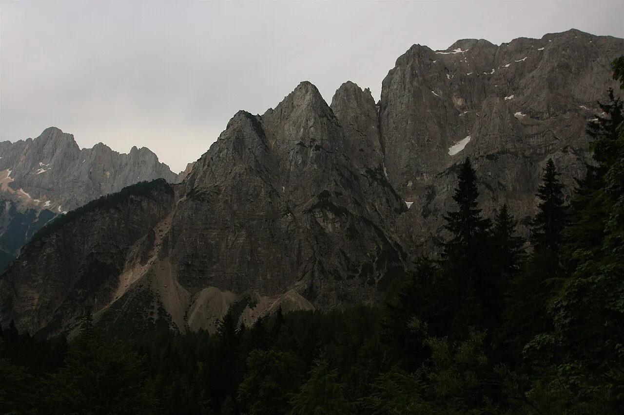
The Kamnik-Savinja Alps: Ojstrica, Planjava, and the Logar Valley
East of the Julian Alps, the Kamnik-Savinja Alps rise above the Savinja valley. On the Slovenian Mountain Trail, hikers pass Ojstrica in the heart of this range and later climb a series of peaks above 2,000 meters before crossing Storžič and dropping toward the Karawanks. That sequence gives you a sense of how the range sits relative to its neighbors.
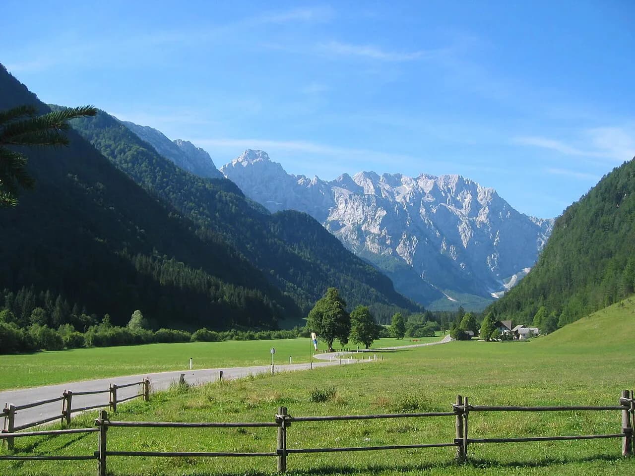
The Logar Valley is the most straightforward way to see this range from the valley floor, with the Kamnik-Savinja walls closing the head of the valley. The Logar Valley (Logarska Dolina) guide covers the layout and the traffic arrangements.
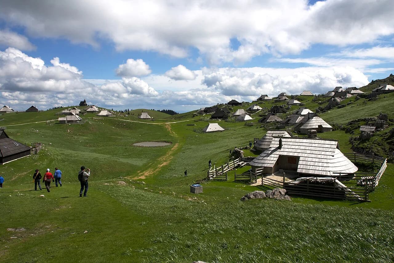
A second valley gateway sits to the west, where the Velika Planina plateau gives access to the high ground above Kamnik.
The Karawanks: Stol and the ridge above Mojstrana
The Karawanks run in a long, grassy ridge along the Austrian border, and on the Slovenian Mountain Trail they follow the Kamnik-Savinja Alps as a gentler, sunnier stretch. Stol, the range's signature summit, is the name to know. Above the village of Mojstrana, the Karawanks meet the Julian Alps, and the trail leaves them at that point, where the Slovenian Alpine Museum sits in the village.
This is also the range most people see without registering it, since the drive north from the Ljubljana basin toward the Karawanks and over toward Kranjska Gora keeps the ridge on your shoulder. If your goal is a view rather than a summit, the Karawanks deliver it from the road.
Pohorje: the forested hills above Maribor
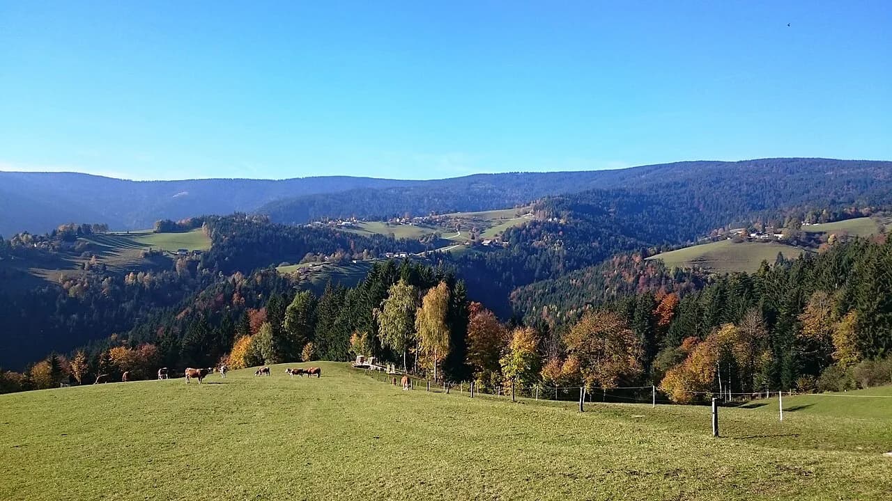
Pohorje is the outlier: dark spruce forest, gentle hills, and vineyard country rather than limestone walls. The Slovenian Mountain Trail starts in Maribor and climbs into Pohorje, spending two or three days on easy walking through the spruce forests before heading north. If you are in Maribor for a day, the Pohorje slopes are the mountain horizon behind the city.
Further along, the trail climbs Uršlja Gora and crosses Smrekovec, described as the only ex-volcanic mountain in Slovenia, before reaching a hut below Raduha. These are transitions in terrain as much as in geography, and they explain why the Slovenian Mountain Trail reads like a tour of the country rather than a single massif.
How the long-distance Slovenian Mountain Trail links the ranges
The Slovenian Mountain Trail crosses the whole country and connects all of the mountain groups above. Hikers can begin or end in Maribor or at Debeli rtič and are not restricted to a fixed season or direction. As a planning device, it shows how the ranges stack: Pohorje and the eastern hills, then the Kamnik-Savinja Alps, then the Karawanks, then Triglav and the Julian Alps, then the karst country on the way to the coast.
Trail markings and what the Knafelc blaze looks like
Slovenian mountain trails are marked with the Knafelc blaze, a white dot inside a red circle, sometimes with an Arabic number. Routes on the Slovenian Mountain Trail are classed as easy, demanding, or very demanding, so the blaze tells you that you are on a marked trail but not how hard it is. Read the classification before you commit.
Mountain huts and how hikers use them
Trails lead from valley floors past mountain huts on the way to the summits of the Julian Alps. Huts let hikers break a long route into days, which is why the two-day versions of routes like the Triglav Lakes valley exist. Hut rules, food, and bed reservations are handled hut by hut, so confirm arrangements through the Alpine Association of Slovenia before you rely on a bed.
Rocky sections, steel rungs, and cables on protected trails
When Slovenian trails cross challenging rocky ground, they are usually protected with steel rungs, called stemples, and steel cables. That means some marked routes are exposed scrambling rather than walking, and the difference matters if you have children or limited time. Plan to turn around where the protection starts unless you carry the gear and experience for it.
When the high trails open up and when snow lingers
Slovenia sits far enough south, with the Adriatic coast at its back, that hiking continues year-round at low and mid altitudes. In the high mountains, snow melts in June, a bit earlier than in the central Alps, and June brings afternoon storms, so an early start is the practical habit. Treat those as typical patterns, not a forecast for your week.
Where to see the mountains without a summit climb
The most reliable mountain scenery comes from the valleys and passes: the head of the Logar Valley, the Vrata valley below Triglav's north face, and the high road over the Mangart Saddle. Around Bohinj, the marked route from Planina Blato over the Štabce saddle reaches the edge of the Triglav Lakes valley, with figures published for the circuit at about 11 hours, 26 kilometers, and 1,500 meters of elevation gain. Those numbers are for a full day out, not a roadside stop.
Above Cerklje na Gorenjskem, Krvavec gives another high vantage over the Gorenjska region when its lifts run, and the surrounding slopes are the closest thing to alpine legs for anyone based near the Ljubljana airport. Krvavec: The Mountain Above Cerklje na Gorenjskem covers the layout.
Which range should frame your trip?
Pick by what you want to see. The Julian Alps for Triglav and Škrlatica with the Soča and Trenta valleys below; the Kamnik-Savinja Alps for the Logar Valley and the Ojstrica to Storžič chain; the Karawanks and Pohorje for gentler walking and forest. If you are not climbing, choose the valley and pass viewpoints and let the peaks stay on the horizon.
Weather and snow decide more than your plan does, so confirm conditions with the Alpine Association of Slovenia before you set out on anything high.
Explore more Slovenian Alps guides
Frequently Asked Questions
Do the Alps pass through Slovenia?
Yes. The Julian Alps fill the northwest along the Italian border and contain Triglav, Slovenia's highest peak, while the Karawanks run along the Austrian border and the Kamnik-Savinja Alps sit east of the Julian group. Pohorje, above Maribor, is a forested upland rather than an Alpine range.
What is the Slovenian Mountain Trail?
It is a long-distance transversal trail across Slovenia, marked with the Knafelc blaze (a white dot inside a red circle, sometimes with an Arabic number). Hikers can begin or end it in Maribor or at Debeli rtič and are not restricted to a fixed season or direction; its routes are classed as easy, demanding, or very demanding.
Can I see the mountains without climbing a summit?
Yes. The pass and valley viewpoints, such as the Mangart Saddle and the valley approach below Triglav's north face, give high mountain scenery without a summit route. Seasonal mountain roads depend on snow and closures, so confirm conditions before driving up.
Sources
Notes for your Slovenia trip
Optional updates to our Slovenia place guides.
You might also like
Continue reading
More guides you'll find useful