Lake Bohinj Map: Villages, Lake Shore, and How to Get Around
A Lake Bohinj map guide to the shoreline: Ribčev Laz, Stara Fužina, Ukanc and Bohinjska Bistrica, plus what sits at each end of the lake and how they connect.
On this page
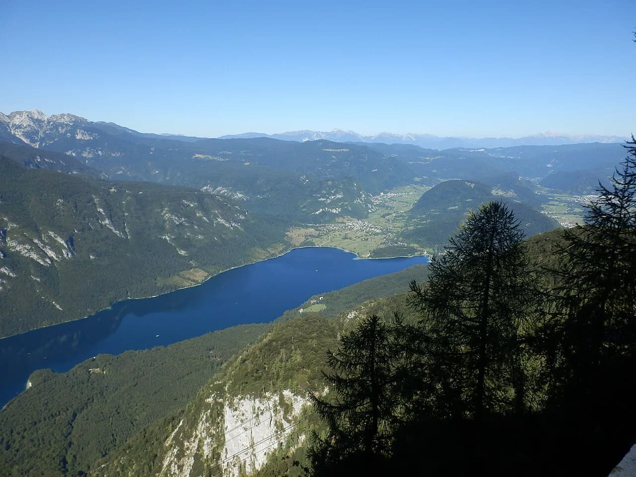
A Lake Bohinj map is simpler than most visitors expect: one lake, one road along the shore, and villages that sit in a clear order rather than scattered evenly around the water. Ribčev Laz anchors the eastern end, Ukanc the western end, Stara Fužina sits inland above the shore, and Bohinjska Bistrica is the valley town outside the lakeshore itself. This guide places each of them, explains the water flow you can use to orient yourself, and gives the lake's dimensions so you can judge scale before you plan a route.
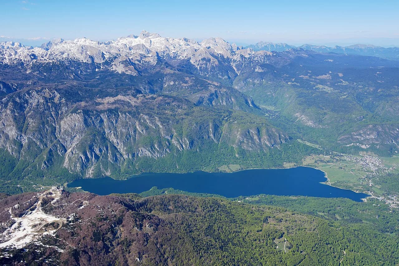
Knowing the shape matters because it decides how you move. Everything on the lake sits within the Triglav National Park, and the surrounding watershed covers around 94.3 km², most of it uninhabited and much of it above the tree line. That means the map is mostly water, forest and mountain, with a thin ribbon of road and settlement along the shore.
What a Lake Bohinj map shows: the lake, its villages, and the shore road
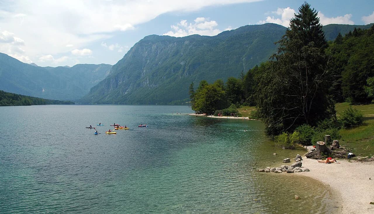
The lakeshore is a line, not a ring of villages. Ribčev Laz, Stara Fužina and Ukanc are the settlements you deal with at the water, and Bohinjska Bistrica is the larger town in the valley beyond the lake. Reading the map in that order — east end, inland village, west end, valley town — stops you picturing places spread evenly around the shoreline and helps you group what you want to see.
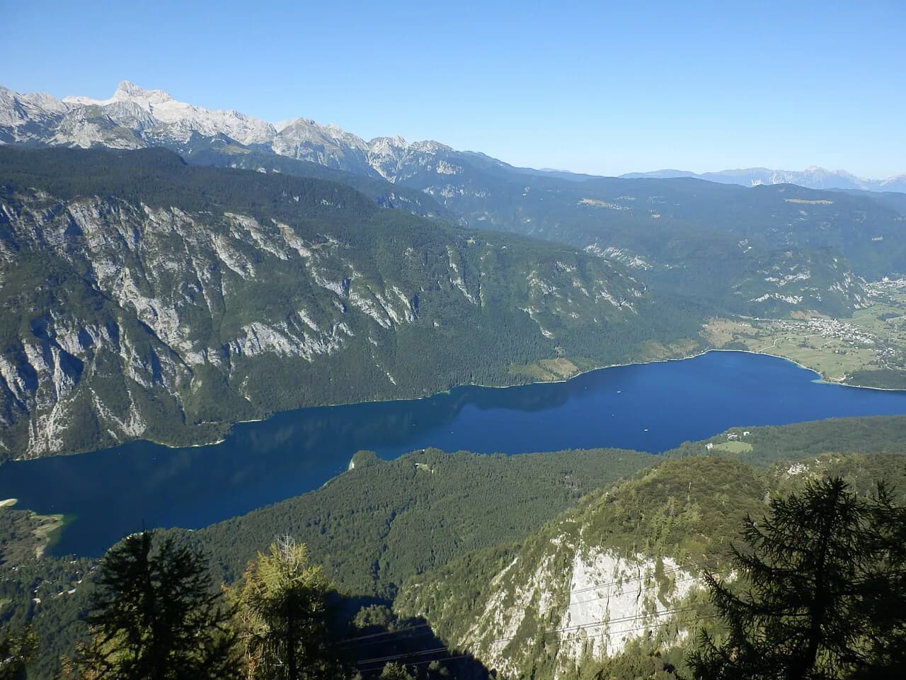
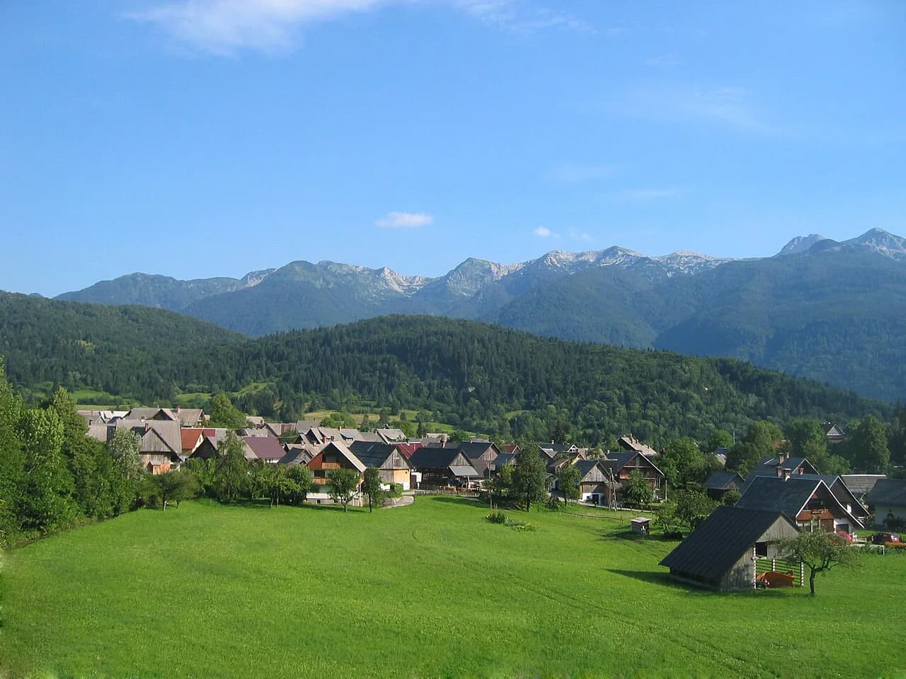
The surrounding mountains rise to around 2,000 m, so the lake sits in a bowl rather than on open flatland. On the map, that translates into few approach roads and long stretches of shore with nothing built on them. Plan your day around the road and the villages rather than expecting loops around the water.
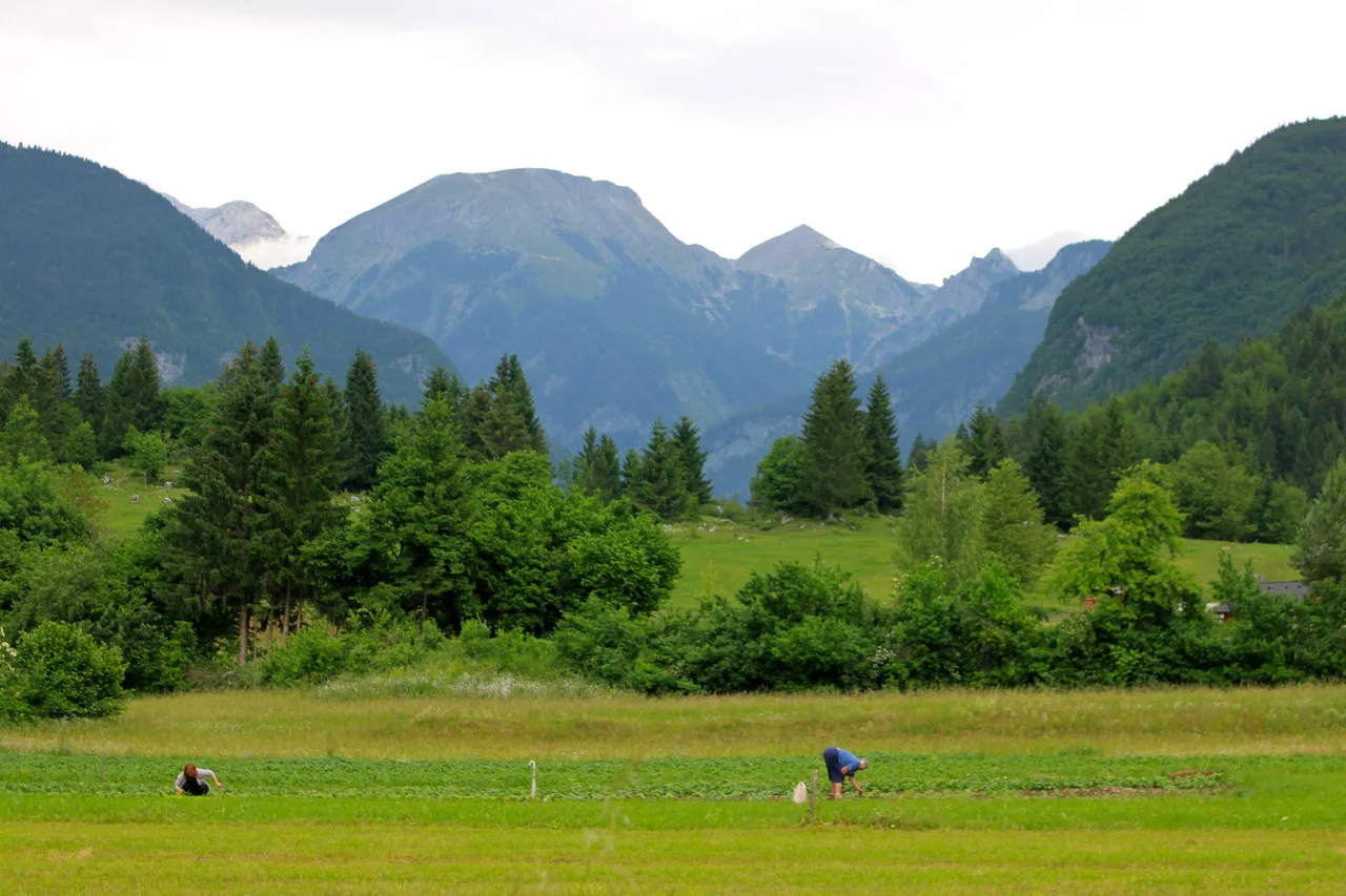
Orienting yourself: Ribčev Laz at the eastern end, Ukanc at the western end
Treat the lake as a line with two ends. Ribčev Laz is the eastern end, where the bridge over the Sava Bohinjka and the church of St. John cluster together as the arrival point most visitors meet first. Ukanc is the far western end, near where the Savica feeds the lake. Between them, the road follows one side of the water, with Stara Fužina reached by turning inland from the eastern half.
Once you fix those two ends, distances become intuitive: anything you plan on the north or south shore is a stretch of the same road, and anything inland is a detour up the valley. That is the mental model to carry into any interactive map you open.
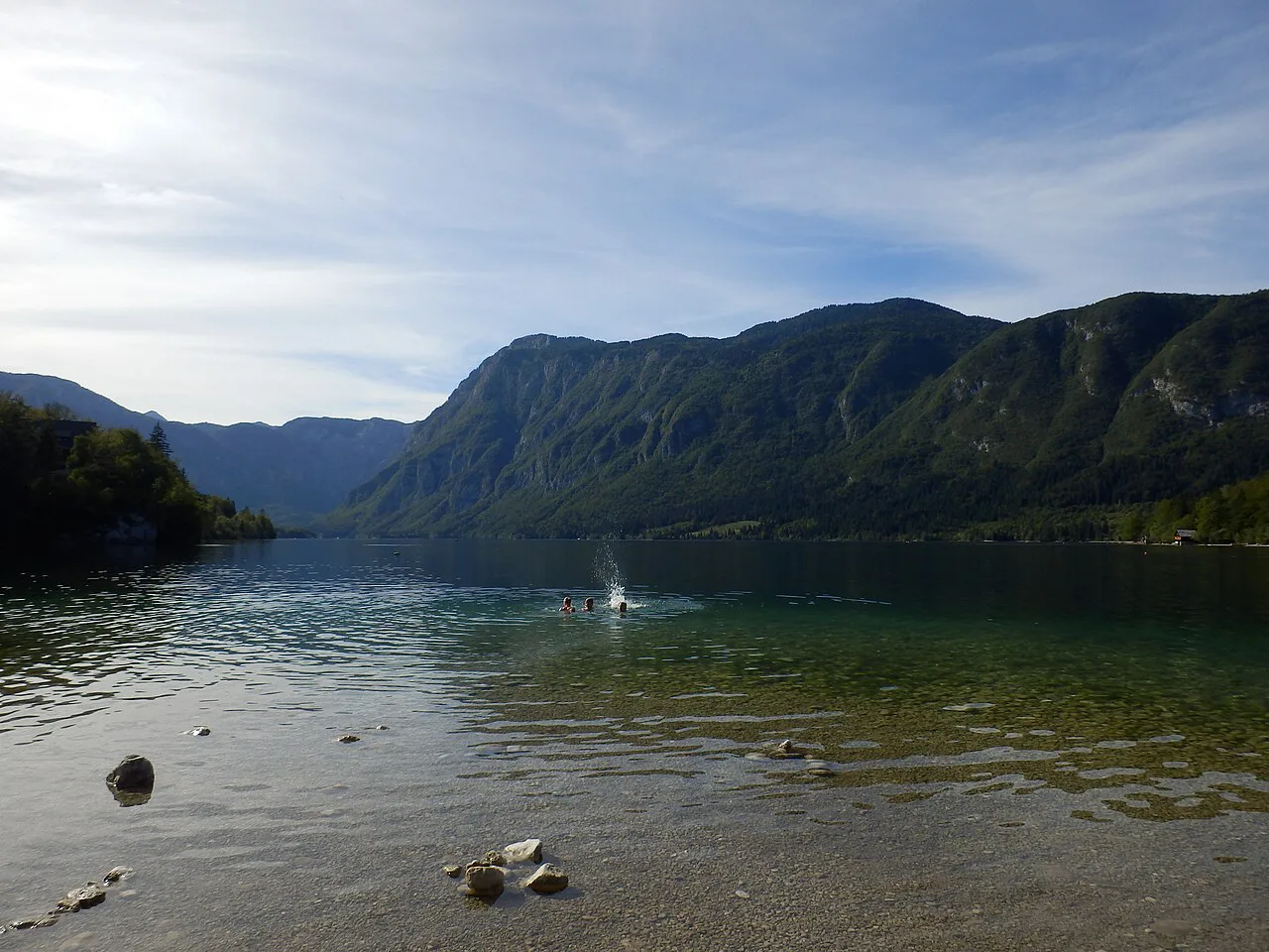
Ribčev Laz: the village most visitors arrive in
Ribčev Laz is the hub at the eastern end, with the bridge over the Sava Bohinjka and the church of St. John (sv. Janez) as its landmarks. If you are plotting a first stop on the map, this is it: the point where the valley road meets the lake and where you get your bearings on the water.
Because it sits at the junction of the approach road and the shore road, Ribčev Laz is the natural place to decide your direction for the day. Lake Bohinj Parking is concentrated near these arrival points, so it pays to understand the layout before you drive in rather than circling once you are there.
Stara Fužina: inland from the lake, up the valley from Ribčev Laz
Stara Fužina is set back from the water, up the valley from Ribčev Laz, so on the map it reads as the inland village rather than a shore stop. It gives you a second base for reading the area: the lake is one line, and the valley running away from it is another.
Use Stara Fužina to understand that the map has depth as well as length. The watershed behind the lake covers roughly 94.3 km², and the villages sit at the edge of country that climbs quickly into the mountains. A short detour inland puts you in a different landscape from the shoreline in minutes.
Ukanc: the far western end, near the Savica inflow
Ukanc closes the western end of the lake, with Ukanc bay as one of the landmarks on this stretch. The Savica enters the lake as its main inflow, so the western end is where you read the water coming in rather than going out.
For mapping purposes, Ukanc is your far marker: if you start at Ribčev Laz, this is the opposite end of the shore road. Note that the lake also receives several karst springs from the base of Mount Komarča, which is why the water story is not simply one river in and one river out.
Bohinjska Bistrica: the valley's town, outside the lakeshore itself
Bohinjska Bistrica is the valley's town, and the crucial point on the map is that it is not on the lakeshore. If you are orienting yourself, keep it separate from Ribčev Laz, Stara Fužina and Ukanc: it is the settlement you pass through or base yourself in when you want a town rather than a lake village.
That separation is useful when you plan. Grouping lakeshore stops together and treating Bohinjska Bistrica as its own point keeps your route sensible and stops you zigzagging between the water and the valley floor.
Reading the water: Savica in, Sava Bohinjka out
The hydrology gives you free orientation markers. The Savica is the main inflow, karst springs rise from the base of Mount Komarča, and the lake has a single outflow, the Sava Bohinjka. Put those three on your mental map and you can tell east from west by which way the water is heading.
The water itself turns over about every four months, so the lake's full volume changes roughly three times a year. That is a useful reminder of scale: this is a working body of water fed by a large, mostly uninhabited catchment.
The lake by the numbers: 3.28 km², 45 m deep, 525 m up
For judging scale on the map, the lake covers 3.28 km² at an elevation of 525 m above sea level, with a maximum depth of 45 m. Those figures let you translate the map into walking time and decide how much shoreline is realistic on foot.
The catchment receives roughly 2,200 to 3,300 mm of rain a year depending on how it is measured across the sources, which is why the surrounding slopes stay green and the streams run strongly. Plan for changeable mountain weather rather than assuming a dry lake day.
Walking the shoreline: planning a route by distance, not by a quoted loop
Use the lake's dimensions to judge how far you can walk. At 3.28 km² with a 45 m maximum depth, the shoreline is a set of stretches between the villages rather than a single stated loop length. Judge each leg by how long you want to be out and turn back where it suits you.
For planning, a partial route is often the better trade. Starting at Ribčev Laz and walking one direction lets you see the water and the villages at one end, and you can extend or cut the walk from the map as you go.
Planning a route around the map: where to start and which end to finish at
Start at Ribčev Laz so the bridge, the church of St. John and the eastern end anchor you, then decide whether your day belongs to the lakeshore or the valley. If you want the water, work westward toward Ukanc; if you want the inland villages, turn up to Stara Fužina and keep Bohinjska Bistrica as a separate stop.
Leave time for the parts of the map that are not lake. The Bohinj area extends well beyond the shore into the mountains, and the villages reward a slower pace than a quick run along the water.
Which end of Lake Bohinj should you start at?
Start at Ribčev Laz. It is the eastern end, it holds the bridge over the Sava Bohinjka and the church of St. John, and it gives you the cleanest read of the lake's layout before you commit to a direction. From there, Ukanc is the far western marker, Stara Fužina is the inland village, and Bohinjska Bistrica is the separate valley town.
Plan the map around those four points and the water flow between them, then choose your walking distance stretch by stretch along the shore. That is enough structure to move confidently around the lake without needing to memorize a single road name.
Explore more Bohinj guides
Frequently Asked Questions
What is the elevation of Lake Bohinj in Slovenia?
The lake sits at 525 m above sea level, and the mountains around it rise to about 2,000 m. That elevation difference is why the shoreline feels enclosed and why the weather can shift quickly across the valley.
How should I plan a walk around Lake Bohinj?
Use the villages as waypoints. Ribčev Laz sits at the eastern end, Ukanc at the western end, and Stara Fužina inland from the eastern half; judge walking distance between them against the lake's 3.28 km² surface and the road along the shore, and turn back when the day is long enough.
How do the villages around Lake Bohinj connect?
Ribčev Laz sits at the eastern end where the valley road meets the lake, Ukanc closes the western end near the Savica inflow, and Stara Fužina is reached by turning inland from the eastern half. Bohinjska Bistrica is the valley town, separate from the lakeshore rather than on it.
Sources
Notes for your Slovenia trip
Optional updates to our Slovenia place guides.
You might also like
Continue reading
More guides you'll find useful