Walking Lake Bohinj: The Lakeside Path, Distances and Timing
Plan a walk along Lake Bohinj, from the lakeshore path to the trail up to Savica Waterfall, with route lengths, timing, and how the terrain changes.
On this page
A walk along Lake Bohinj is mostly a flat lakeshore path, which makes it the simplest way to see the lake without committing to a mountain hike. The classic version runs from the eastern end near Ribčev Laz along the water to Ukanc at the western end, and from there you can add the climb to Slap Savica or take the valley trails from Stara Fužina. This guide sets out the lakeside route in order, the Savica extension with its steps to the viewing platform, and how to link the pieces when you have no car.
What the Lake Bohinj lakeside walk covers and who it suits
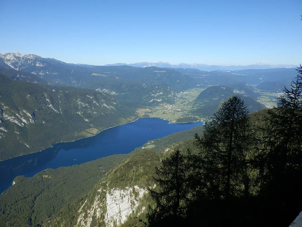
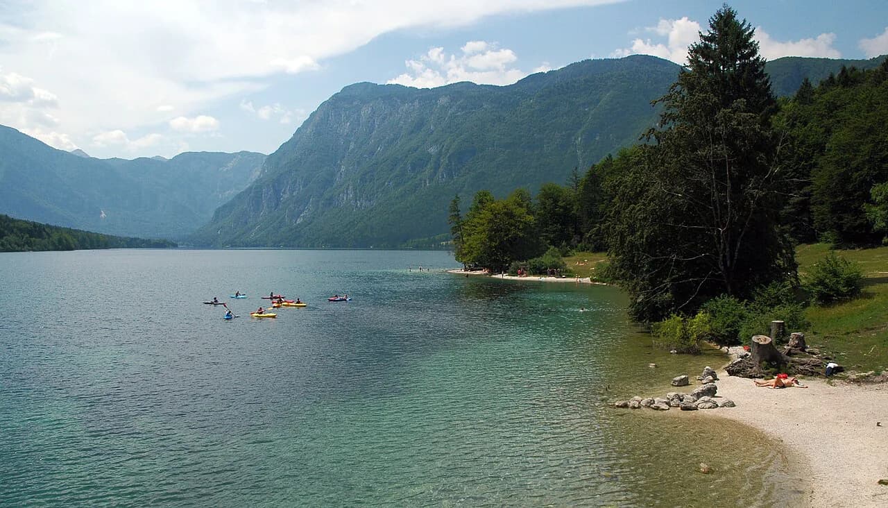
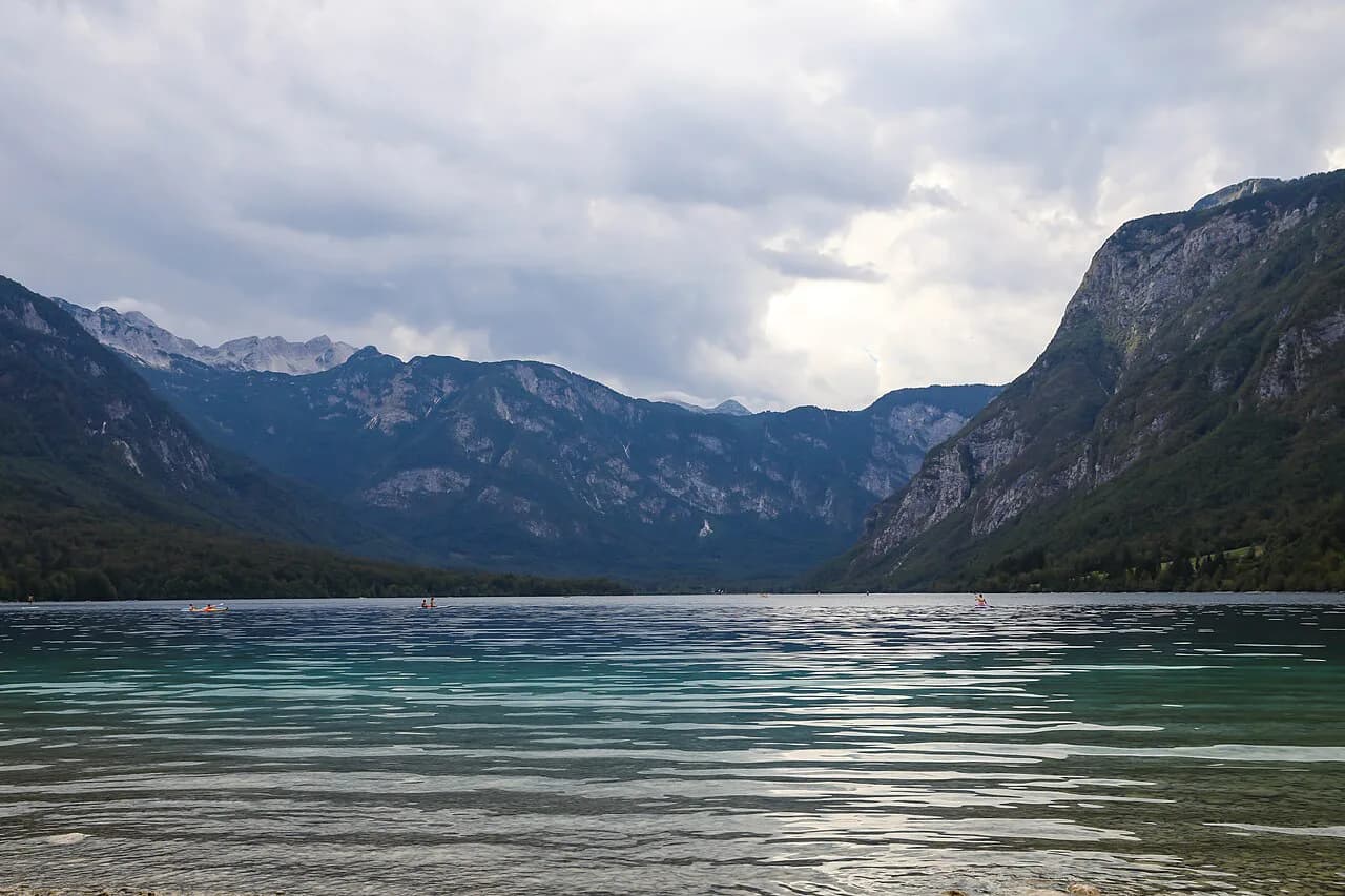
The lakeshore walk stays at lake level and follows the water's edge, with forest on one side and open views across to the mountains on the other. It suits anyone who wants a few hours outdoors at an easy pace: you do not need hiking boots or route-finding skills, and you can turn back at any point. Treat it as a lakeside walk that happens to sit inside Triglav National Park, not as a summit day.
The effort you add is a choice, not a requirement. Staying on the shore keeps the day gentle, while the Savica trail brings a steady climb and a long staircase, and the Mostnica Gorge and Voje Valley routes run considerably longer. Deciding which of these you want before you set out prevents the common mistake of treating the gorge as a short stroll beside the lake.
Where the walk starts: Ribčev Laz and Ukanc
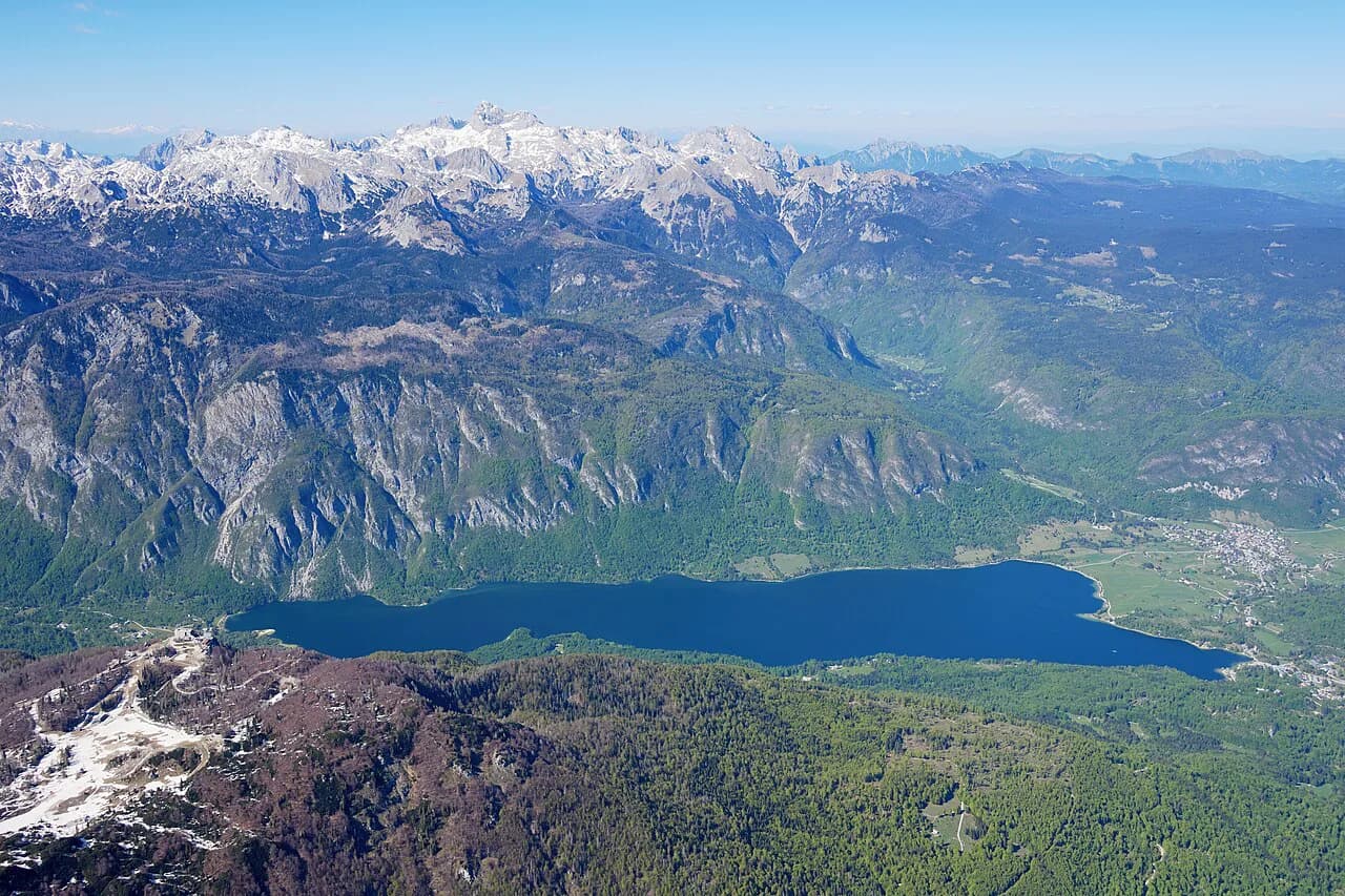
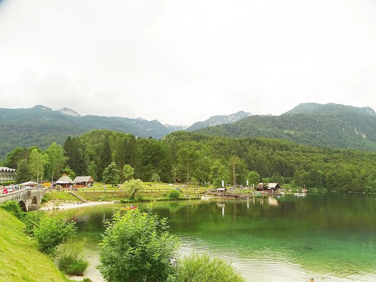
Most people begin at the eastern end at Ribčev Laz, where the lake's main access, the road, and the village facilities sit close together. From there the path heads west along the shore toward Ukanc, the small settlement at the far end of the lake that also serves as the starting point for the Savica trail. On a map the two villages look close, and the walk between them is exactly the point: you cross the whole lake on foot.
Ukanc sits at the western tip, close to the Savica trailhead and the lower station of the Vogel cable car. If you plan to end with Savica or start with the cable car, orient your day west-to-east or east-to-west accordingly, because the far end of the lake is where the lake walk and the mountain day separate. The lake map is the quickest way to fix these points before you go.
The lakeshore path in order: what you pass along the lake edge
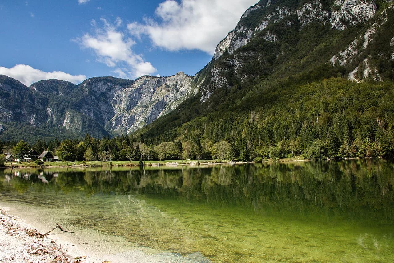
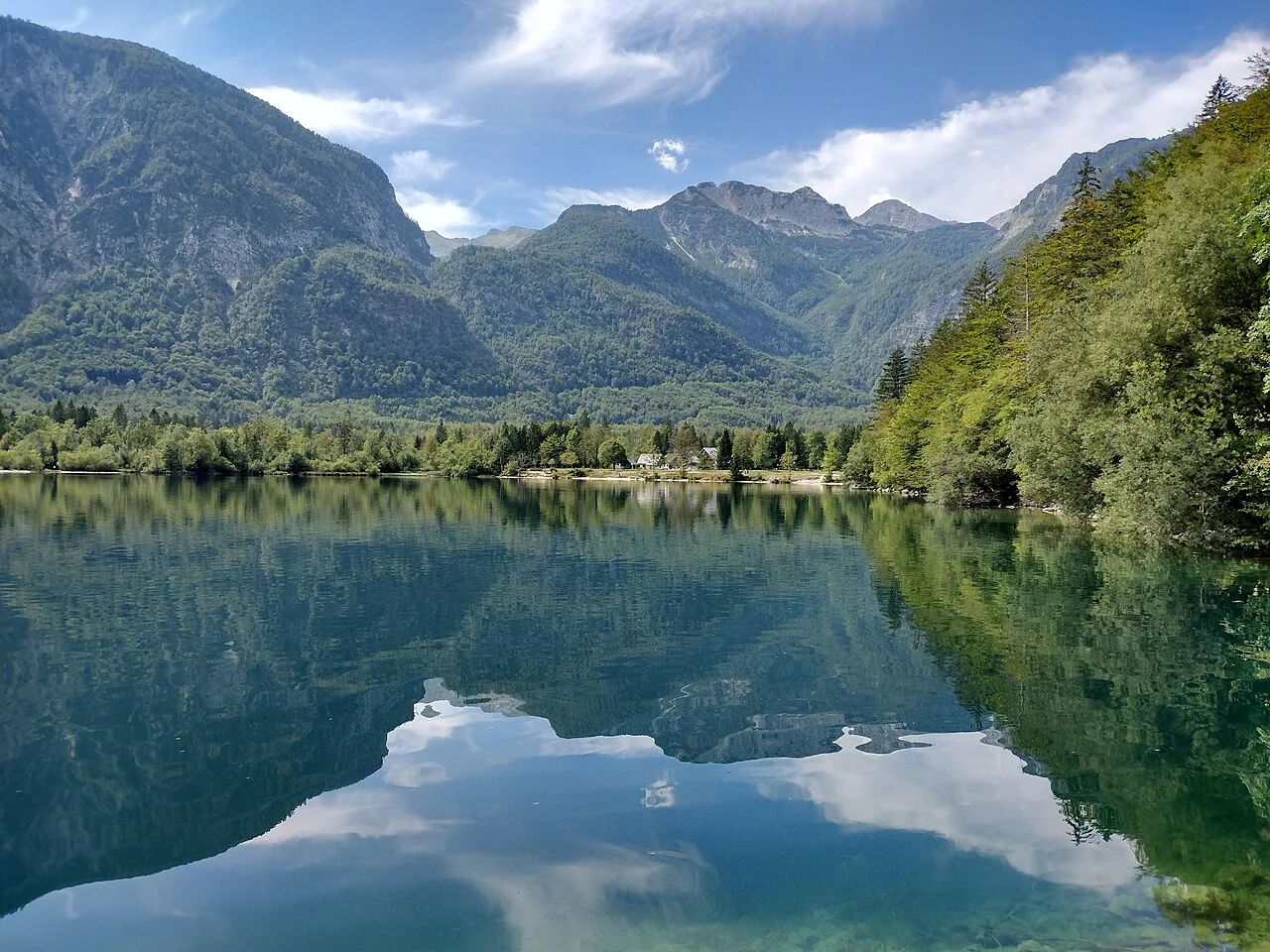
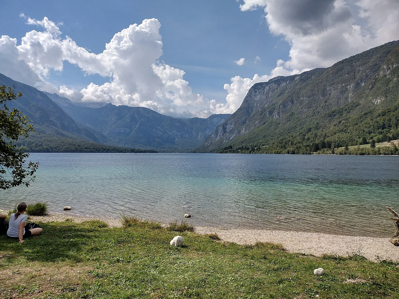
Walking from Ribčev Laz, the path follows the edge of the lake, with wooded slopes and open water close by. You pass small beaches, grassy banks where people lay out towels, and several information boards along the way. The surface is mostly easy underfoot, and the route is well marked, so you can simply follow the shore.
Toward the western end the path continues past the last stretches of open shore before reaching Ukanc. From Ukanc, the route to the Savica waterfall begins and is easy to access, with a path that is partly wooded and partly paved and is suitable for all ages. That makes Ukanc the natural hinge of the day: finish the lake walk there, then decide whether to climb.
From lake to waterfall: Ukanc to Slap Savica
The trail from Ukanc to Slap Savica is about 4 km and climbs steadily, partly through woods and partly on pavement, with information boards along the way. At the top, the final approach is a staircase to the viewing platform, and Savica is a two-armed waterfall: the left strand falls 78 m and the lower right strand 25 m. The best view comes at the top of the 553 steps, so budget your legs for the staircase rather than the walk along the lake.
Combine the two legs in one direction if you can: walk the lake shore to Ukanc, climb to the waterfall, then return to Ribčev Laz. The climb is the only real ascent of the day, and it is worth treating as a separate objective rather than an afterthought at the end of a long lakeside stroll.
How long the lake walk and the Savica extension take
The lake shore is a half-day at an unhurried pace; the Savica climb adds a couple of hours on top of the lakeside leg. A measured comparison from the trail network gives an idea of scale: a Bohinj loop combining the Savica river viewpoint with the lake runs 11.2 km with about 80 m of elevation gain and is rated moderate, requiring good fitness. That is a full loop rather than one shoreline leg, but it shows how quickly distance accumulates once you add a return.
A shorter, more focused option is the Savica river viewpoint and waterfall loop, listed at 7.48 km with 160 m of gain. Use these figures to choose a realistic half day, then add the lakeshore leg to reach the trailhead. If you are short on time, do the lake walk and skip the waterfall rather than rushing both.
Terrain: where the path stays flat and where it climbs
The lakeshore path itself is largely level and easy underfoot, following the water rather than climbing away from it. The climbs start at the edges of the walk: the Savica trail from Ukanc rises steadily to the staircase, and the gorge and valley routes from Stara Fužina gain height over a much longer distance. Plan the flat part as your base and add one climb, not three.
Mostnica Gorge and Voje Valley as an add-on from Stara Fužina
Mostnica Gorge and the Voje Valley form a long half-day add-on from Stara Fužina, not a lakeside stroll. The gorge runs about two kilometers through and over rock, and the trail to it from the village is well marked, with a path on each side so you can make a round trip. Beyond the gorge, a forest path continues into Voje Valley, and a further path leads to the waterfall.
The distance is the catch. Allowing for the gorge, the valley and the return, the round trip runs well beyond a morning, so carry more water than you think you need and check conditions on the day. A full loop from Lake Bohinj through Mostnica Gorge and the head of the Voje Valley is listed at 13.7 km with 260 m of gain. Treat it as its own day rather than tacking it onto the lake walk.
Getting to the trailheads and moving between lake and valley without a car
Bohinj is about 25 km from Bled and is connected by car, bus, train and coach, and the Bohinj Mobility Card is designed for getting around without your own vehicle. That matters on a walking day: if you plan a one-way lake walk, the bus between the lake and the villages is what makes it work. Check the current timetables and card conditions before you commit to a point-to-point route.
If you drive, arriving early at Ribčev Laz or Ukanc gives you a better chance of a space before the busiest part of the day. The parking arrangements around the lake are worth reading before you set out, since a permit or paid zone changes how long you can leave the car. Decide your transport before the route, not after.
A bike or a boat can shorten the flat lakeside leg if walking both directions does not appeal, though the lake is the reason to be there. Choose your transport before you fix the route, so the return leg does not strand you at the far end.
Conditions and timing that change the walk through the year
Savica's flow varies through the year, with the highest flows in spring and autumn, so the waterfall is most dramatic when the snow is melting and least so in a dry late summer. The lake walk itself stays a walk in any season, but snow and ice change the ground underfoot on the Savica staircase and in the gorge. Match your plan to what the water and the trail surface are doing, not to a brochure photo.
Which Bohinj walk to choose
If you have one day, walk the lakeshore from Ribčev Laz to Ukanc and add the Savica climb only if your legs and the clock allow it. If you have two, keep the second for Mostnica Gorge and Voje Valley from Stara Fužina, which is a long, genuinely different outing. Choose the flat lake walk when you want an easy day, and add one climb rather than several.
Explore more Bohinj guides
Frequently Asked Questions
How long does it take to walk around Lake Bohinj?
The lakeshore leg between Ribčev Laz and Ukanc is a half-day at an unhurried pace, and the Savica trail from Ukanc adds a couple of hours. Measured loops give a sense of scale: an 11.2 km lake and Savica viewpoint loop carries about 80 m of gain, while a 7.48 km Savica waterfall loop carries 160 m. Choose the loop that fits your available hours rather than trying to fit both.
Can you walk from the lake to Savica Waterfall?
Yes. The trail starts at Ukanc at the western end of the lake, runs about 4 km partly through woods and partly on pavement, and ends with a staircase to the viewing platform. Savica is a two-armed waterfall, with the left strand falling 78 m and the lower right strand 25 m. Budget time and energy for the descent as well.
Sources
Notes for your Slovenia trip
Optional updates to our Slovenia place guides.
You might also like
Continue reading
More guides you'll find useful