Slovenian Coast Map: Towns, Layout and How to Get Around
A map-based guide to Slovenia's 29-mile coast: where Piran, Portorož, Izola and Koper sit, how they connect, and how to plan a route between them.
On this page
Slovenia's whole coast is a short strip of Adriatic shoreline squeezed between Italy and Croatia, about 29 miles (47 km) long along the Gulf of Trieste. On a map that looks tiny, and it is: the main towns, Koper, Izola, Portorož and Piran, sit close together along one short coastline, so the coast plans as one route rather than four separate trips.
This guide treats the coast as one continuous line. It puts the towns in geographic order from west to east, describes what sits inside each, and explains the links between them. Read it before you commit to a base, because the distances are shorter than most first-time visitors expect.
What the Slovenian coast map covers
The Slovene Littoral is the southwestern slice of the country that meets the Adriatic Sea. Slovenia's coastline there is only about 29 miles (47 km) long, which is why the whole region fits onto a single page.
The towns have a distinct blend of Roman, Venetian and medieval architecture, and because they sit so close together the built-up areas blend into each other along the shoreline. On the map, treat the whole shoreline as one short line on the Adriatic between Italy and Croatia.
The Slovenian Coast, Town by Town is the place to start for town-by-town detail, while this page focuses on layout and how to move between them.
The towns in order along the coast, west to east
Reading the map from the Italian border eastward, you meet Koper first, then Izola, then Portorož and Piran on the same peninsula toward the Croatian end of the coast. The Italian border is only about five kilometers from Koper, so the western end of the coast begins almost at Italy. Keep that order in mind when planning a base, because each town sits within easy reach of the next.
Distances between the towns on the ground are small enough that you can see more than one of them in a day if you drive or take local transport. Plan your days around this order and you will avoid doubling back.
Piran: the walled town on the peninsula
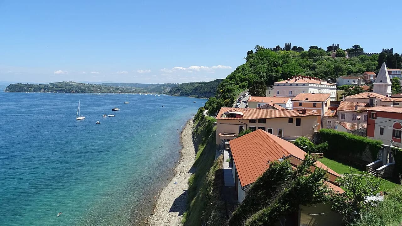
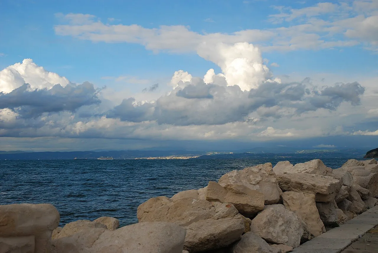
Piran is one of the country's most visited towns and is enclosed by stone walls on a promontory facing the sea. Its red-roofed Renaissance architecture gives the old town a compact, walkable footprint; once you are inside the walls, you cover the center on foot rather than by car.
Its main square, Tartinijev Trg, is the reference point on any town map, and it works as a meeting place and a landmark when you arrive by bus or on foot from a parking edge. Leave the car outside the old town and walk in, since the lanes were not laid out for vehicles.
Portorož: the modern resort next door
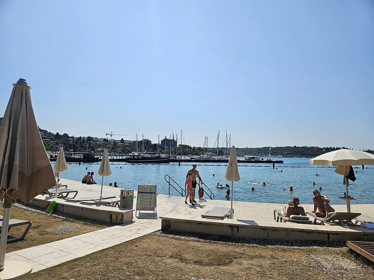
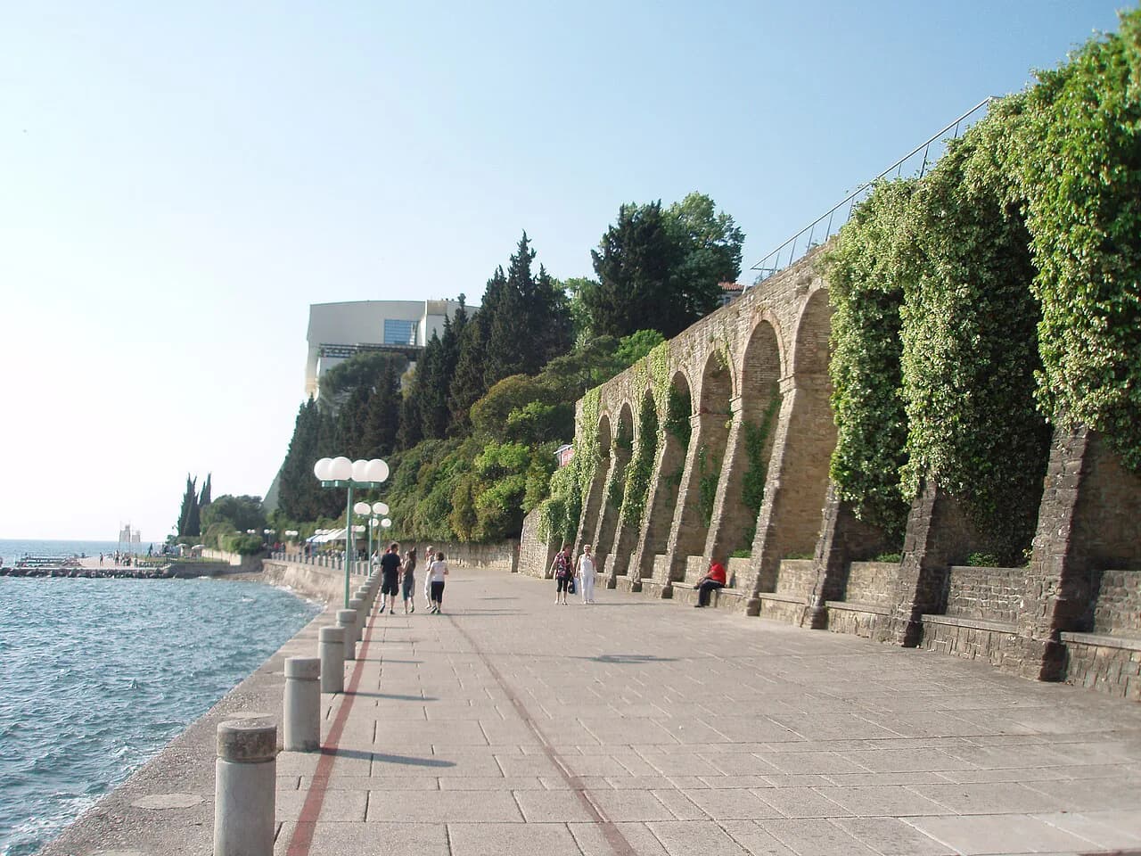
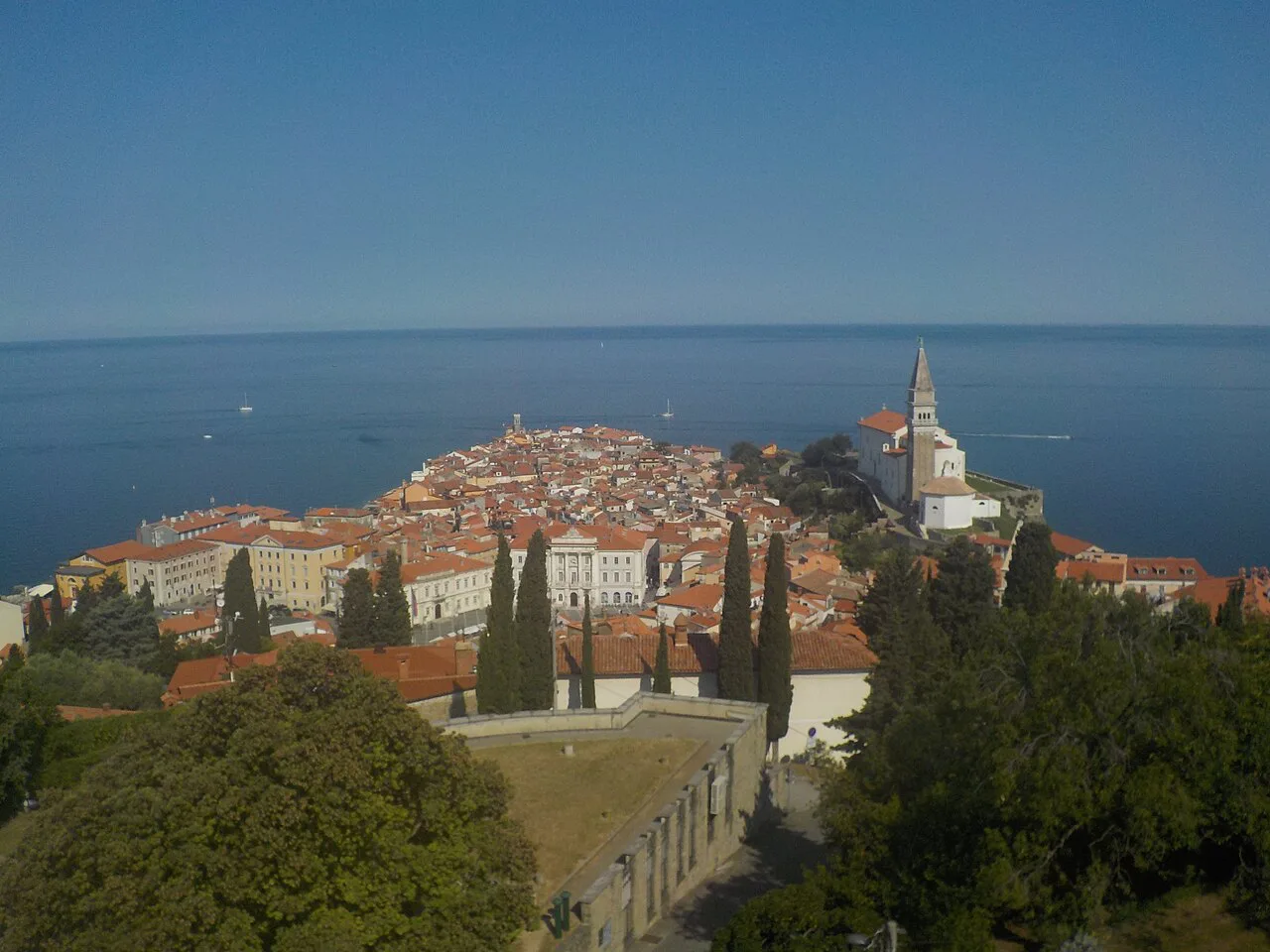
Portorož sits on the same peninsula as Piran, but its character is entirely different. It reads as the modern end of the coast, with a casino, a beach and watersports, and its Hotel Palace was historically a retreat for Austro-Hungarian royalty.
Because Portorož is on the same peninsula as Piran, you can move from the old-town lanes of Piran into the resort strip in a single outing. If you want resort amenities rather than medieval streets, base yourself here and treat Piran as a short excursion.
Izola: the old fishing town
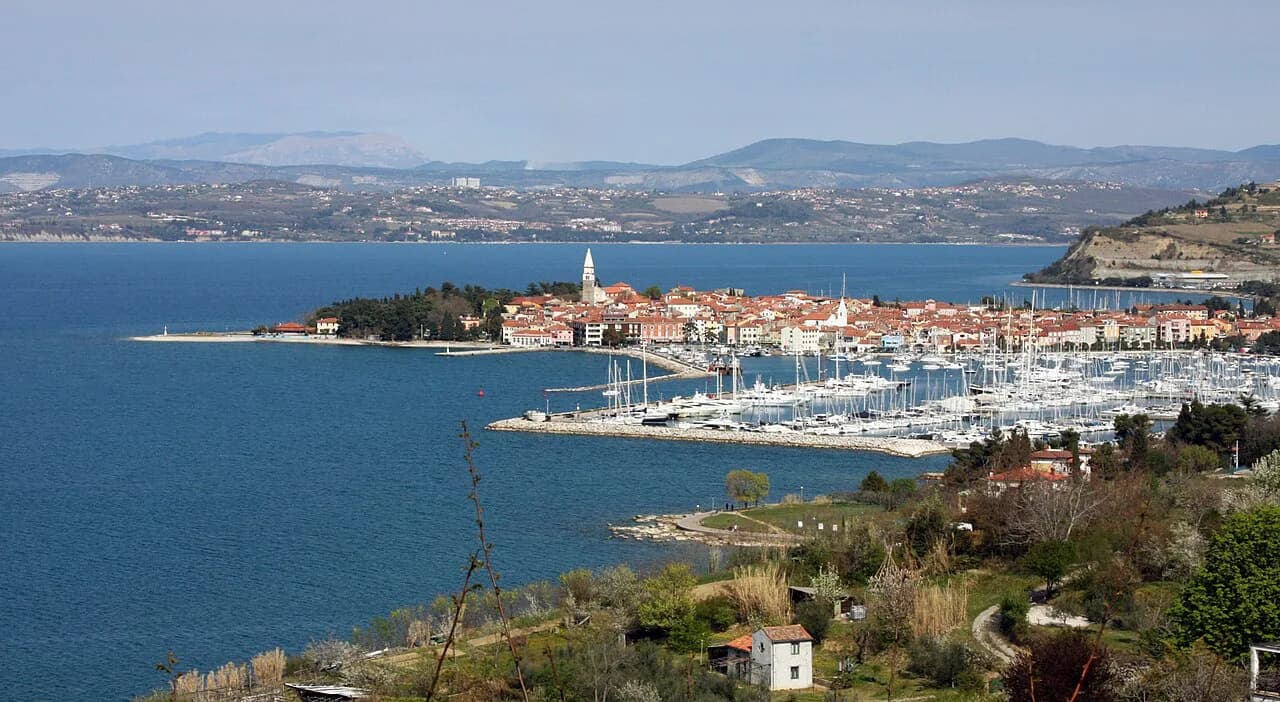
Izola sits between Koper and the Piran peninsula along the coast and reads as an old fishing town with Venetian charm and historic stone architecture. Strolling its quiet center is the point; the town rewards slow walking rather than a checklist of stops.
On the map, Izola fits between the Piran peninsula and Koper, which makes it a sensible stop on the way along the coast. For a fuller picture of the town, read Izola: A Guide to the Old Fishing Town on Slovenia's Coast.
Koper: the port city at the western end near Italy
Koper is Slovenia's major port town, which means the working harbor, not just tourism, shapes its layout. Its historic center has a Venetian Gothic loggia, a 15th-century palace and the 14th-century Cathedral of St. Nazarius, all within the compact old core.
Koper's main square is the natural starting point when you arrive, and the buildings around it carry the town's architectural story. Since Koper sits near the Italian border at the western end of the coast, it is the first of the four towns when you arrive from Italy.
How the coast sits between Italy and Croatia
The coast runs along the Gulf of Trieste with Italy at the western end and Croatia at the eastern end. The entire stretch is short enough that the border geography should shape your plan: you can drive the length of the coast in a day, but that leaves little time in any town.
A better approach is to pick a base near one of the four towns and range out from there. Treat the border towns at either end as anchors on the map and choose your order accordingly.
Getting between the towns: road and rail from the coast
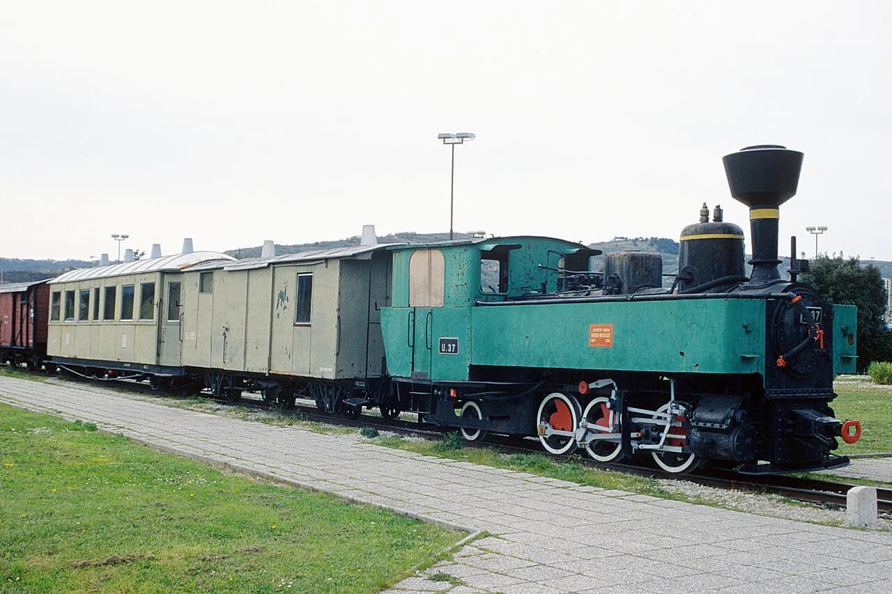
The towns sit along one short coastal corridor, and the rail line reaches Koper from the interior. Check current bus and rail timetables and routes on the operator's site before you travel, since service patterns change with the season.
If you drive, plan on parking outside the walled centers and walking in, especially in Piran and Izola where the historic lanes are not built for vehicles. The short distances between towns mean less time in the car, but parking turnover is what eats the hours.
Strunjan Nature Park and Moon Bay on the map
Between Piran and Izola, the coastline includes Strunjan Nature Park. Its pebbly beach, called Moon Bay, sits at the foot of cliffs inside the park; it is the coastal beach the published guides describe, and it is pebble, not sand.
The park is the best map answer to the question of what the coast looks like where it is not town. If you want cliffs and water without a resort strip, put Strunjan on the route between Piran and Izola, not at the end of a separate drive.
What the map leaves out: parking, crowds and the end of the coast
A map shows you the distances; it does not show you the parking turnover or the summer crowds in Piran and Izola. Because the old towns are enclosed and the lanes are narrow, expect to walk from a car park outside the walls and build that into the day.
It also hides how quickly the coast runs out. The 29 miles (47 km) from Italy to Croatia is all of it, and the four towns are packed into that short line. Plan the coast as a compact route, not a long driving tour.
Choosing which town to treat as your coastal anchor
Piran suits a traveler who wants a walled medieval center and is happy to walk everywhere inside it. Portorož suits someone who wants a resort-style base with a beach and watersports within a short walk of the hotel strip.
Izola suits a quieter, old-town pace with stone streets, and Koper fits travelers who want a working port city with a historic center rather than a resort atmosphere. All four sit close enough that any of them can serve as a base for the whole coast on a short trip.
Which coastal base fits your route
Treat the Slovenian coast as one short route rather than four destinations: pick a base in Koper, Izola, Portorož or Piran depending on whether you want a port city, a quiet fishing town, a resort strip, or medieval lanes.
Then plan two excursions from that base, one toward the Piran peninsula and one toward Koper, and leave the rest of the coast for a slow afternoon in Strunjan.
Explore more Slovenian Coast guides
Sources
Notes for your Slovenia trip
Optional updates to our Slovenia place guides.
You might also like
Continue reading
More guides you'll find useful