Parenzana Trail: Where to Join the Old Railway Route in Slovenia
The Parenzana is a bike and walking trail on the old Trieste–Poreč railway. See where it crosses the Slovenian coast and what the route involves.
On this page
The Parenzana is a cycling and walking trail laid on the former Austro-Hungarian railway between Trieste and Poreč, and the easiest place to join it from the Slovenian coast is between Koper and Izola, heading west toward the Sečovlje saltpans and the Croatian border. It is not a single short path: the full line runs through Italy, Slovenia and Croatia, so you pick a stretch rather than "doing" the trail in an afternoon. This guide covers what the route actually is, where the Slovenian coastal section fits, how far the distances run, and the practical points that decide whether you ride a couple of hours or a few days.
Read it as a planning page for people based on the coast who want one good day on the trail, with a clear-eyed look at the longer option for anyone with more time and the right bike.
What the Parenzana actually is
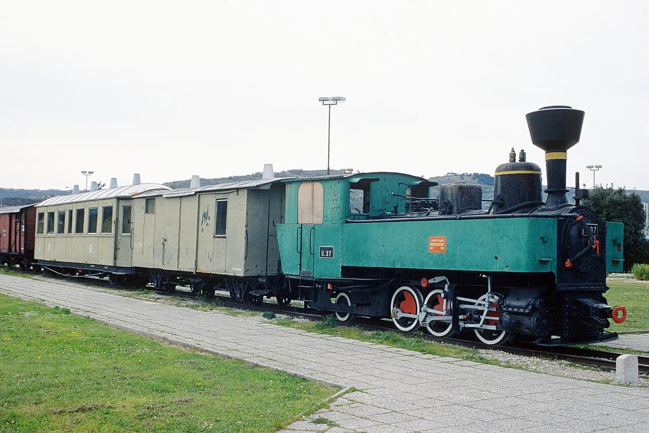
The Parenzana began as a narrow-gauge railway linking Trieste with Poreč, and it carried passengers along with wine, olive oil, salt, stone, lime, coal and wood. The line opened in 1902, and today the old railway bed functions as a bike and walking route through Italy, Slovenia and Croatia.
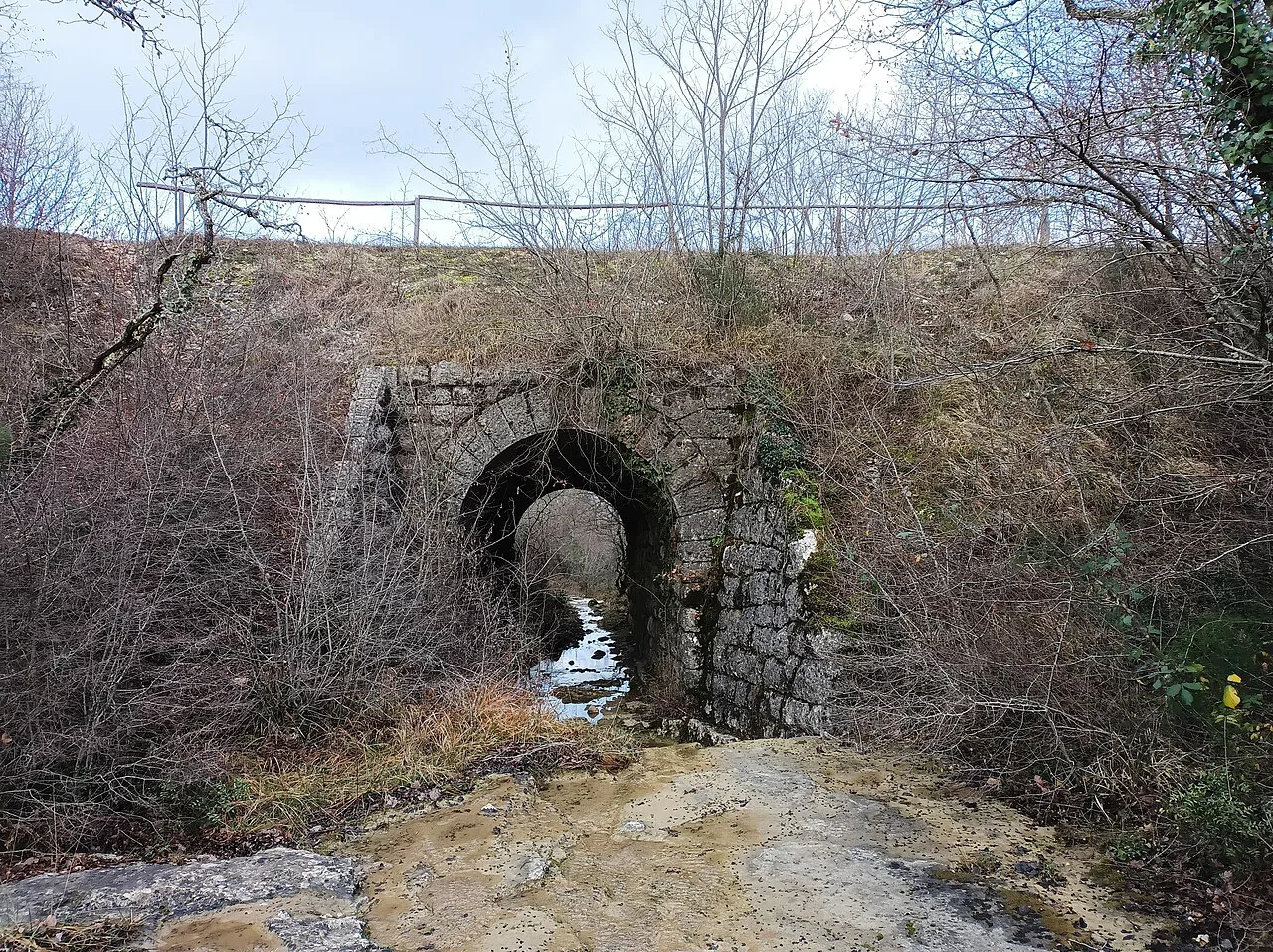
That railway history shapes what you see: you are riding a graded rail bed, not a road, so the trail passes through station buildings, tunnels and viaducts rather than around them. Travelers based in Koper or Izola can ride the same corridor the trains used without arranging a long transfer.
Which countries the route passes through
The corridor runs through three countries. Trieste sits at the Italian end, Koper, Izola and the Sečovlje saltpans area make up the Slovenian stretch, and the line continues into Croatia toward Buje, Grožnjan, Motovun and Poreč.
The Slovenian Coastal section is short compared with the Croatian inland, which climbs into the hills around the Mirna Valley. If your base is on the Slovenian coast, plan the ride around the coastal towns and the border crossing rather than around Istria's hill towns, which need their own day.
The saltpans at Sečovlje are the natural western anchor for a Slovenian ride, and they sit close to the Plovanija–Sečovlje border crossing into Croatia. The Sečovlje Salina Nature Park page is worth reading before you build the ride around a stop there, since the pans are a working landscape with their own access rules.
How long the route is
The official Parenzana app maps the Croatian part of the trail from Poreč to the Plovanija–Sečovlje border crossing at roughly 78 km, with side tracks pointing to places of interest off the main line. That figure covers Croatia only, so it is not the length of the whole Trieste–Poreč route.
A 2025 route guide describes the full trail as about 123 km end to end. Separately, the Parenzana.info project publishes 2-, 3- and 5-day proposals as suggestions rather than an official timetable. Treat those proposals as one starting point for splitting the distance, and set your own daily target from how far you actually want to ride.
For a coastal day, the honest arithmetic works in your favor: the Slovenian stretch between Koper, Izola and the saltpans is a fraction of the full line, so you can ride out and back comfortably without committing to the inland climbs. The ride-with-GPS report on the Parenzana follows the narrow-gauge railway through Istria and is a useful cross-check when you compare your own plan against a recorded route.
Tunnels, bridges and viaducts
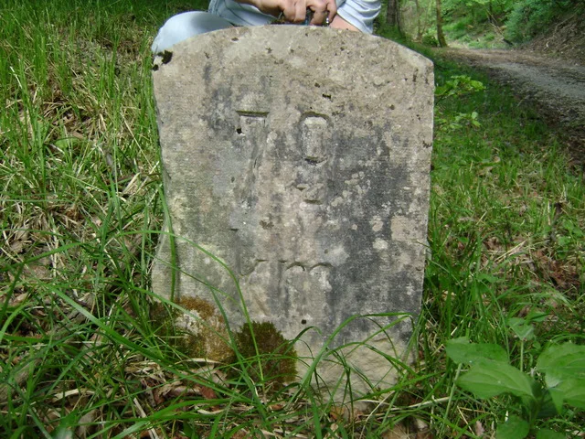
The trail carries the railway's engineering with it: the app records 9 tunnels, 11 bridges and 6 viaducts along the Croatian stretch, with scenic lookouts between them. The route guide adds restored tunnels, stone viaducts and original station buildings as the features that give the line its character.
Plan the tunnels as a practical constraint, not a photo stop. Many of the tunnels are long and dark, so a working front light and a rear light belong on your bike even for a daylight coastal ride; the route guide lists lights among the essentials for exactly this reason.
Surfacing and which bike to bring
The surface mixes gravel, dirt and asphalt, and the app is blunt about it: the terrain in places is rough enough that the trail suits mountain bikes and is not suitable for road or trekking bikes. A gravel bike with wider tires is the sensible middle choice if you already own one; a road bike with narrow slicks is the wrong tool.
The route guide's advice points the same way, recommending a gravel or mountain bike for the varied terrain. Carry water and snacks even where cafés appear along the way, because the exposed stretches between towns give you nowhere to refill quickly.
Where to join it on the Slovenian coast
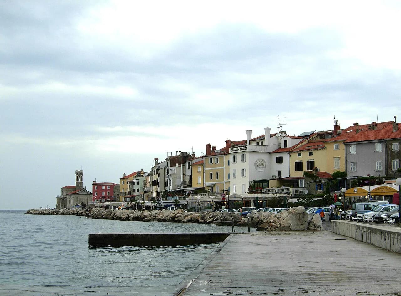
Koper and Izola are the practical entry points if you are staying on the Slovenian coast. From either town you can pick up the corridor and ride west toward the Sečovlje saltpans and the Croatian border, keeping the route in the coastal, flatter terrain rather than the inland hills.
The old line is also a walking trail, not just a bike route, and the app describes the full corridor as suitable for hiking as well as cycling. That opens up a sensible half-day: walk or ride one stretch, then return by bus or car rather than retracing the whole distance.
If you are based further along the coast, Portorož is roughly on the way to the saltpans and works as a start or finish point for a shorter ride. Strunjan, between Izola and Portorož, sits on the same coastal strip and gives you a quiet alternative base if you want the trail on your doorstep without staying in the bigger towns.
A map of the coast helps before you commit to a route, since the trail runs close to the shoreline in places and inland in others. Carry a printed or offline map as a backup, because the app and any GPS device both depend on a charged battery over a full day.
A short coastal section or the full route
A short coastal section is the better choice for most readers. You get the tunnels, viaducts and station buildings without the inland elevation, and you can be back in Koper or Izola for dinner. Riding the full Trieste–Poreč line is a multi-day project that calls for luggage logistics and a bike you can trust over gravel for hours at a time.
Spring and autumn are the cooler, quieter windows for a long ride, while summer rewards early starts and longer midday breaks. This is general guidance rather than a forecast; check the weather in the days before you go, since the trail has exposed stretches with little shade.
The Parenzana crosses from Slovenia into Croatia near Sečovlje, and you should carry your passport or ID card as you would for any border area rather than assume you can simply roll through. If you ride inland, the towns along the way give you a natural lunch stop before you turn back.
Rental, shuttles and guided options
Bike rental, luggage transfers, shuttles and guided tours exist along the Parenzana corridor, including operators who package rentals, gear and transport with local guides. If you want a one-way ride without doubling back, a shuttle or transfer is the piece worth booking ahead, since you will otherwise be tied to an out-and-back plan.
Some lodging along the trail rents bikes directly, which saves you hauling one onto a train or into a car. The La Parenzana hotel near Buje, for instance, rents bikes for the whole family and runs a guided Bike & Wine cycling experience with Stevens bikes, helmets, a guide and a transfer back from the winery.
Ask about rental rates and shuttle schedules when you book, because the sources here do not publish prices or times. If you are staying on the Slovenian side, the coastal towns' tourist information points are the sensible place to confirm what is running on your dates.
Trail versus road or bus between the coast towns
For pure transport between Koper, Izola and Portorož, the road or a bus is faster and simpler than the trail, and there is no reason to pretend otherwise. Choose the Parenzana when the ride itself is the point: the tunnels, the viaducts and the old station buildings are what you came for.
The two approaches also pair well. Ride the trail one way between the coastal towns, then take a bus or a lift back, or use the trail for a morning and the road for an afternoon errand. The trade-off is time and effort against the scenery; the trail wins on the second and loses on the first.
Either way, plan around daylight and battery life rather than a fixed itinerary.
Which stretch of the Parenzana should you ride?
Ride the Slovenian coastal stretch between Koper, Izola and the Sečovlje saltpans if you have a day and want the railway's tunnels and viaducts without the inland climbs. Bring a mountain or gravel bike, front and rear lights for the tunnels, and a backup map; the app's 78 km figure covers the Croatian section only, so don't use it to size a full Trieste–Poreč ride.
Commit to the multi-day route only if you can arrange a bike you trust, luggage movement and an overnight plan before you leave. Otherwise, the coast gives you the best of the trail in a few hours and leaves the Inland climbs to another trip.
Explore more Slovenian Coast guides
Sources
Notes for your Slovenia trip
Optional updates to our Slovenia place guides.
You might also like
Continue reading
More guides you'll find useful