Strunjan: Cliffs, Salt Pans and the Valley Walk
Strunjan packs a flysch cliff coast, working salt pans, a lagoon and a hilltop church into one small protected park between Izola and Piran.
On this page
Strunjan deserves half a day to a full day between Piran and Izola, and it works best as a walking stop rather than a quick beach break. The settlement sits inside Strunjan Landscape Park, a protected stretch that combines a flysch cliff coast, a bay, salt pans and a hilltop church within a few kilometers. This guide covers what the park contains, how the marked circular trail is laid out, where to start and how to slot Strunjan into a wider Slovenian coast itinerary.
What Strunjan is and where it sits
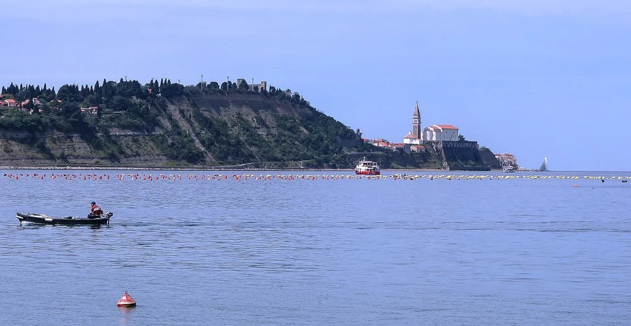
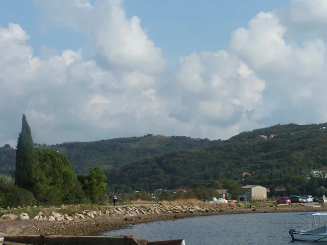
Strunjan is a small coastal settlement in the Municipality of Piran, in Slovenia's Littoral region, and it lies inside Strunjan Landscape Park. The park covers roughly 430 hectares along the Gulf of Piran and holds salt pans, a flysch cliff coastline and dense Mediterranean vegetation. The settlement sits about 5 kilometers east of Piran and 3 kilometers west of Portorož, which makes it a natural stop between the two.
The protected area is not only dry land. Landscape Park Strunjan is the only area of state-level protection in Slovenia that includes the sea, with a 200-meter belt of coastal sea and the entire Bay of Strunjan as far as Pacug. That matters for planning because the water in front of you is part of the reserve, not a separate beach zone.
How long Strunjan needs
The marked Strunjan trail is 12 kilometers long and takes around three hours from start to finish. It is a circular route, which means you finish where you began and do not need to arrange a return transfer. Treat the three hours as walking time and add whatever you spend at the beach, the church or a lunch stop.
If three hours is too much, split the route: the beach, the salt flats and one climb to the hilltop church make a shorter visit, while the full loop adds the coast toward Portorož and the return through the Valeta tunnel. Either way, arrive with enough daylight to finish the section you choose.
The coastline: flysch cliffs, pebble beach and sheltered bay
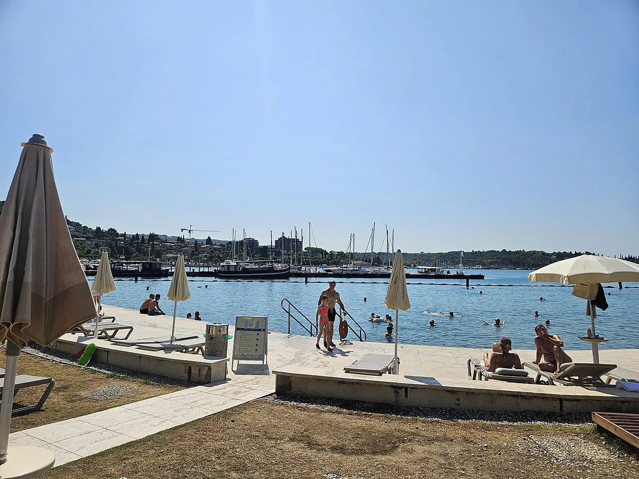
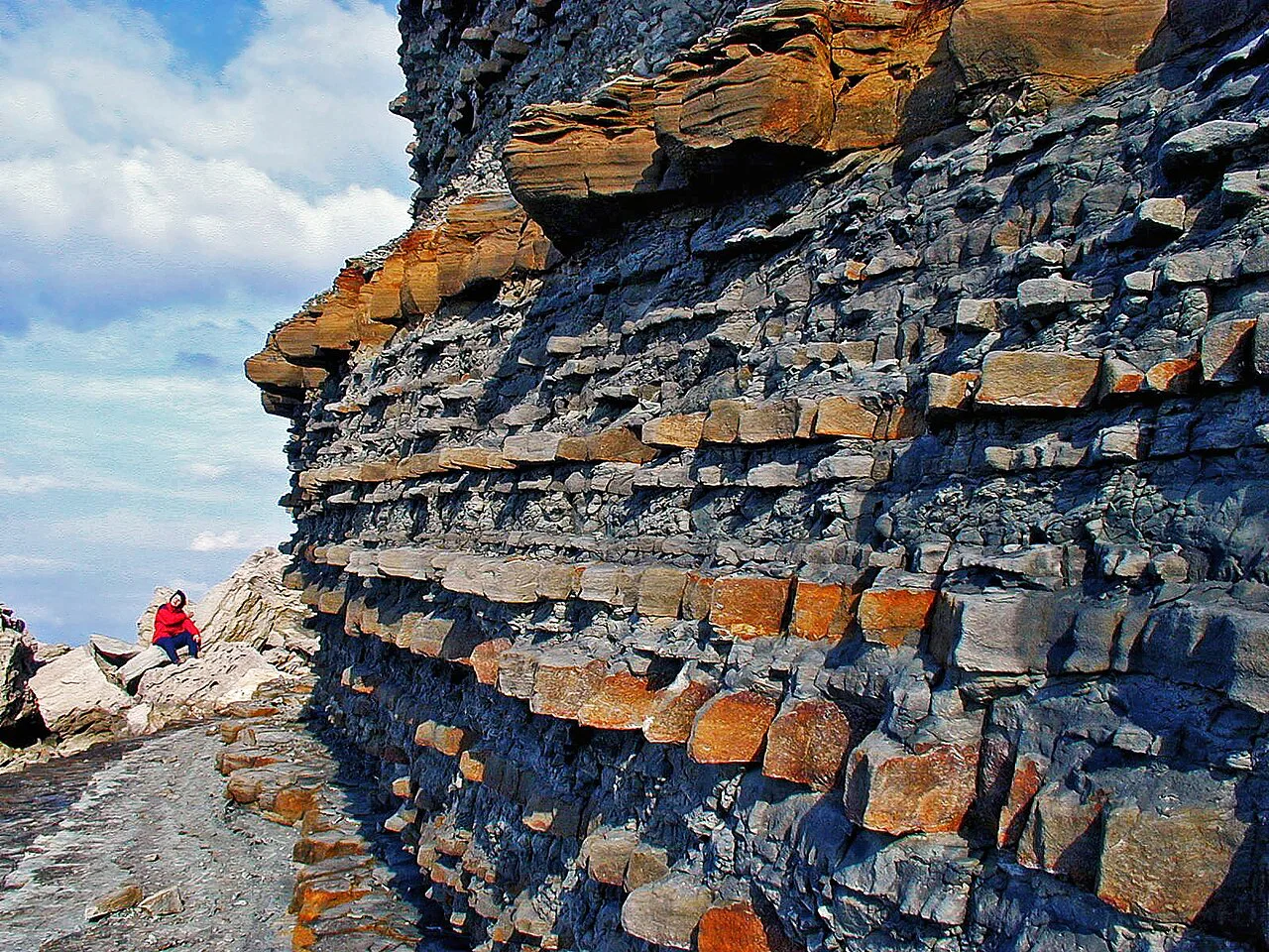
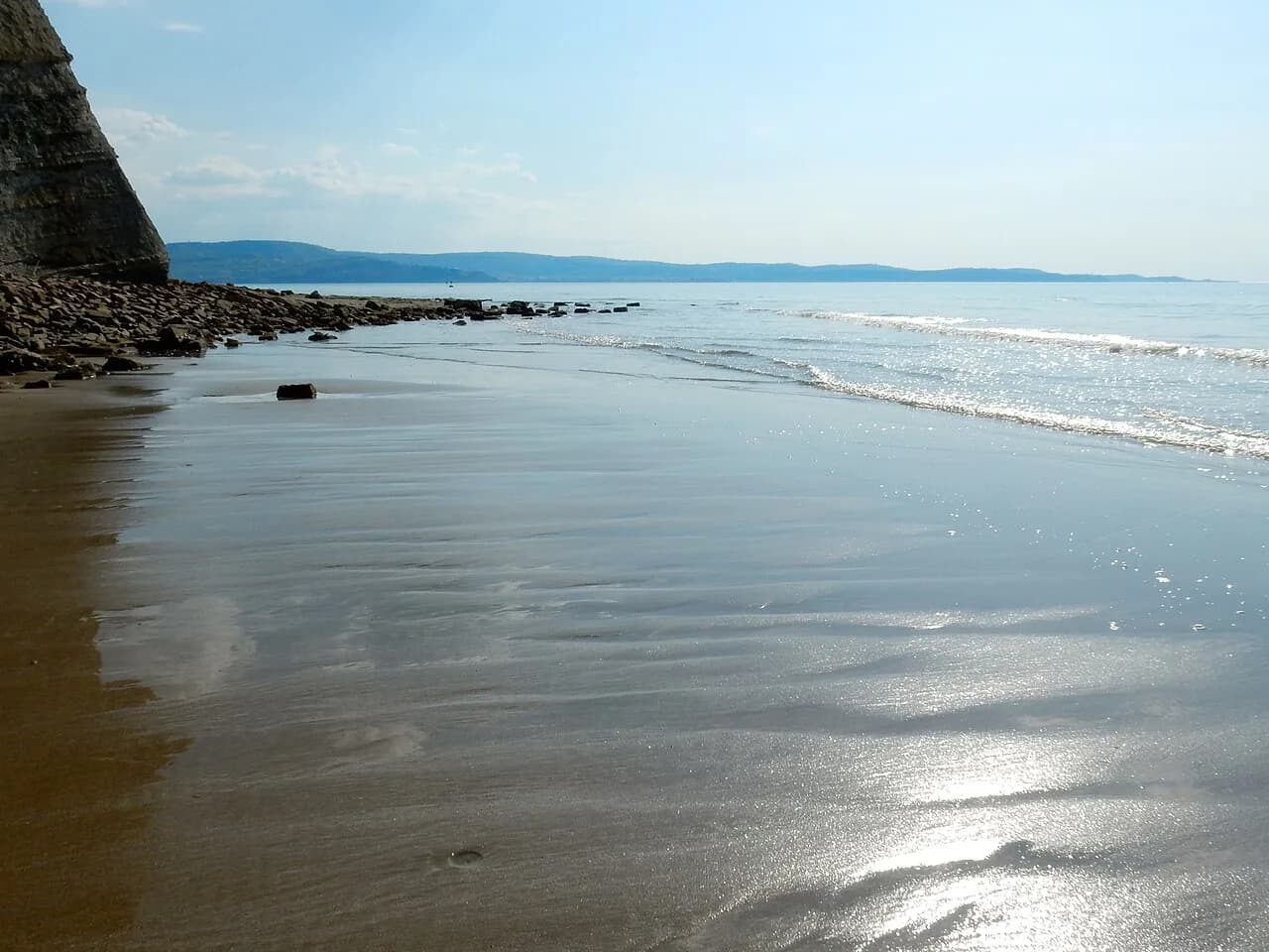
The most dramatic feature of the park is a flysch cliff face rising up to 80 meters above sea level, built from alternating layers of limestone and marl. Below the cliffs, a narrow pebble beach borders the lagoon, whose shallow water turns green in summer. The same layered rock explains the shore itself: sandstone debris smooths into round gravel under wave action, while marl breaks down into silty seabed.
For swimmers, the practical detail is that this is a pebble and rock shore rather than sand, so water shoes help. The park's marine section around the Strunjan Nature Reserve holds some of the greatest biodiversity in the Slovene sea alongside Cape Madona at the tip of the Piran peninsula. Keep that in mind when moving across the rocks and shallows.
Say yes or no to a swim early. The water is the main attraction for many visitors, but the beach is also the busiest part of the park, and walking the full loop afterward with wet gear is a nuisance. Swim first, then walk, or walk the coast section first and save the beach for the end.
Salt pans, the Stjuža lagoon and the birdlife
The salt pans at Strunjan are divided into geometric evaporation basins edged with low stone ridges, and they remain partially active, harvested using long-established methods. The surrounding reed beds form a buffer between the saltworks and the open sea. This is the working landscape part of the park, so walk on the marked paths rather than across the basins.
The sea lagoon Stjuža in Strunjan is home to more than 270 bird species, which makes it the strongest reason to carry binoculars on this walk. The route passes the lagoon and the salt flats early, so plan that section for a calm morning if birdlife is your priority.
If salt pans are the draw, Sečovlje Salina Nature Park further south along the Gulf of Piran is the bigger salt-making landscape and pairs naturally with a Piran day. Strunjan gives you the compact version on foot, without a separate excursion.
The hilltop church and monastery of the Apparition of Mary
Above the settlement, the parish church and the monastery of the Apparition of Mary sit on the hill and form the most important part of the Istrian pilgrimage connected to the story of the apparition of Mary. The climb is the one real ascent on the Strunjan walk, and it pays off with the view back over the bay and the salt flats.
Treat the church as a sight on the route rather than a separate outing, and time the climb so you are not descending in fading light. The path continues past Vida's grove and the Strunjan cross, which the route lists among its highlights alongside Moon Bay and the cliffs.
Moon Bay, the Valeta tunnel and the rest of the route
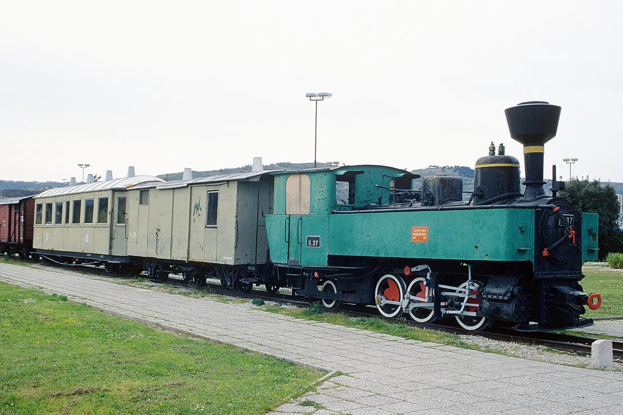
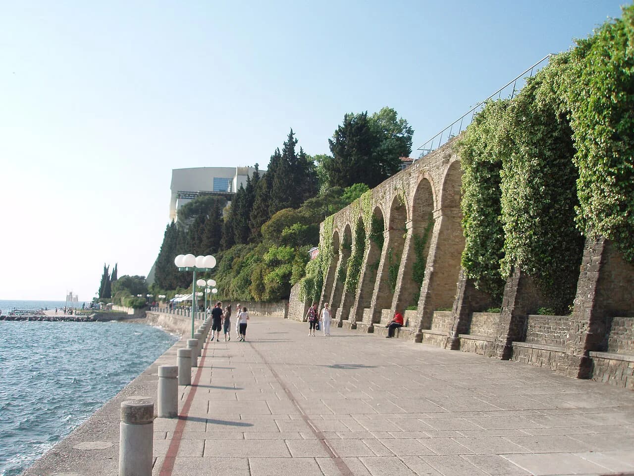
The circular route strings together Moon Bay, the cliffs, Talaso Strunjan beach, Portorož, the Valeta tunnel and the Fiesa lakes, where one is fresh water and the larger one receives salt water. The Valeta tunnel once carried the Parenzana narrow-gauge railway and is now used by hikers and cyclists. Walking back through it toward Strunjan is what closes the loop.
If the railway history interests you more than the coast section, the Parenzana route continues inland as a separate trail. Strunjan gives you a short, walkable taste of it rather than the full cross-border line.
The route also passes through the lively resort edge of Portorož, which is where the walk changes character from nature reserve to built-up coast. If you want a meal or a coffee with more choice than the beach bars in Strunjan, plan it for that stretch before turning back through the tunnel.
Getting there and where to start
Start at the large parking lot near the sea in Strunjan, between Talaso Strunjan and the beach. From there the marked path runs along the beach, across the salt flats and on toward Fiesa before turning over the hill to Portorož. Signposts by the lake point the way toward Portorož and then along the coast.
By car, follow the coastal road from Portorož toward Piran; a small car park sits at the park boundary. Local buses link Piran and Portorož year-round with stops near the park entrance, and the Koper–Piran cycling and walking path runs through the area. That gives you the option of arriving by bike or on foot instead of hunting for a space.
Two starting points serve the walk: the lot between Talaso Strunjan and the beach, and the smaller car park at the park boundary on the coastal road. The boundary car park adds a short walk to the trailhead, so factor that in when you choose where to park.
Where Strunjan fits on a coast itinerary
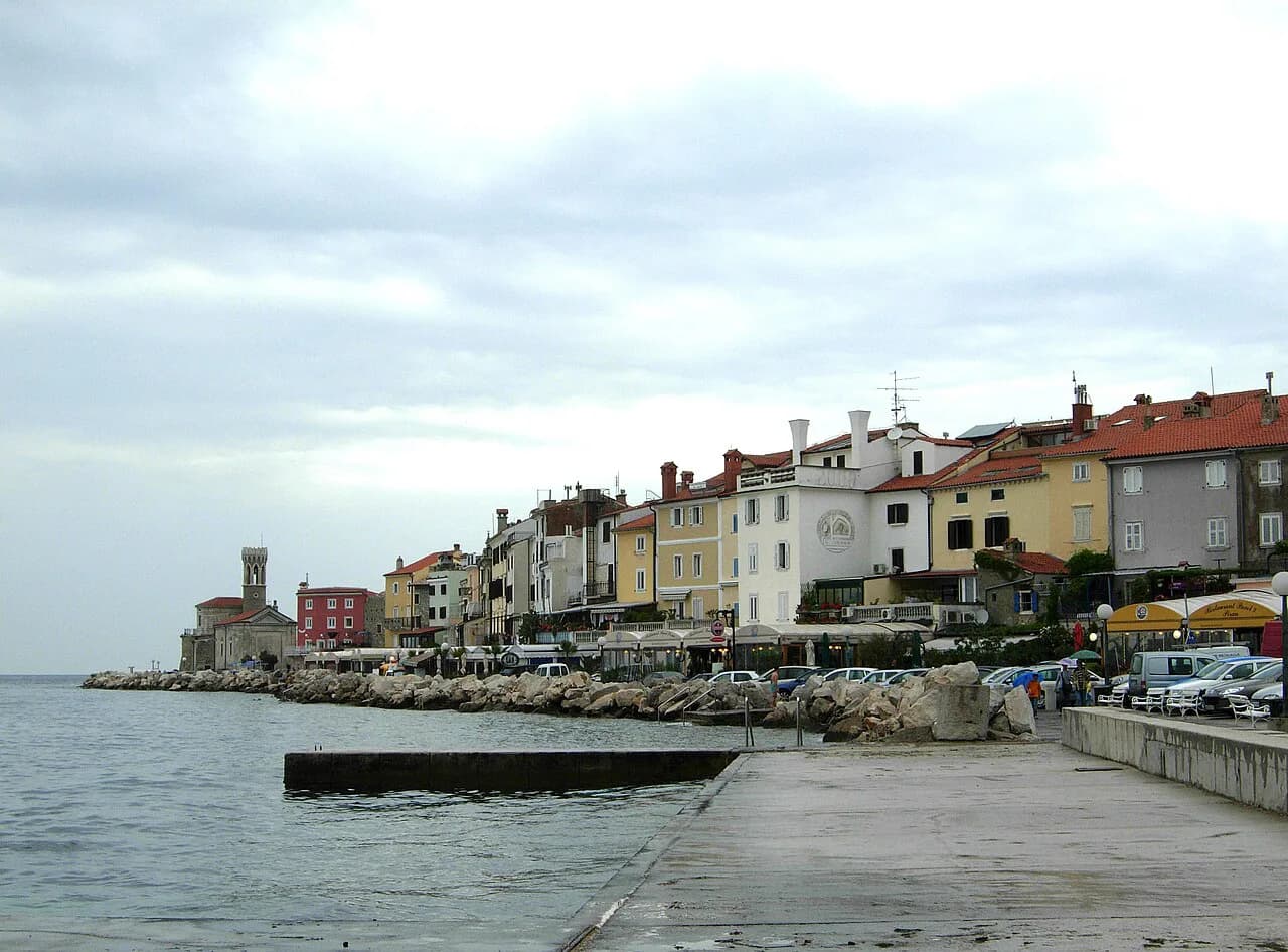
Build Strunjan into a day that also takes in Piran and Portorož rather than giving it a day of its own. Piran's Tartinijev Trg and the old town lanes work well in the morning, Strunjan on foot through the middle of the day, and Portorož for the evening. The three sit within a few kilometers of each other on the same stretch of coast.
If you are basing yourself further along the coast, Izola is a short drive away and makes a sensible lunch stop before or after the Strunjan walk. Use the coast map to judge the driving distances before committing to a sequence.
Travelers staying in Portorož have the easiest logistics, with the walk reachable on foot or by a short ride, and the resort's restaurants waiting at the end of the loop. Those based in Piran can do the same in reverse.
Half day or full loop at Strunjan?
Choose the full 12-kilometer loop if you have three hours of walking in you and want the cliffs, the salt flats, the tunnel and the Portorož stretch in one go. Choose the shorter version, beach plus salt flats plus the hilltop church, if you are fitting Strunjan between Piran and Izola. Either way, start at the parking lot between Talaso Strunjan and the beach and carry water for the exposed cliff section.
Explore more Slovenian Coast guides
Frequently Asked Questions
Can you swim at Strunjan?
The beach in the bay is the swimming stop on the Strunjan walk. It is a pebble and rock beach below the flysch cliffs, so bring water shoes.
How long does the Strunjan circular trail take?
The marked circular route is 12 kilometers and takes around three hours of walking. Add time for the beach, the climb to the church of the Apparition of Mary and any stop in Portorož, which easily turns it into a half day or more.
Sources
Notes for your Slovenia trip
Optional updates to our Slovenia place guides.
You might also like
Continue reading
More guides you'll find useful