Soča Valley Map: Towns, River Sections and How to Read It
A Soča Valley map guide to the towns from Bovec to Tolmin, the river's paddling sections and access points, and how the valley lines up for driving.
On this page
A Soča Valley map is really two maps, and reading them separately saves you a day of doubling back. The road map runs the valley as a line of towns, from Kranjska Gora and the Vršič Pass at the northern end down to Most na Soči in the south; the paddling map overlays numbered river sections and access points on the same stretch of water.
This guide keeps the two apart. You get the towns in down-valley order, the start of the river and how the upper stretch differs from the lower one, then the sections kayakers mark, the access points, the paddling rules and the gauge stations whose readings decide whether a plan holds.
What the map covers: the river from the Julian Alps to the Adriatic
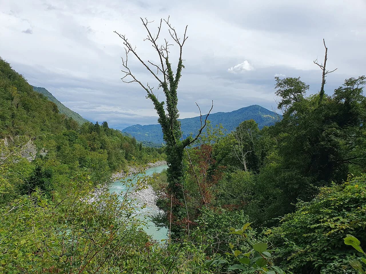
The Soča rises as a karst spring inside Triglav National Park in the Julian Alps and flows south past Bovec, Kobarid, Tolmin and Nova Gorica before crossing into Italy, where it is called the Isonzo, and reaching the Adriatic after 137 kilometers.
That geography tells you how to orient the map. The interesting part for most visitors is the upper river, a 57-kilometer stretch running from the source to where the Tolminka joins below Tolmin, about 41 percent of the river's total length; below that point the character changes, with at least five large dams, urban development and water withdrawals along the way.
So draw a single line from the source down to Tolmin and treat that as your planning zone. The lower river toward Nova Gorica is a through-route, not the part of the map you build a trip around.
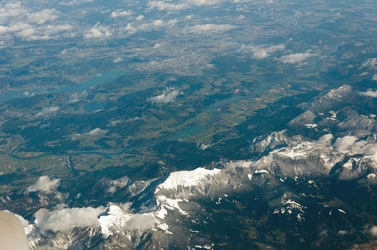
The valley in order: Kranjska Gora, Vršič, Bovec, Kobarid, Tolmin, Most na Soči
Driving the valley as a sequence rather than as a list of stops keeps the route linear. Coming from the north, the approach runs through Kranjska Gora and over the Vršič Pass into Trenta and Bovec; from the south, the road climbs from Nova Gorica and Kanal ob Soči through Tolmin to Kobarid.
Between those two ends the order is Bovec, Kobarid, Tolmin and Most na Soči, and each one anchors a different kind of stop. A useful pattern is to sleep in Bovec, work south through Kobarid and Tolmin, and finish at Most na Soči rather than backtracking to the north each evening.
The Vršič Pass road is the one segment where the map alone is not enough, since mountain pass conditions vary with the season and weather. Treat it as a route to confirm before committing rather than a line you can count on.
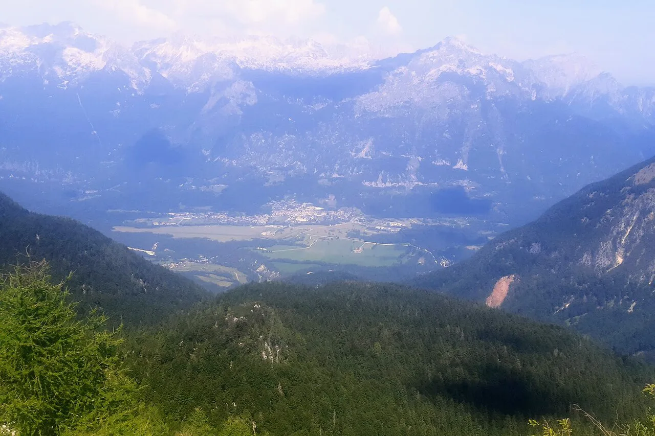
Marking the towns: Bovec, Kobarid, Tolmin
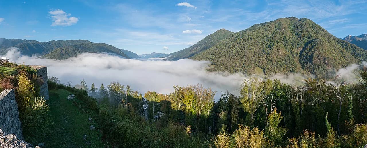
Bovec is the activity base on the map, the town closest to the upper river sections and the access points around Čezsoča. Pin it first if your trip is built around being on the water.
Expect company in midsummer: crowds build in Bovec and the surrounding area during the peak months, while spring stays quiet on the trails. That trade-off matters when you pick which town to use as a base.
Kobarid earns its pin for the Kobarid Museum, which covers the World War I fighting in the area, and for the single-arch Napoleon Bridge just outside the center. A 2023 travel post listed museum admission at 7 euros, so check the museum's own listing for what it charges now.
Tolmin is the southern town anchor and the gateway to the Tolmin Gorges, a short drive from the center, where a circuit walk of roughly 1.5 hours leads through the gorge.
River sections kayakers mark: Lepena and Čezsoča down to Kobarid
The paddling map divides the river into sectors graded with Roman numerals I to V, which is the key to reading difficulty at a glance. The most popular kayaking stretch runs from Lepena in the lower Trenta valley past Čezsoča near Bovec and down to Kobarid.
Within that run, the grades climb from easy G1 water to playful G5, so the map is not telling you one river is hard or easy, but that specific sections are. Match the numeral at your entry point and exit point before you commit.
Flat-water alternatives also sit on the same map. A recreational kayak trip on the lake at Most na Soči, paddling through the confluence of the Soča and Idrijca, suits a full day on calm water, and Predil Lake near Tarvisio offers clear, cold water in a glacial basin.
If your interest is the river rather than a paddle, the walking and viewing stops are covered in the Soča River guide, which keeps the boating detail out of the way.
Access points on the paddling map
The Soča has 15 access points, each named, and they are the practical markers you should put on your own map if you plan to be on the water. Prijon Sport Center sits beside the Čezsoča access point, and its entry list runs from Velika Korita and Bunkerji through Kršovec, Kluže, Zmuklica, Vodenca and Čezsoča to Boka, Srpenica 1 and 2, Trnovo 1 and 2, Otona, Napoleonov Most, Kamno, Volarje, Gabrje and Volčanski Most.
A print-friendly PDF of that map can be downloaded and saved to a phone, which is useful where you would rather not rely on a signal.
The Great Soča Gorge, Velika Korita, appears at the top of the access list and is worth a separate pin as a viewpoint.
Paddling rules the map should remind you of
Three rules shape any paddling plan and belong written on the map itself. The paddling season runs from March 15 to October 31, you may be on the river between 9am and 6pm, and a River Pass is required for access.
Build your day around the 9am start and the 6pm finish rather than around how long you think the section takes, because the window closes whether or not you are off the water. The River Pass is bought on the official site, so make that step part of planning, not a last-minute stop.
Water-level stations at Kršovec, Log and Kobarid
The gauge readings come from Slovenian national weather stations and update every 30 minutes, which is why they belong in your plan on the morning itself. The stations cover named sections: Kršovec for the Lepena to Čezsoča stretch, Log for Čezsoča to Srpenica 1, and Kobarid for Srpenica 1 to Trnovo and Otona to Kobarid.
Each station pairs a level in centimeters and a flow in cubic meters per second with a band. For Kobarid, flow below 11 cubic meters per second reads as low, 11 to 40 as normal, 40 to 80 as high and above 80 as danger; Log sets its low band under 9 cubic meters per second, normal from 9 to 40 and high from 40 to 80, with danger above 80.
This matters because a suitable reading at one station says nothing about the next stretch. Check the band for the section you actually intend to paddle, and read temperature as a current reading too, not a forecast.
Getting oriented from outside the valley
Approaching from the south, the route through the Vipava Valley and on past Nova Gorica to Kanal ob Soči keeps you on a scenic riverside road rather than the fastest line a navigation app suggests. From Kanal ob Soči the road runs north to Tolmin and on to Kobarid.
A general location map of the valley is also worth having on hand before you commit to an approach road.
Which order should your Soča Valley route run?
Pick one direction and keep it: north to south from Kranjska Gora and the Vršič Pass through Trenta, Bovec, Kobarid and Tolmin to Most na Soči, or the reverse from Nova Gorica. Sleeping in Bovec and working south is the cleanest single-base version.
Then add the river layer: choose your section by grade, note the access point above and below it, confirm the gauge band at that station on the day, and buy the River Pass before the 9am window opens.
Explore more Soča Valley guides
Frequently Asked Questions
How do I get from Ljubljana to the Soča Valley?
Route the drive through Nova Gorica and Kanal ob Soči from the south, or through Kranjska Gora and the Vršič Pass from the north, and confirm the pass road's status before you set out, since mountain conditions change. Bus operators publish their own timetables, so check those directly for current services.
How much time do I need in the Soča Valley?
You can drive the valley in a day with photo stops, but a week lets you add paddling, gorge walks and museum time without rushing. Base yourself in Bovec if the upper river is the priority and work south from there rather than returning north each night.
Where do I check river conditions before paddling?
The Prijon Sport Center page publishes gauge readings for Kršovec, Log and Kobarid from national weather stations, refreshed every 30 minutes, with low, normal, high and danger bands for each. Read the station for your own section, since thresholds differ between them.
Sources
Notes for your Slovenia trip
Optional updates to our Slovenia place guides.
You might also like
Continue reading
More guides you'll find useful