Great Soča Gorge (Velika Korita): Where to Stop and What You See
The Great Soča Gorge is a 750-meter canyon near Bovec where the emerald Soča runs through narrow rock walls. Here is where to stop, walk, and park.
On this page
The Great Soča Gorge, called Velika korita in Slovene, is a 750-meter canyon near Bovec where the Soča River flows between rock walls that narrow to a few meters in places and reach more than 15 meters deep. Plan it as a 20- to 40-minute roadside stop, not a hike: you park, look from a small suspension bridge, and decide on the spot whether the steep path down to the water is for you. This guide covers where the official stop sits on road 206, what the two viewing levels show you, why the water stays cold even in summer, and which nearby stops fit the same day.
What the Great Soča Gorge actually is
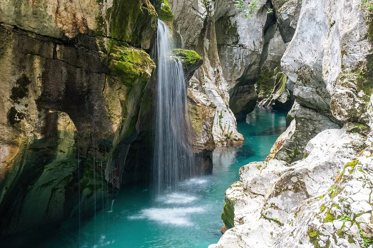
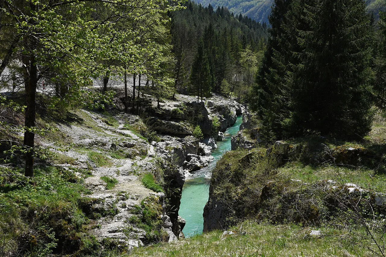
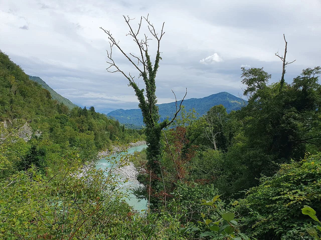
Velika korita is a gorge rather than a waterfall or a pool. The Soča River runs through a channel roughly 750 meters long, pinched to a few meters in width at points and more than 15 meters deep, with the forested slopes of the Julian Alps above it. The walls and the emerald water are the whole attraction, which is why the stop rewards a slow look rather than a quick photo and go.
The gorge sits inside Triglav National Park, the national park that covers this corner of the Julian Alps above the Soča. Treat the rocks, the banks and the bridges as park terrain: nothing here is set up as a swimming facility or a paved promenade.
Where Velika korita sits in the Soča Valley
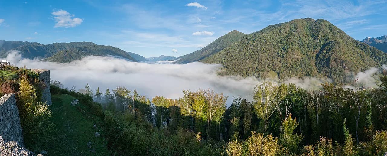
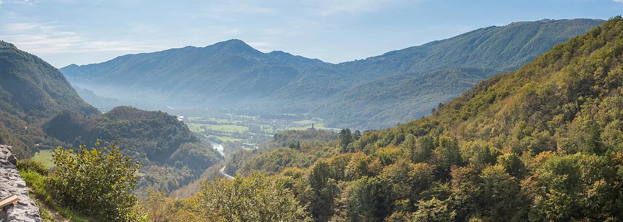
The gorge lies about 10 kilometers from Bovec, the main town of the upper Soča Valley and the usual base for this stretch of river. The drive follows road 206 east along the water, with signs pointing toward the Lepena Valley as you approach. If you are working out how the valley fits together, our Soča Valley Guide covers Bovec, Kobarid and Tolmin in the same geography.
Roadside pull-offs are small and scattered along the river, so you may pass the best-known stop before you realize it. The signed parking area for the gorge is easy to miss if you are watching traffic instead of the verge, and there is no large visitor complex to announce it. Drive slowly on this stretch and expect to turn around once.
The Lepena Valley branches off nearby and is worth knowing as a separate side trip rather than a substitute stop. If you want to add it, our Lepena Valley guide covers that detour and how it relates to the main river road.
Driving in from Bovec or down from Vršič Pass
From Bovec, take road 206 along the Soča and watch for the Lepena Valley signs as a marker that you are close. From the north, drivers come down from Vršič Pass, a high mountain road that delivers you into the upper valley before you reach Bovec. That pass road is exposed to weather and can be affected by season and conditions, so build slack into the day if you are crossing it.
Traffic on road 206 picks up in summer, when the same stretch carries rafters, kayakers and day-trippers between Bovec and the smaller camps. Arriving earlier in the morning gives you a better chance at one of the small roadside spaces and a quieter view from the bridge. Our Soča valley map lays out the road, the camps and the side valleys so you can see the sequence before you drive it.
The official stop about 500 meters before Kamp Soča
The recognized viewpoint is about 500 meters before Kamp Soča, marked by a large information board that signals the starting point. Park there rather than at the camp, and walk to the small suspension bridge next to the parking area. The first view comes from that bridge, looking down into the channel in both directions.
This bridge view is the one most visitors get, and reaching it is simply a short walk from the car. It shows the color of the water, the width of the channel and the depth of the cut in one glance, which is enough for many people. Decide from there whether you want a closer look at the rocks below.
Getting closer on foot to the troughs
A short footpath leads down from the bridge area toward the water, and it is rough: expect rocks, tree roots and a bit of clambering rather than a graded trail. Wear sturdy shoes and skip sandals or smooth soles. The descent is the optional part of the visit, and turning back at the bridge is a reasonable choice.
At the bottom, the reward is a rock-level view of the emerald channel running between the walls. The path is short but not signposted in detail, so follow the obvious route down, keep children close near the edge, and do not improvise new lines along the bank. One more thing to plan around: the water is glacial melt and stays cold even on hot summer days, so this is a place to look at, not to wade into.
Crossing the suspension bridges for the far side
Several suspension bridges cross the Soča in this stretch, and crossing one lets you see the opposite wall of the channel rather than just the near bank. The short cables and the movement underfoot are part of the experience, so cross one at a time and keep your hands free. Photographers get a different composition from the far side, with the river bending away below.
The Soča Trail, a long-distance route tied to the Alpe Adria Trail, passes the gorge, which is why you will see walkers with packs on the same paths. If you are driving, give them room at the parking areas and on the bridge approaches. Our Soča River guide covers the river's course through the valley if you want the wider picture of what you are looking at.
The water: cold, low in summer, and paddled by kayakers
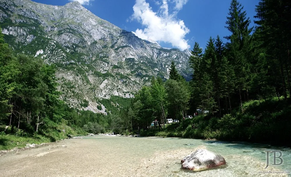
The Soča here is clear and green because the gorge sits close to the river's source, and the meltwater keeps it cold through the warm months. In summer the flow often runs lower, which exposes more rock and changes the look of the channel from week to week. Kayakers and canoeists paddle this water, so watch for boats if you are near the bank.
Swimming is not the plan here, despite how inviting the color looks on a hot afternoon. The cold alone makes a dip unpleasant, and the current and rocks add risk. Sit on a rock, take your photos, and leave the water to the paddlers.
Pairing the gorge with the Soča source and Boka waterfall
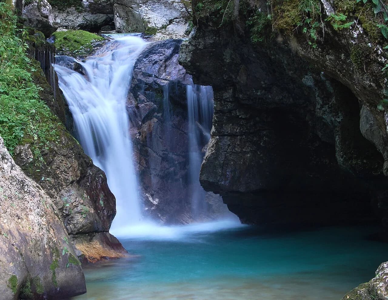
Velika korita works best as one stop in a short chain along the upper valley. The source of the Soča, Izvir Soče, sits near the point where drivers come down from Vršič Pass, and Boka waterfall is another roadside sight in the same stretch. Two or three of these in a day is realistic if you are driving; all of them plus a long hike is not.
If you continue north or east, Trenta is the next village up the valley and a natural pause before the road climbs. Our Trenta, Slovenia guide covers what the village offers and how it sits relative to the gorge.
Parking, access and safety on the day
Parking is limited to small roadside areas, and there is no large lot to absorb a busy summer afternoon. Arrive early, take a marked space rather than a grassy verge, and be ready to move on if the pull-off is full. Rules and capacity can change with the season, so read the signs on site when you arrive.
Near the water, the hazards are the ones you would expect in a mountain gorge: slick rock, a current that looks gentler than it is, and edges without railings. Keep children within arm's reach on the descent, and do not cross the river except on the bridges. The stop is short enough that you can leave the heavy gear in the car.
How much time to allow
Budget 20 to 40 minutes for the bridge view and, if you take the path, the descent and climb back. That makes Velika korita an easy addition to a driving day between Bovec and the Lepena turn rather than a destination on its own. If you are already walking the Soča Trail, you will pass it without needing a separate plan.
A day that covers the source of the Soča, the gorge and Boka waterfall is comfortable by car, and it leaves the afternoon free for the valley's towns. Kobarid and Tolmin lie downstream and are covered in our Soča Valley Guide if you want to extend the loop.
Is the Gorge Worth the Roadside Stop?
Yes, if you are already driving road 206 between Bovec and the Lepena Valley turn. The bridge view alone justifies the stop, and the short path down to the rocks adds a closer look for anyone with sturdy shoes and a steady step. Skip the descent in wet weather or with tired legs; the gorge still reads clearly from above.
Pair it with Izvir Soče and Boka waterfall for a half day of short stops, park in a marked space, and leave the swimming to the kayakers. For the rest of the valley's layout, start with the Soča Valley Guide.
Frequently Asked Questions
Where do I park for the Great Soča Gorge?
Use the small roadside parking area at the signed stop about 500 meters before Kamp Soča, marked by a large information board. The spaces are limited and fill in summer, and there is no large lot, so arrive earlier in the day and take a marked space rather than a verge.
Can I see Velika korita without hiking?
Yes. The small suspension bridge next to the parking area gives a clear view down into the channel. The path down to the rock level is optional and rough underfoot, with rocks and tree roots, so it is not required to see the gorge.
Sources
Notes for your Slovenia trip
Optional updates to our Slovenia place guides.
You might also like
Continue reading
More guides you'll find useful