Soča River: Where to See the Emerald Water and How to Plan Around It
The Soča River runs through the Soča Valley past Bovec, Kobarid and Tolmin. Here is where to see the emerald water, how to reach it, and what to know.
On this page
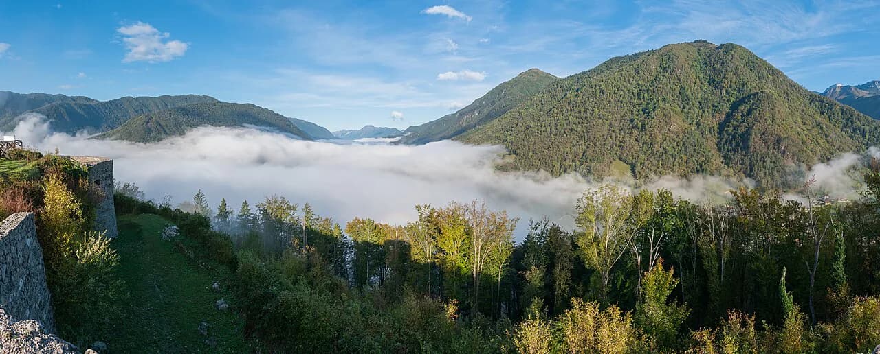
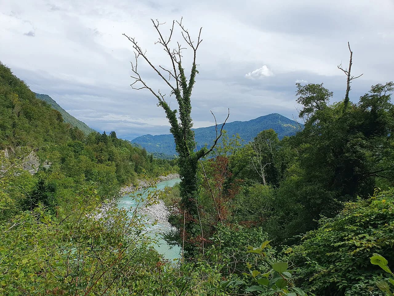
The Soča River is the emerald-green alpine river that gives the Soča Valley its shape, flowing some 138 kilometers through western Slovenia and into north-eastern Italy, where it is called the Isonzo. For a visitor it is not one sight but a chain of stops along a riverside road: the gorges near Bovec, the bridges at Kobarid, and the towns of Tolmin and Kanal ob Soči. This guide covers where the clearest water is, how the valley towns are laid out, the cold-water trade-off, paddling access points, and how to structure one day or several.
What the Soča River is and where it flows
The Soča rises in the Julian Alps in the Trenta Valley and flows south-east through Slovenia before entering north-eastern Italy, where it becomes the Isonzo. Slovenia's official tourism site lists the Soča Valley among the country's top sights and an alpine outdoor destination. Think of the valley as a north-to-south string of towns and river sections rather than a single viewpoint.
Think Slovenia says the river is home to the marble trout, which it describes as unique to the Soča, and notes that the trout are endangered after the introduction of non-indigenous species. The same site markets the river as the 'Emerald Beauty.' For visitors that is context rather than a reason to handle or fish the river yourself.
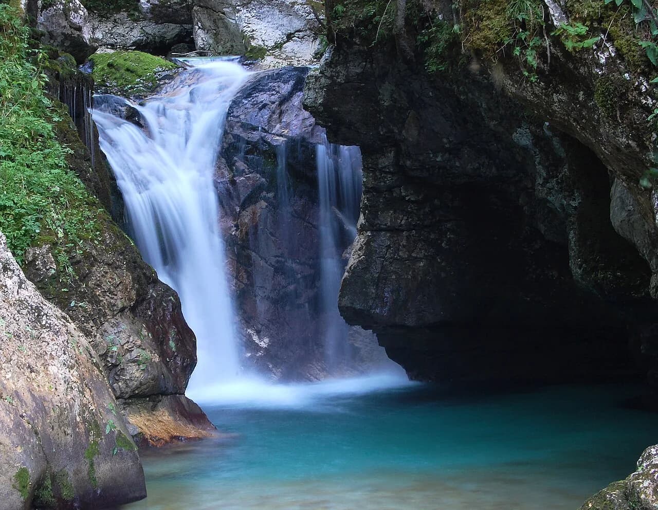
Think Slovenia calls the Soča the 'Emerald Beauty' and says it is one of the rare rivers that keeps its striking color along its whole length, so photographs from different stretches can look different.
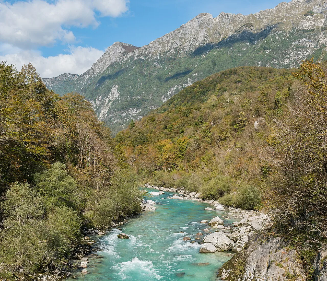
Where to see the emerald water: Velika korita, Kršovec and the Napoleon Bridge
The most concentrated stretch of named river stops is between Bovec and the villages of Čezsoča and Srpenica. Velika korita, the Great Soča Gorge, sits in this section, and the operator's access-point map places Velika Korita, Bunkerji, Kršovec, Čezsoča and Srpenica 1 within a short drive of one another. That makes it possible to see several river landscapes in a single morning without long transfers.
At Kobarid, the Napoleon Bridge (Napoleonov Most) is a landmark, with the single-arch stone bridge crossing the Soča just outside the center; the Prijon access-point list also names Napoleonov Most as a river entry point. Further south, the stone bridge and church tower at Kanal ob Soči make a photogenic pause on the drive.
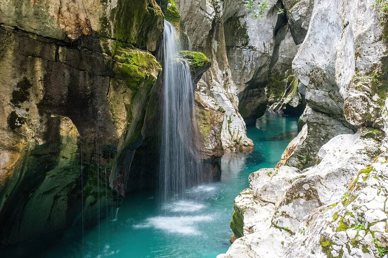
If you want one short, high-reward stop, make it the Great Soča Gorge (Velika Korita), where the river runs through a narrow gorge; it is a viewing stop, not a full-day destination. Treat the surrounding road and pull-offs as working countryside and leave room for local traffic.
Bovec, Kobarid and Tolmin: how the valley is laid out and where to base a day
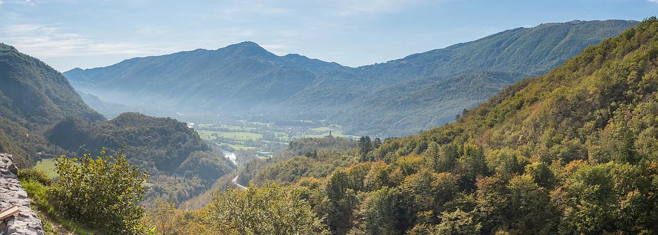
The valley runs roughly south to north, with Kanal ob Soči at the southern end, then Tolmin, Kobarid and Bovec at the top. A south-to-north drive brings you to Kanal ob Soči first, then Tolmin, Kobarid and finally Bovec. That order matters because the most dramatic water is at the northern end, so a one-day visitor should drive straight to Bovec before working back south.
Bovec is the activity hub, with rafting, kayaking and canyoning operators based around the town and the Čezsoča road. Kobarid is a compact base, and its local museum covers the valley's World War I history. Tolmin is a practical supply stop with a supermarket, which the Sommertage blog notes, rather than a scenic highlight.
For a single night, Kobarid puts you mid-valley; for two or three nights, Bovec puts you closest to the upper-valley gorges and the road toward Vršič Pass. The Sommertage blog reports that Bovec and the surrounding area become crowded during peak months, so choose between easier access to the upper water and a busier town.
Should you swim in the Soča River? Water temperature and the cold-water trade-off
The Soča is an alpine river, and the operator's live station readings give a sense of how cold it runs: at Kršovec the page has shown around 8.4 °C, at Log around 8.6 °C and at Kobarid around 8.5 °C. These are live readings rather than seasonal averages, but they illustrate why many visitors find the water bracing even in high summer.
The Sommertage blog notes that summer is when swimming becomes feasible for most people, while spring and autumn water is too cold. That is a fair guide to expectations, but it does not tell you which banks are safe or legal to enter. Ask at a local tourist information center or with a rafting operator about current conditions before you commit.
Treat cold water and moving current as the main hazards. Keep children close, stay out of the narrowest gorge sections, and ask a local operator before entering the river anywhere that is not obviously a beach or established access point.
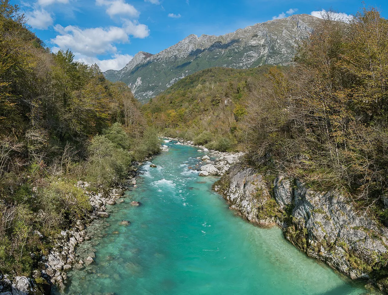
Rafting and kayaking on the Soča: access points, the River Pass and the paddling season
Paddlers need to know two things before booking: the river is divided into graded sections, and access is managed. The Prijon Sport Center page states that the paddling season runs from March 15 to October 31, that river use is allowed between 9am and 6pm, and that a River Pass is required to be on the water. Those are the operator's stated rules, so confirm them with your own outfitter when you book, but plan your day around the 9am–6pm window.
Prijon lists 15 access points on the river, including Čezsoča, Kršovec, Srpenica 1, Trnovo 1, Otona and Napoleonov Most. Čezsoča is the access point beside the Prijon center, which makes it a logical entry for a first rafting or kayaking trip. Sections are graded I to V, so beginners should stay on the lower grades and go with a guide.
Kayak Soča runs kayak courses and guided adventures from the valley, with prices listed on its site. Contact the operator directly to confirm current pricing, equipment and any shuttle.
Driving the valley: the riverside road, Kanal ob Soči and the Vršič Pass side trip
The main valley road follows the river closely from Most na Soči north through Tolmin, Kobarid and Bovec. It is a two-lane road with tight bends, so allow more time than the distance suggests. The Sommertage blog describes a scenic drive along the riverside and warns that the curving road demands attention.
If you are coming from Nova Gorica, the drive follows the river north through the valley. From Bovec, the Vršič Pass road climbs north toward Kranjska Gora; check current conditions locally before setting out. To sort out these stops in advance, use the Soča Valley map.
A simple approach is to mark your stops on the map before you drive, then group them by section so you are not backtracking. Fuel up in Tolmin or Bovec, since services thin out on the upper roads.
How long the Soča Valley needs and what to cut if you have one day
The Sommertage blog suggests you can drive through the valley in a day with stops, but that a week lets you hike and pursue outdoor activities properly. For most visitors, two full days is the realistic minimum for the upper valley plus Kobarid, and three days if you want a paddling trip and a pass drive. A single day should focus on the Bovec-to-Kobarid stretch.
With one day, cut Tolmin and Kanal ob Soči and skip any long hike. Drive to Bovec, see Velika korita, stop at Čezsoča and the Napoleon Bridge, and finish in Kobarid. That gives you the emerald water, the bridges and the town without spending the day in the car.
With two days, add the southern stops and a half-day on the river with a licensed operator. With three, you can include a pass drive or a quieter day in the Lepena Valley, which branches off the upper Soča and feels removed from the main-road traffic.
Is the Soča River worth building a day around?
Yes, if you treat it as a driving chain of stops and give the upper valley at least a morning. The strongest combination is Velika korita, Čezsoča and the Napoleon Bridge, with Kobarid as a base or lunch stop. The main trade-off is time in the car versus time at the water, so pick two or three stops and resist adding more.
Book paddling directly with the operator, confirm the River Pass and river hours when you reserve, and check water levels and weather the day before. For the wider trip, use the Soča Valley Guide to connect the river to the towns and side valleys around it.
Frequently Asked Questions
How do you pronounce Soča?
Say it approximately as SOH-cha, with a soft ch as in church. The č is a separate letter in Slovenian, which is why it is often written Soča rather than Soca.
Why is the Soča River called the Emerald Beauty?
Think Slovenia markets the Soča as the 'Emerald Beauty' and says it keeps its striking color along its length; the exact shade shifts with light, depth and river level, so the upper stretches and lower ones can look different.
Where can I go kayaking on the Soča River?
Prijon lists access points between Bovec and Kobarid, including Čezsoča, Kršovec, Srpenica and Trnovo. Book with a licensed operator such as Kayak Soča or Prijon Sport Center, and confirm the River Pass requirement and the 9am to 6pm river window when you reserve.
Sources
Notes for your Slovenia trip
Optional updates to our Slovenia place guides.
You might also like
Continue reading
More guides you'll find useful