
Tromeja from Kranjska Gora: How to Reach the Slovenia–Italy–Austria Summit

Tromeja is the point where Slovenia, Italy and Austria meet, and it is reached on foot or by mountain bike from the villages and passes just west of Kranjska Gora. Plan on roughly two hours up from Rateče on the published route, longer from the Fusine Lakes, and treat the mountain-bike circuit as a hard half day rather than a casual spin. This guide covers where the summit sits, the four practical starting points, what stands at the top, and how to combine the trip with the nearby lakes and valleys.
What Tromeja is and where it sits
The summit is called Peč in Slovenian, with Tromeja used for the same point; Italian maps label it Monte Forno and German-speaking visitors know it as Dreiländereck or Ofen. It stands 1,508 meters high in the Karavanks, the ridge that runs between Slovenia and Austria north of Kranjska Gora. Because three countries meet at the top, paths arrive from the Slovenian, Italian and Austrian sides.
On the ground, Tromeja sits above Rateče and the Korensko sedlo road that carries traffic toward Austria. The most straightforward approach is to drive or ride the few kilometers from Kranjska Gora west through Podkoren to Rateče and start walking from the village; from there the road continues toward the border and the Fusine Lakes. Slovenian paths reach the top without requiring a detour into Austria or Italy, which keeps the logistics simple.
Getting to the trailheads from Kranjska Gora
For the Rateče start, drive or ride west on the main road from Kranjska Gora through Podkoren and on to Rateče, the last village before the Italian and Austrian borders. From Rateče there is a short climb by car to Korensko sedlo, the pass on the Austrian border, which gives a second and slightly higher starting point. Both trailheads sit within a few minutes of each other by road.
Cyclists can use the Jure Robič D-2 bike route, which runs from Jesenice to the Italian border crossing and passes through this corner of the valley. Riders coming from Kranjska Gora follow it west toward Rateče before turning onto the mountain roads and tracks that lead up the valleys toward Tromeja. The surface on the climb mixes asphalt with forest and mountain track, so a mountain bike is the sensible machine rather than a road bike.
If you are basing yourself in Kranjska Gora, the official destination site lists a cycling trail to Tromeja among its routes, described as a ride from Kranjska Gora through Rateče to the summit where views of three lands meet. That entry is the place to confirm the route before you set out, since waymarking on the ground changes with forestry work and snow.

Walking up from Rateče
From Rateče, the marked path to the summit is published at 1 hour 40 minutes, and there is a road variant listed at 2 hours. Other marked variants from the same village, passing a bivouac shelter, are listed at 1 hour 45 minutes and 1 hour 50 minutes. These are route times from a mountain database rather than guarantees, so add time for stops and for the conditions on the day.
An alternative leaves the paved road and follows marked trail 18 alongside the stream, which makes for a gentler ascent than the road walk. The route switches between forest paths and more developed tracks, often running beside the creek, and the turnoff for trail 18 is easy to miss on the way up. Watch for the sign at the meadow and follow it across the field to pick up the trail.
Parking in Rateče is limited, and the handful of public spaces at the bus stop fill quickly even on a quiet morning. The practical fix is to arrive early, or to leave the car in Kranjska Gora and cover the approach by bike or on foot. The route from the village is waymarked but offers several options to the same summit, so a map helps at the junctions.
Walking up from Korensko sedlo
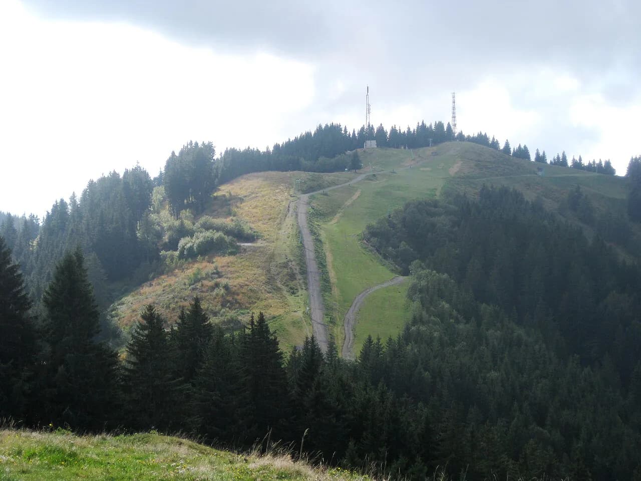
Starting at Korensko sedlo adds height before you begin, and the marked route from the pass to the summit is published at 2 hours. The pass is reached by turning off the main road and climbing roughly three kilometers from the Podkoren side, and from the top the FIS piste at Podkoren lies across the valley. This start suits anyone who wants a shorter climb and does not mind beginning on the Austrian border.
A forest road branches off about a kilometer below the pass and runs roughly nine kilometers toward Tromeja, climbing around 650 meters in total. Under the summit the track comes close to the ski slope; riders with a capable mountain bike can push up the piste itself, and everyone else follows the road to the top. Allow more than the map time if you are walking this way rather than riding.
Approaching from the Fusine Lakes in Italy
The Italian trailhead at the Belopeška jezera, or Laghi di Fusine, sits below the Mangart and offers a third way up. The published walking time from the lakes to the summit is 2 hours 15 minutes on a marked route. This is the longest of the standard approaches, but it puts the two Fusine lakes at the start or end of the day.
The lakes come with their own rewards: green-blue water, reflections of the peaks above, and a setting used as a base for serious alpine routes on the Mangart. They are also known as Mangart Lakes or Fužine Lakes, so signposts may use any of these names. If you start here, budget for the border crossing and for a longer day overall.
What stands at the summit
The summit carries a group of memorial plaques in three languages marking where the borders meet. On the Slovenian side, the entry box and stamp sit beside a small hut belonging to the nearby transmitters. On the Italian side there is a larger wooden shelter, and on the Austrian side a lift from the Arnoldstein ski area runs almost to the top.
Views from the top reach the Julian Alps and the Karawanks, the Gailtal Alps, and the High and Low Tauern, plus part of the western Karawanks ridge. Because the summit is a genuine tripoint, you can look down into three countries at once. Stone boundary markers line the last stretch of the Slovenian path where it runs along the Italian border.
How much time the summit needs
The published route times put the walk from Rateče at under two hours each way and the walk from Korensko sedlo at two hours, so a half day covers the climb, time at the top and the descent. The Fusine Lakes approach needs a longer day because the published time is over two hours just to reach the summit. Add time for the border crossings if you are combining countries in one outing.
Riding the mountain-bike loop
The classic circuit from Kranjska Gora runs out via Rateče and the Fusine Lakes, climbs to Tromeja and returns through Rateče. As ridden in 2020, the loop measured 49 kilometers with 880 meters of climbing, a 14 percent maximum gradient and a mixed surface of asphalt and forest track, rated 3 out of 5 for difficulty and taking about two and a half hours riding time. Treat those numbers as a description of one ride rather than current conditions.
The longest single climb runs around eleven kilometers, and the steepest final kilometer is the part that catches people out. If you would rather shorten the day, the Fusine Lakes section can be cut and ridden as a separate outing, with the Tromeja ascent kept as the main objective. A separate GPS trace of the Kranjska–Fusine–Tromeja loop records it as a mountain-bike trail from Podkoren, useful if you want a track to follow on the ground.
Coming down and back to Kranjska Gora
The descent from the summit toward Rateče runs about 7.5 kilometers, with open views back toward Kranjska Gora and across to the Planica valley. In Rateče you rejoin the asphalt road and pick up the bike route you came in on for the return to town. Walkers take the marked paths down the same way they came up, or drop to the pass and follow the road.
Combining Tromeja with nearby sights
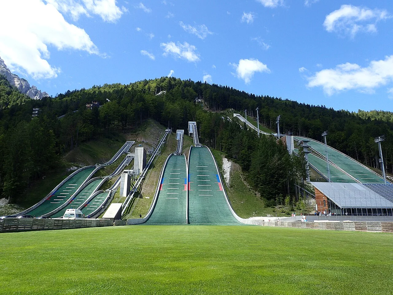
The Belopeška, or Fusine, Lakes are the obvious add-on if you start from the Italian side, and the ride out from Rateče passes close to them. On the Slovenian side, the Zelenci nature reserve at the source of the Sava Dolinka lies along the valley road between Kranjska Gora and Rateče, and the Planica valley with its Tamar branch lies a short drive back east beyond Kranjska Gora.
Lake Jasna sits at the edge of Kranjska Gora itself, which makes it an easy stop before or after a morning on the mountain. If you have a full day, the resort lists a range of other activities, from a panoramic chairlift ride on Vitranc 2 to the Planica ice rink and a family of cycling routes. Check the operation status of lifts and facilities before you build a day around them.
Which trailhead fits your day
Choose Rateče if you want the shortest published approach and are coming by car or bike from Kranjska Gora, and choose Korensko sedlo if you want to shave height off the climb. Take the Fusine Lakes start only if you have a full day and want the lakes included, and treat the mountain-bike loop as a serious half day.