Kranjska Gora Cycling: Routes, Bike Park and What Each Ride Needs
Plan cycling in Kranjska Gora: the five Karavanke loops with distances and climbs, the bike park and chairlift, rental, and how long each ride takes.
On this page
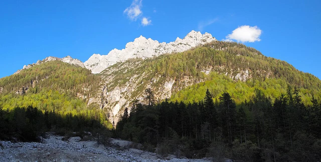
Kranjska Gora cycling works off five marked Karavanke loops, all starting in front of the Tourist Information Centre, with distances from 14.7 to 33.5 km and climbs from 148 to 856 meters. That spread means you can pick a ride by effort rather than by name, and everything begins from the same compact village center. This guide covers each loop, the separate downhill bike park, rental basics and how to fit a ride into your day.
The village sits in the Upper Sava Valley, with Podkoren and Rateče as the two anchor villages most rides pass through. Almost every loop heads out toward Korensko sedlo or Planica before returning on the valley floor. When the riding is done, the town's food scene is covered in the Kranjska Gora Restaurants guide.
How Kranjska Gora cycling is laid out
The Tourist Information Centre is the practical hub: all five Karavanke loops begin on the road in front of it. From there you pass the ski resort and head toward Podkoren, crossing the main Kranjska Gora–Rateče road before climbing. That layout keeps the start simple, but it also means you share the first kilometer with traffic.
The Karavanke Cycling Loops run across the wider area of Jezersko, Jesenice, Kranjska Gora, Kranj, Preddvor, Tržič and Žirovnica, but five of them are based in the Kranjska Gora area itself. Treat the village as your base and you can ride a different loop each morning without moving the car.
The five Karavanke loops by distance and climb
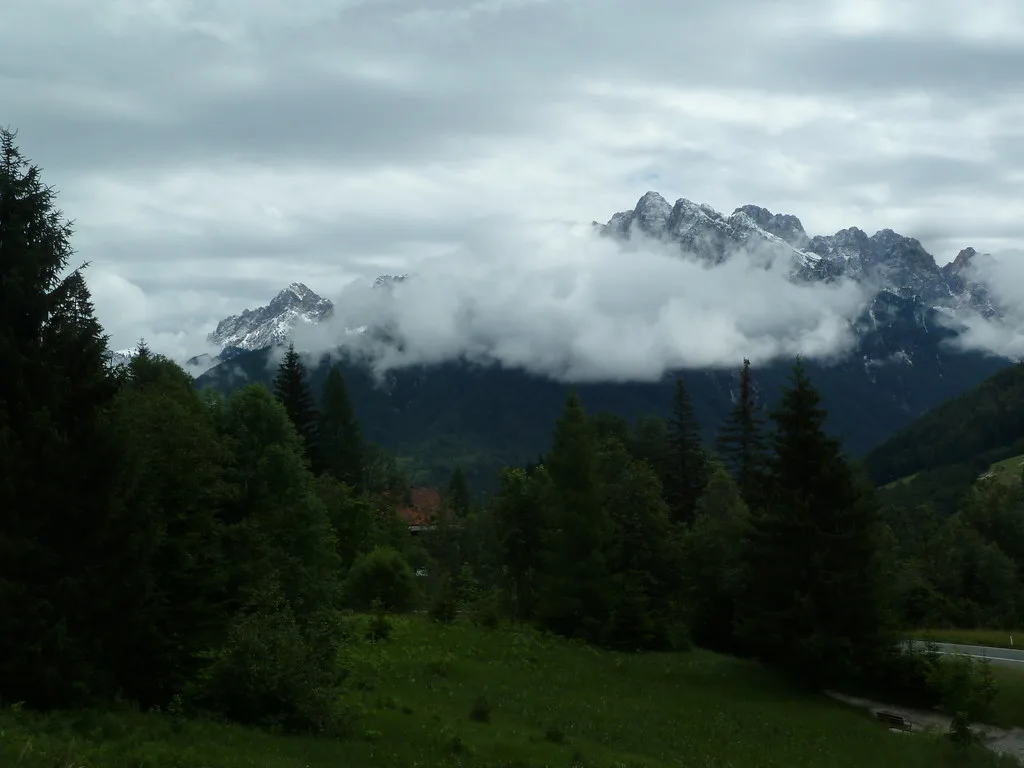
The figures are listed loop by loop, which makes it easy to sort them by ambition. Loop 1 to Tromeja runs 26.7 km with 713 m of climbing; loop 2 to Blekova planina runs 32.3 km with 856 m; loop 3 to Srednji Vrh runs 33.5 km with 395 m; loop 4 to Planica runs 14.7 km with 148 m; and loop 5 to Krnica runs 15.1 km with 352 m.
Loop 3 is the longest in distance but the gentlest in gradient, while loop 2 is shorter yet carries the biggest climb. If you want a short morning, loops 4 and 5 finish well before lunch. The full route descriptions and signpost numbers are published by the destination's tourism office.
Loop 1 to Tromeja: Podkoren, Korensko sedlo and the three-nations point
Loop 1 leaves the Tourist Information Centre, passes the ski slopes that host the men's slalom and giant slalom World Cup races, and crosses the main road into Podkoren. On the eastern side of that village you join the road to Korensko sedlo. About a kilometer and a half up, a left turn onto a dirt track marks the start of the Tromeja climb.
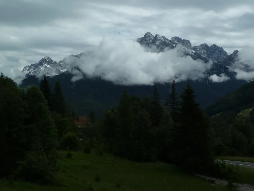
The climb wraps around the slopes of Kališje, with a sharp right at the crossroads and another 2.6 km of steeper climbing to the three-nations point where three countries and four languages meet. The viewpoint there looks over the Julian Alps and the Zilje valley toward Dobrač. Riders with the technical confidence can descend on the yellow-marked footpath; otherwise you return by road to Rateče and follow the cycle path through Ledine back to Kranjska Gora. Contrast this ride with Vršič Pass if you want to see how the alpine road riding compares.
Loop 2 to Blekova planina: the hardest climb and cattle on the pasture
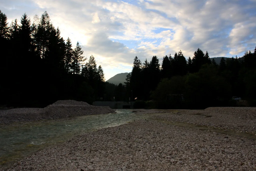
Loop 2 shares the start through Podkoren and Korensko sedlo, then turns right onto a forest track after 1.5 km and follows the Železnica cycle path signs for much of the route. You climb more than 800 meters, some of it on the final few dozen meters up to Blekova planina, where you can leave the bikes at the foot of the pasture and walk out to the ridge.
During the summer season, cattle graze on Jureževa and Blekova planina and roam freely across the forest road, so expect to slow down and give them room. The return is along the same route unless you have a full-suspension bike and the skill for the marked single-track options. This is the loop to choose when you want a serious day out rather than a valley cruise.
The short rides: Planica and Krnica
Loop 4 to Planica is the easiest option at 14.7 km and 148 m of climbing, following the valley toward the Nordic center below the Tamar and Vršič side of the mountains. Loop 5 to Krnica is slightly longer at 15.1 km but climbs 352 m, so it asks a bit more of your legs. Both are sensible choices for a first day or an afternoon after arriving.
Because they start and end in the village, you can finish either one and still have the rest of the day for the valley's other sights. Planica's cross-country terrain is a natural destination for a family ride, while Krnica suits riders who want a short, sharp climb without committing to a full day.
Riding the D-2 through Kranjska Gora and toward Rateče
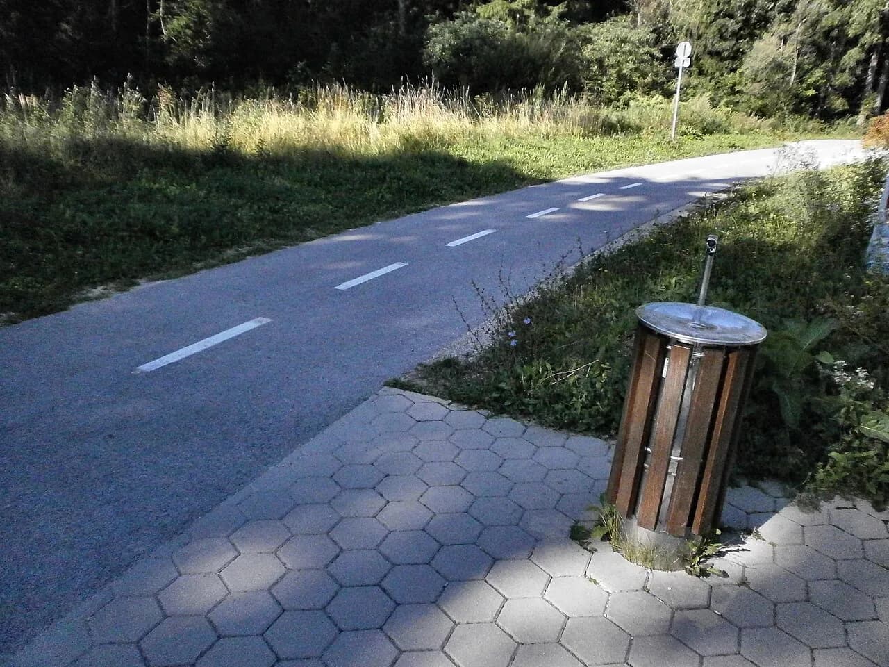
The D-2 national cycle route crosses Slovenia from the Julian Alps toward the Dolenjska hills, and it runs through this part of the Upper Sava Valley. Local riders use it as the return line from Rateče to Kranjska Gora after the Tromeja loop, and it forms a practical spine for anyone linking the Karavanke loops with longer riding. Use the Kranjska Gora map to orient the route and the villages it connects.
If you are building a longer trip, plan your riding day around a single base in the village and keep the D-2 as your north–south line through the Upper Sava Valley. That keeps your logistics simple before you extend to other valleys.
Bike park Kranjska Gora: downhill riding and the Vitranc 2 chairlift
The bike park is a separate product from the cross-country loops. Kranjska Gora's park opened in 2004 under the Elan name, and a new chairlift in 2010 opened faster access to the downhill runs; the park has hosted European Championships, Slovenian Cup races and the IXS European Downhill Cup, which returned in 2025.
The lift serving the park is the Vitranc 2 chairlift, and the park also lists an Easyloop together with Brsnina, Toboggan and Besna Pehta as its other draws. If you have never ridden lift-served downhill, ask at the park about which line to start on before buying a pass.
Bike rental and equipment: what the park rents and how reservations work
The bike park rents downhill and enduro bikes for riders who arrive without their own. Reservations and information go through the park's rental partner, mtb_republic, by email or Instagram, so book ahead if you want a specific bike size on a summer weekend.
The park publishes a seasonal price list as a PDF, so download it or confirm current rates at the ticket desk before you arrive. Ask about protective gear and whether a full-suspension bike is included in the rental before you commit to a downhill day.
Crossing toward Italy and visiting Zelenci on foot
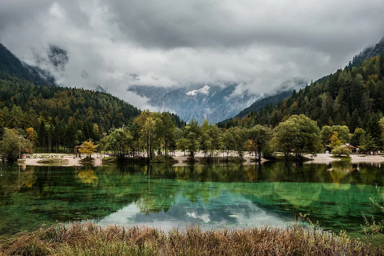
On the return from Rateče through Ledine you will pass signs for the Zelenci Nature Reserve, the ground source of the Sava Dolinka. Bicycle access to Zelenci is not allowed, so lock the bikes at the trailhead and walk in; the reserve is a short detour rather than a riding destination. For more off-bike options in the area, see the Kranjska Gora summer guide.
Riders heading further can continue on the D-2 toward Rateče and the valley beyond it opens onto the old railway corridor. Check your route and border paperwork before you set off, and carry the same gear you would for a full day in the mountains.
How long each ride takes and how to pick one for your day
Match the loop to the hours you have rather than to a name. Loops 4 and 5 are half-day rides in the valley; loop 1 with its 713 m climb and the Tromeja viewpoint fits comfortably into a full morning or afternoon; loop 3 spreads its 395 m over 33.5 km as a longer, steadier day; and loop 2's 856 m is a full day for most riders.
Build in time for the stops: the information boards at the foot of the Korensko sedlo climb, the viewpoint at Tromeja, and the villages of Podkoren and Rateče. A descent through Podkoren and a return along the D-2 makes a natural finish to any of the longer routes.
Which Kranjska Gora ride should you book?
Pick loop 4 or 5 for a relaxed valley ride, loop 1 for the Tromeja viewpoint and the Podkoren and Rateče villages, loop 3 for distance without steep climbing, and loop 2 for the hardest day on the Karavanke slopes. The bike park is a separate decision: choose it if you want lift-served downhill and bike rental rather than marked cross-country loops.
The village itself is compact, so plan your ride around a single base at the Tourist Information Centre and finish with a meal in town. Restaurants in the valley reward an early table after a long climb.
Frequently Asked Questions
Do you need a mountain bike for the Karavanke loops?
The loops climb on forest tracks and paved roads, with steep sections on loop 1 and more than 800 meters of climbing on loop 2. The destination's route descriptions note that the marked single-track descents on Blekova planina suit riders with full-suspension bikes, so a gravel or mountain bike is the sensible choice for the longer loops. Loop 4 to Planica is the shortest and flattest option.
Can you rent a bike in Kranjska Gora without a reservation?
The bike park rents downhill and enduro bikes, and reservations run through its rental partner, mtb_republic, by email or Instagram. Booking ahead is the safer approach in high season, when sizes are limited. Ask at the rental desk about the bike you want before you commit to a downhill day.
Is the bike park open outside summer?
The bike park's web pages do not list season dates or lift hours in text, and the chairlift serves the downhill runs. Check the park's site or call before you travel if your trip falls near the edges of the season. Winter operations follow a separate ski schedule.
Sources
Notes for your Slovenia trip
Optional updates to our Slovenia place guides.
You might also like
Continue reading
More guides you'll find useful