Kranjska Gora Map: Reading the Village, Jasna, Podkoren and Vršič
A Kranjska Gora map guide to the village center, Jasna, Podkoren, Rateče and the Vršič road, plus where to pick up a printed map of the area.
On this page
Use two maps for Kranjska Gora, not one: a village and valley plan for streets, the lake at Jasna and the villages along the upper Sava, and a separate ski trail map if you want the slopes above town. The village itself is small enough to cross on foot, but the destination area runs well beyond it, so a village-only plan leaves out Podkoren, Rateče and Planica. This guide walks through what each map shows, which layers matter for a short stop versus a multi-day base, and where the printed tourist map comes from.
What a Kranjska Gora map covers
A map of the Kranjska Gora area has three layers to keep straight. The first is the village center, a tight cluster of streets, hotels and the base of the ski slopes. The second is the valley floor around it, including the lake at Jasna and the settlements that follow the upper Sava. The third is the terrain above and beyond the valley, which is where the ski trail map takes over.
The official destination publishes a tourist map of the Kranjska Gora destination area, which is the version to buy if you want one sheet covering the wider valley rather than just the streets. Treat the destination area as the useful unit: it is the frame the local tourism office uses, and it is broader than the village name suggests.
Community-generated maps are a different animal. The OpenStreetMap-derived location map for the Municipality of Kranjska Gora is built from volunteered data and its own file page flags that it may be incomplete or contain errors, so use it for orientation rather than for navigating to a specific address.
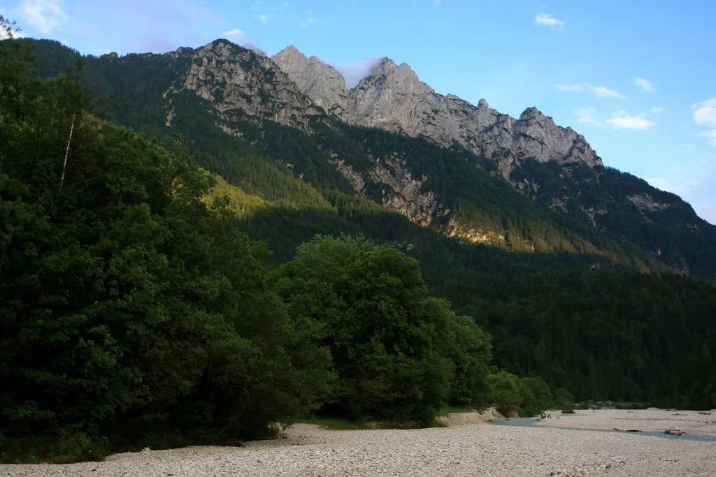
The village center: where the streets and lifts sit
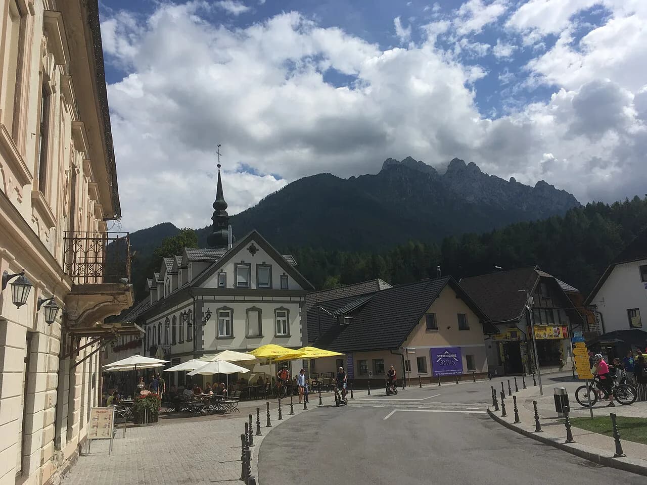
On the ground, the village reads as a single main axis with the ski slopes rising on one side and the valley opening on the other. Print maps place the lodging, the tourism information point and the lift base within a few minutes of each other, which is why a short visit rarely needs a car once you are checked in.
When you unfold a village plan, find the main street first and orient everything else to it: the lake, the road west toward Rateče and the road east toward Podkoren all radiate from that spine. That single habit saves you from treating the village as a grid it is not.
Jasna and the lake area
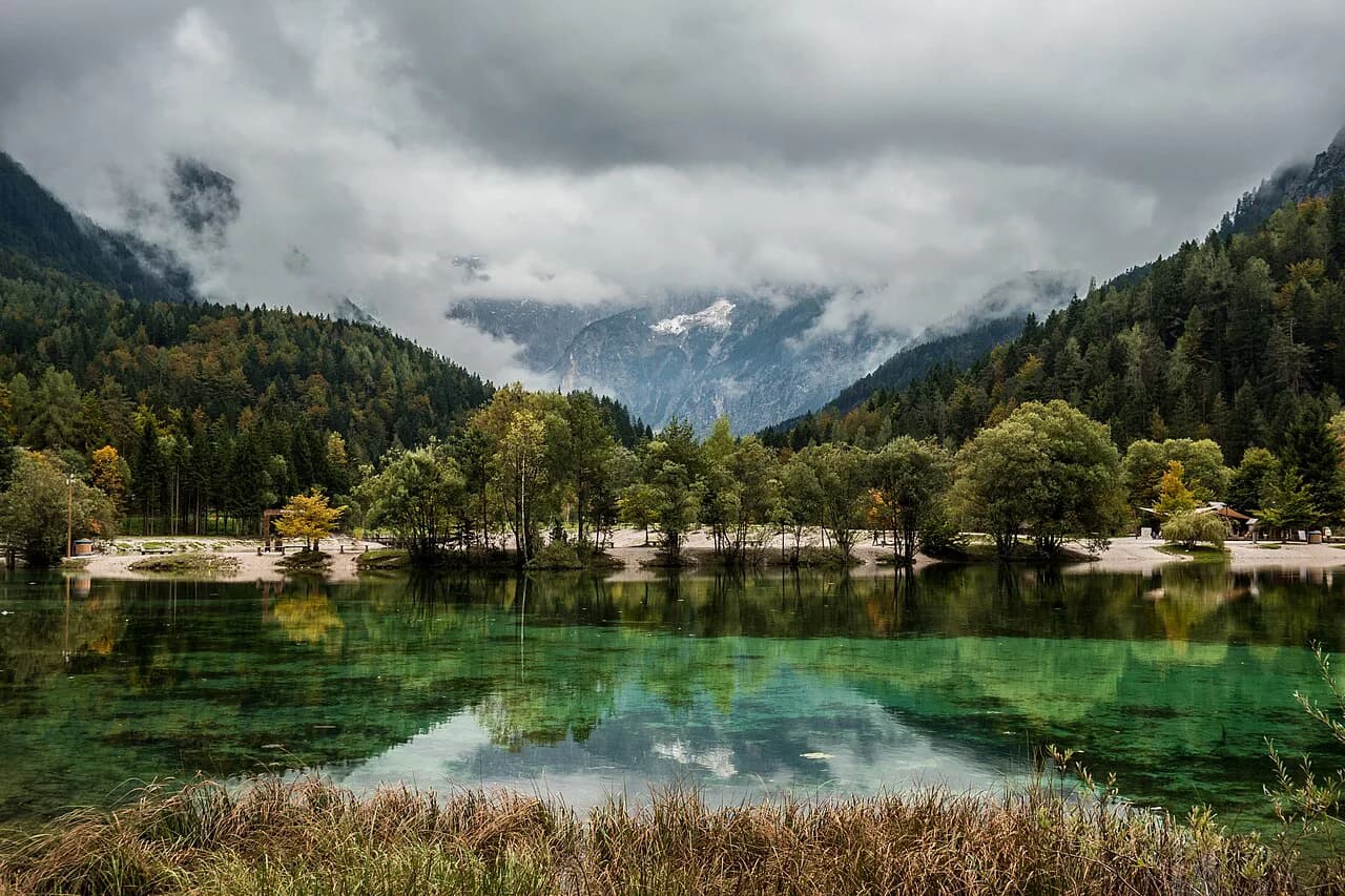
Jasna sits at the edge of the village rather than in the middle of it, so it appears at the margin of most village plans and sometimes falls off a cropped one. Check that your map reaches the lake before you rely on it for a walk from your hotel.
Because Jasna is a short walk from the center, the practical question is not distance but which side of the main road you end up on. A plan that shows the road crossings around the lake is more useful than one that only marks the water.
Podkoren, Rateče and Planica along the valley road
West and east of the village, the valley road strings together Podkoren, Rateče and Planica, and these names show up on any map that covers the destination area properly. They are separate places with their own turning points, not suburbs you can wave at from the main street.
If your plan stops at the village boundary, you will not see how the western villages connect to the road toward the pass. That gap is the main reason to choose the destination-area sheet over a free village handout.
The Vršič road on local maps
The Vršič road leaves the valley near the western end of the destination area and is the reason local maps stretch beyond the village at all. On a good plan you can see where the road peels away from the valley floor and which settlements sit below it.
Maps show the line of the road, not its condition. For anything about driving over it, check the destination's own information channels rather than reading a paper plan as a status report.
Reading the ski trail map separately
A ski trail map answers a different question from a village plan: it shows pistes and the terrain they cross, not streets, hotels or where to park. Downloadable Kranjska Gora ski trail maps are available in JPG and PDF formats if you want the slope layout on your phone.
Keep the two documents apart in your head. The trail map is for judging how the slopes relate to each other; the village plan is for finding your way back to the main street afterward.
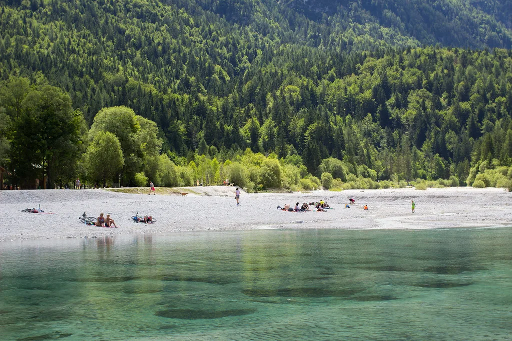
Where to get a printed map and what it costs
The official destination online store sells the tourist map of the Kranjska Gora destination area at 6.50 EUR, with variant options to choose at checkout. That price is the one listed in the store and applies to that product, not to every map you might find in the valley.
Ordering ahead makes sense if you want the sheet in hand on arrival; otherwise the same store listing tells you what you are buying before you commit. Pick the variant that matches the area you plan to cover.
Which map to carry for a short visit versus a longer stay
For a one- or two-night stop, a village plan plus a downloaded trail map covers nearly everything: you will walk the center, reach Jasna and probably not drive far. Skip the printed sheet and save the shelf space.
For a multi-day base in the valley, the destination-area map earns its place, because you will be moving between the village, the lake and the outlying settlements and want one sheet that shows how they connect.
If you plan to ride the valley roads rather than drive them, pair the area map with route notes: the map shows where things are, not which way to loop.
Photographers get a third kind of map: spot-marked plans that plot exact camera positions rather than streets, such as the eleven marked photography spots plotted on one Kranjska Gora map. They are useful for planning a shot and useless for finding dinner, so plot your meals on a separate sheet and compare it with our guide to Kranjska Gora Restaurants alongside the map.
Which map belongs in your bag?
Carry the destination-area sheet if your stay runs several days and you intend to move between the village, Jasna, Podkoren and Rateče. For a brief stop, a village plan and a downloaded trail map are enough. Either way, bookmark our Kranjska Gora guide for the addresses those maps point to.
Whichever you choose, buy or download it before you arrive so the first hour in town is spent walking rather than hunting for a map.
Explore more Kranjska Gora guides
Frequently Asked Questions
Does a Kranjska Gora village map cover Lake Jasna and Podkoren?
Not always. Jasna sits at the edge of the village and can fall off a cropped plan, and Podkoren, Rateče and Planica lie outside the built-up center altogether. A sheet badged as the Kranjska Gora destination area is the one drawn to include the wider valley.
Can I use a phone map instead of a printed one?
For streets and orientation, yes. Community-built maps such as the OpenStreetMap-derived municipality map are flagged as possibly incomplete, so for a specific address or a printed overview of the whole destination area the official sheet is the more dependable choice.
Do I need the ski trail map if I am visiting outside winter?
The trail map only shows pistes and the terrain they cross, so it adds little to a valley stay focused on the village, Jasna and the outlying settlements. Pick it up only if you want the slope layout in front of you.
Sources
Notes for your Slovenia trip
Optional updates to our Slovenia place guides.
You might also like
Continue reading
More guides you'll find useful