Lake Cerknica: How to Visit Slovenia's Disappearing Lake
Lake Cerknica fills and empties across a 26-square-kilometer karst field. Here is how to reach it, where to start, and what you actually see.
On this page
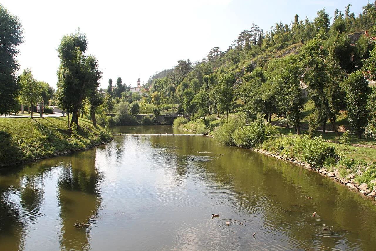
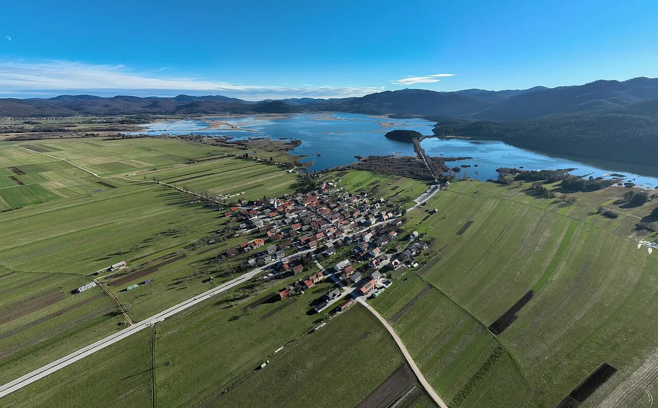
Lake Cerknica is a disappearing lake on the Cerknica Polje, a flat karst field south of Postojna that floods and then drains again. It fills most often in late autumn or winter and is often dry in summer, so a July visit may mean walking a field rather than standing on a shore. This guide covers what the lake is, where to start in Dolenje Jezero, how to drive and walk the lakebed, and which nearby karst sights fit the same day.
Treat the trip as a landscape visit, not a beach stop. The Cerknica Polje is farmland and wet meadow that cattle graze and farmers plow when the water is gone, and the experience changes completely depending on how much water sits in the field that week.
What Lake Cerknica is and how big it gets
Lake Cerknica is the largest intermittent lake in Europe, a karst basin that holds water for part of the year and lies dry for the rest. When it is full it spreads across roughly 26 square kilometers of the Cerknica Polje, which makes it the biggest lake surface in Slovenia while the water lasts.
The water comes and goes through sinkholes and springs in the limestone rather than through a single visible inlet or outlet. That is why the same spot can be a fishing ground, a hay meadow and a plowed field within one year, and why the shoreline you see on a map may not match what you find.
The Notranjska Regional Park manages the area and its nature-conservation projects, and the park publishes water-level information alongside its visitor material. Use that to judge conditions before you set out, since a dry field and a full lake call for different shoes, different routes and different expectations.
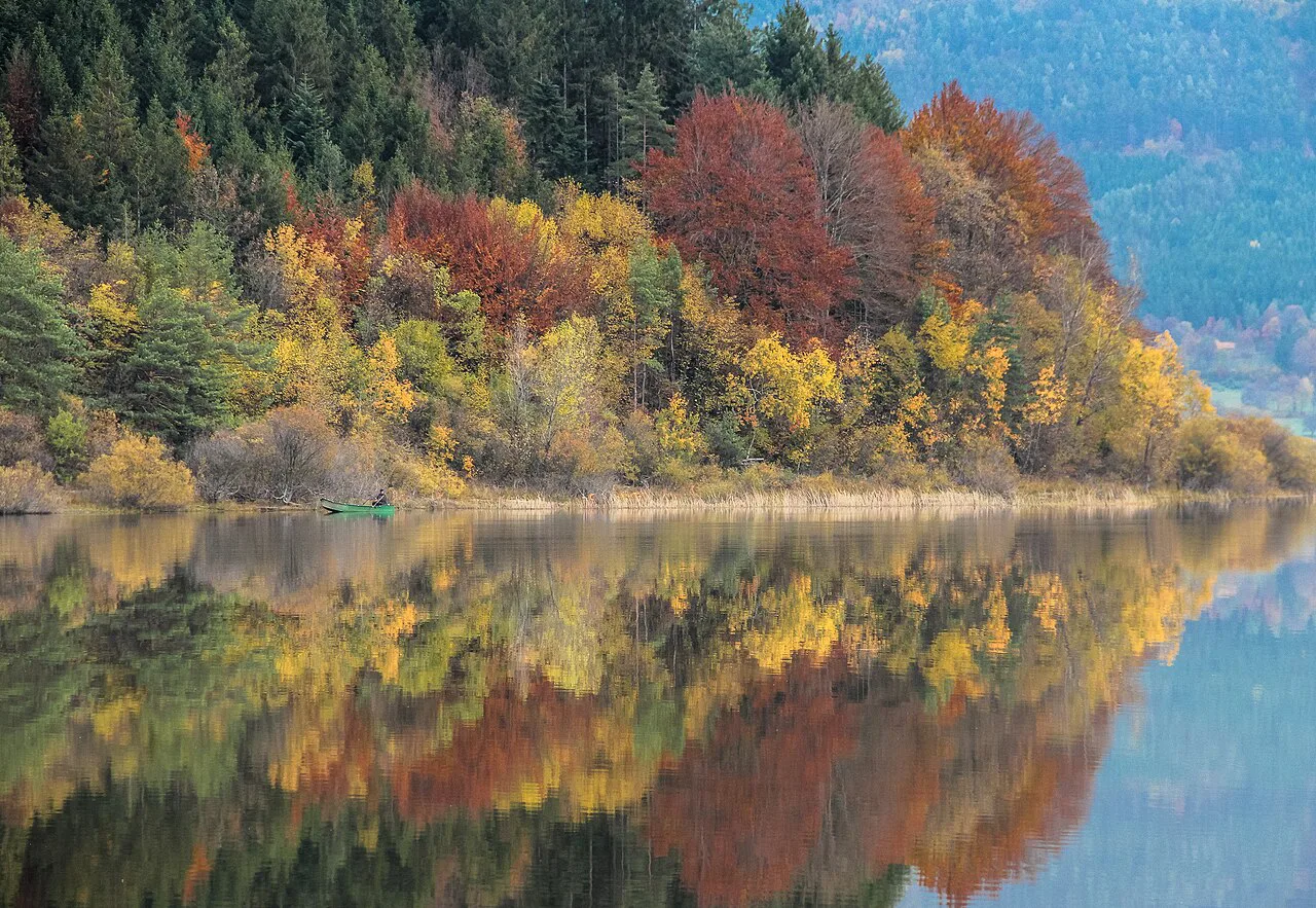
When the water is there and when it is not
The lake most often fills in late autumn or winter, when rain and snowmelt push water up through the springs and sinkholes faster than it can drain away. In summer the field is typically dry, with the water gone underground and the basin given over to grass and crops.
Because the cycle shifts from year to year, no calendar date guarantees water or guarantees a dry field. Decide which version you want to see, then plan a flexible day and confirm conditions close to your visit through the park rather than relying on a photo from another season.
A dry visit is not a wasted one. The drained basin shows the sinkholes, the farm tracks and the villages that sit around the field, and it is the only way to read how the karst drainage actually works.
Where to start: Dolenje Jezero and the museum
Begin in Dolenje Jezero, the village on the lake edge where the Museum of Lake Cerknica, also called Jezerski hram, explains the water system on a working scale model. The exhibits cover how the lake fills and empties and how people lived around it, which makes the field easier to read once you walk out into it.
The museum sits next to the lake and serves coffee and desserts, so it works as a short stop before or after the field. It is the single most useful first move for anyone who has not seen a disappearing lake before.
Ask the museum or the park directly about admission and opening times before you build a day around a visit. Treat it as a planned stop rather than something you assume will be open when you arrive.
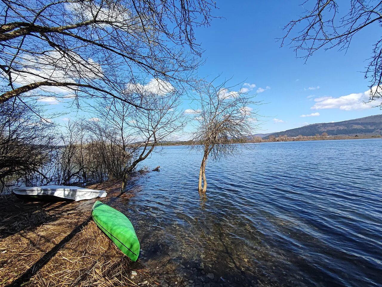
Getting there by car
From the Ljubljana–Koper motorway, leave at the Unec exit, drive through Rakek and continue to Cerknica. In the center of Cerknica, follow the signs for Dolenje Jezero, which turn you right and lead through the village to a large parking lot at its end.
Road signs around Cerknica are mostly in Slovenian, so the word to recognize is jezero, meaning lake, though a small English line now points toward the lake at the main junction in town. The parking lot at the end of Dolenje Jezero is the natural base for both the museum and the walk toward the sinkholes.
Driving yourself gives you the most freedom here, because the villages around the field are spread out and the roads through the basin connect points that are too far apart to walk between comfortably. Fuel up and buy supplies before leaving Cerknica, since services thin out around the lake.
Driving the lakebed roads
A paved road with little traffic runs from Laze pri Gorenjem Jezeru to the eastern shore of Cerkniško jezero and on to the village of Zerovnica, crossing the field itself. It is the simplest way to see the basin from a car and to link the villages on either side.
A separate crossing road in the southern part of the lake keeps access to the far shore even when the water rises, but its passability varies in winter and spring. Check conditions before committing to it, and do not drive into standing water on the Assumption that the road continues underneath.
Keep the paved lakeside road, the water-level crossing road and the dirt tracks toward the sinkholes distinct in your planning. Each serves a different purpose, and mixing them up is the usual reason drivers end up on a rough track in a low car.
What to look for in the dry months
When the water is gone, walk from the Dolenje Jezero parking lot in the direction of the lake and take the first dirt road on the right. It soon leads into a pitted, lunar-looking stretch of ground where the water vanishes underground, which is the clearest evidence of the karst system at work.
In the southern part of the lake an island rises out of the field, and the town of Cerknica sits on the surrounding higher ground rather than in the wet basin. It is a useful landmark for understanding the shape of the field and how settlement stayed off the wettest ground.
Wear shoes you do not mind getting muddy and stay on tracks rather than cutting across wet meadow. The ground around the sinkholes is uneven and soft, and the field is working farmland for much of the year.
The Drvošec trail and the watchtower
The Drvošec educational trail runs out from Rešeto and includes a watchtower, giving you a raised view over the wetland and the surrounding field. It is the most structured way to walk part of the lake area with interpretation along the way.
Pair the trail with the museum rather than choosing one: the exhibits explain the mechanism, and the trail shows you the ground it operates in. Allow a half day for both at an unhurried pace, and check the park's trail notices before setting off.
Villages around the water
Laze pri Gorenjem Jezeru and Zerovnica sit at either end of the paved road that crosses the field, and Gorenje Jezero is another village on the lake edge, which makes them convenient markers when you plan a loop. The town of Cerknica, just outside the basin, is the other fixed point to navigate by.
These are small working settlements rather than attractions, so plan your time around the landscape and use the villages for orientation, a short stop and a look at how the houses sit above the flood line.
Cycling the lake and the hay carriage ride
Cycling is the best way to get around the whole basin, because the lake covers about 26 square kilometers and the roads linking the villages are long. The circuit suits a half day or more, depending on how often you stop.
A lojtrnik, the traditional two-horse hay carriage, offers a slow ride through Notranjska Regional Park and past the lake, which is a different experience from covering the ground by bike. Book it as its own outing rather than as transport between sights.
For families with young children, the shorter option is to base yourself at Dolenje Jezero and explore the sinkholes and the museum on foot rather than committing to a full circuit.
The Notranjska Regional Park visitor center
The visitor center at Lake Cerknica is the place to ask about current water levels, trails and guided options, and the park also answers questions by phone and email. It is closed on Mondays, so build your plan around that if you want a staffed stop.
The park also runs educational programs and publishes material on the lake's natural and cultural heritage, which is useful if you want context beyond what you can see from the road.
Practical notes for the day
Build the day around what you want to see: water on the field calls for the crossing road and a viewpoint, a dry field calls for the sinkholes and the trails. Either way, start at Dolenje Jezero so the museum and the parking are settled before you head out.
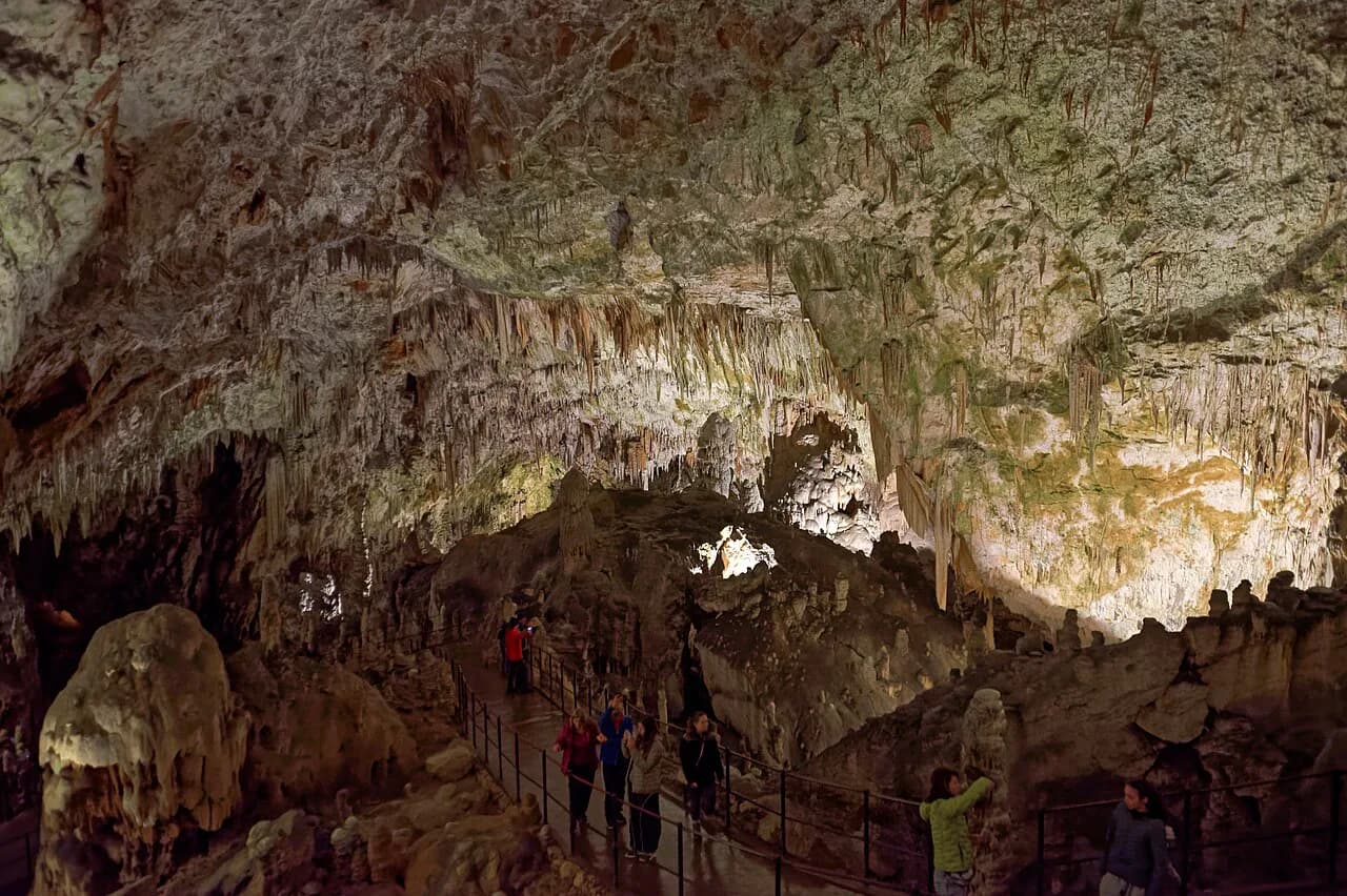
The basin sits in the same limestone belt that holds the region's show caves, so it pairs naturally with a day at Postojna Cave, where the guided route follows the Pivka River underground. Book cave entries separately from this trip and keep the two on different days if you want time for both.
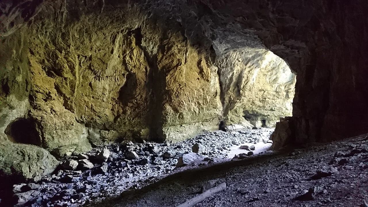
If a second underground stop appeals, Križna jama is the other cave name worth knowing in this karst country, and the Postojna Attractions: 4 Visitor Guides hub sets out the choices. Compare Postojna Cave Tickets with a Predjama Castle tour and pick the combination that fits your hours.
Is Lake Cerknica worth a day of your trip?
Yes, if you want to see how a karst landscape behaves rather than sit by water. Go in on the Dolenje Jezero side, use the museum to make sense of the field, and choose your route from what the basin is doing that week.
Skip it if you are after a lake you can swim in, and put your day toward the coast or a cave instead. Cerknica rewards curiosity about the ground under your feet more than it rewards a quick photo stop.
Explore more Postojna guides
Frequently Asked Questions
Can you swim in Lake Cerknica?
Swimming is not the point of a visit here. The basin holds water for part of the year and lies dry for the rest, so there is often no body of water to swim in at all. Plan around the landscape and the villages instead.
Is fishing allowed at Lake Cerknica?
Fishing is listed among the activities in the lake area, but rules and permits are managed locally. Ask at the Notranjska Regional Park visitor center before you plan a fishing day.
Where can you camp near Lake Cerknica?
Camping at the lake is not covered here. The park's visitor center and the tourist information point in Cerknica can point you to registered options nearby, so ask there rather than pitching on the field.
Sources
Notes for your Slovenia trip
Optional updates to our Slovenia place guides.
You might also like
Continue reading
More guides you'll find useful