
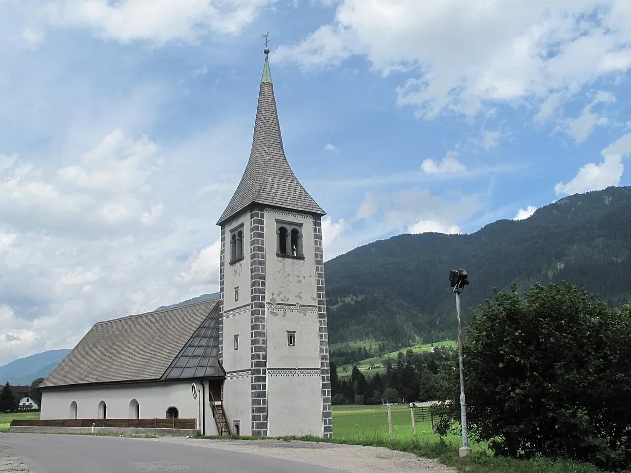
Mojstrana: The Alpine Village Below Triglav's North Wall

Mojstrana is the village you use to get into the Vrata valley, not a second Kranjska Gora. It sits in the Zgornjesavska dolina (Upper Sava Valley), a short drive or bike ride from Kranjska Gora, and the road to the Vrata valley and Peričnik waterfall leaves from here. This guide covers the village layout, the museum area, the short Grančišče walk, cycling between Mojstrana and Kranjska Gora, and how the Vrata road behaves in high summer.
Choose Mojstrana if you want a quieter base close to the Triglav north wall and the Slovenian Alpine Museum. Choose Kranjska Gora instead if you want more services on your doorstep, or Gozd Martuljek if you would rather stay on the Sava Dolinka side of the valley.
What Mojstrana is and where it sits in the Upper Sava Valley
Mojstrana lies in the Zgornjesavska dolina, below the Karavanke on one side and the Julian Alps on the other. The official destination source describes the upper valley as holding three almost parallel valleys leading from Mojstrana toward Triglav: Vrata, Kot, and Krma. That geography is the reason to stay here rather than in Kranjska Gora itself: the trailheads and the Vrata road are at the village edge.
The village sits about 14 km by road from Kranjska Gora, which makes it a short hop for dinner or supplies.
For the wider picture of how Mojstrana fits with the rest of the area, the Kranjska Gora Neighborhoods: 4 Area Guides page puts the villages, the lakes, and the pass in one place, so you can compare bases before booking.
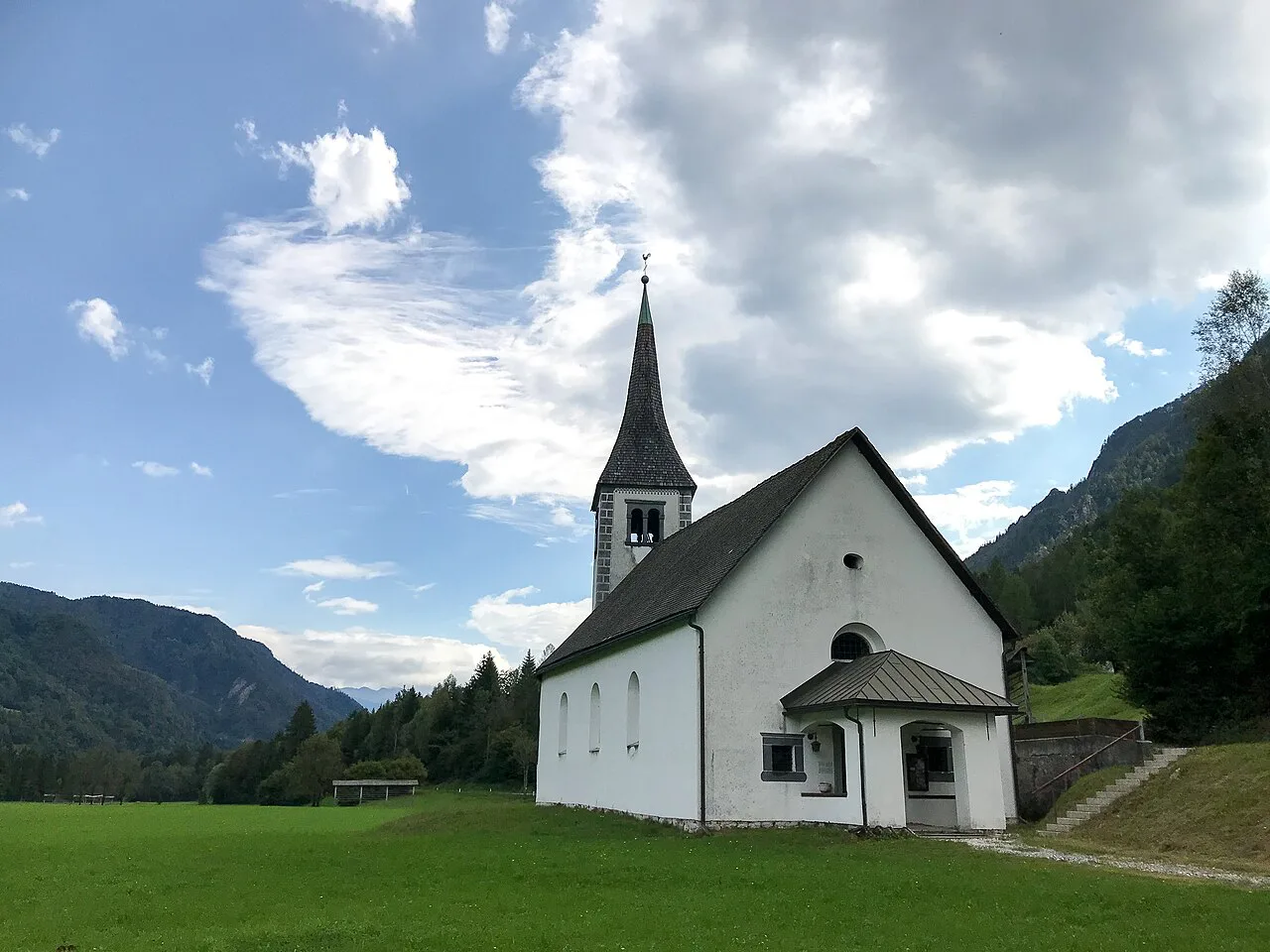

How the village is laid out: the main road, the Vrata turnoff, and the museum area
Mojstrana is small enough to walk across, but the layout matters when you are planning a day. The main road through the village is the spine, with the Slovenian Alpine Museum as the practical orientation point; the Grančišče walk starts from the parking area by the museum. From there, the road toward the Vrata valley and Peričnik waterfall heads off into the hills.
The Vrata turnoff is where the village stops being a village. Signs for the Vrata valley and Peričnik waterfall point you right, off the through road, and the climb begins almost immediately. If you are staying in Mojstrana, this is the road you will drive or ride most mornings.
Expect a compact, workaday alpine village rather than a resort strip. There is a bike rental in Kranjska Gora for ordinary and e-bikes, which is worth knowing if you plan to ride the valley road rather than drive it.
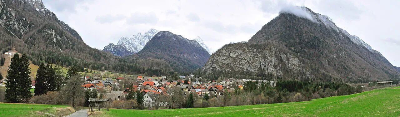

Who Mojstrana suits and who should base elsewhere
Mojstrana suits travelers whose priority is the Vrata valley, the Peričnik waterfall, and the alpine museum, and who do not mind a short drive for restaurants and shops. It also suits cyclists who want to ride the valley road from a village base without navigating Kranjska Gora's traffic first thing in the morning.
It suits travelers less well if you want to walk out of your accommodation into a choice of cafés and shops. Kranjska Gora has the denser services, and Podkoren Kranjska Gora puts you on the western side of the valley near the pass road. If your plan centers on Lake Jasna or the Vršič Pass, base closer to Kranjska Gora and treat Mojstrana as a day out.
If you are driving the whole Upper Sava Valley, Rateče, Slovenia sits at the far western end near the Italian and Austrian borders, and works better as a base for that corner than Mojstrana does.
The Slovenian Alpine Museum in Mojstrana
The Slovenian Alpine Museum in Mojstrana is the village's indoor anchor and the reason to spend a wet or half day here rather than passing straight through. The official destination source describes it as the place to learn about mountaineering history and the climbing of the Triglav north wall, the wall that the Vrata valley leads toward.
Treat the museum as a stop built into a Vrata day rather than a separate excursion. It sits by the parking area where the Grančišče path begins, so you can combine a visit with the short forest walk without moving the car.
Opening hours and ticket prices change by season, so confirm them with the museum or the Kranjska Gora tourist office before you build a day around it.
The Vrata valley road and Peričnik waterfall from Mojstrana
The Vrata valley is the main reason travelers come to Mojstrana. The official destination source describes the road running from the village toward the valley, with the Peričnik waterfall on the right after a few kilometers; the water drops more than 50 meters, and you leave the bike or car for a few steps to see it.
Past the waterfall the road climbs steeply for a short stretch, then settles into a moderate grade up to Aljažev dom, the mountain hut that serves as the trailhead for the surrounding peaks. Cycling ends there: beyond the hut, only a footpath continues toward the base of Triglav and the view of the north wall.
The valley road carries cars as well as bikes, and the official source warns that weekend traffic in the valley can increase because the road allows car access. Ride or drive defensively, and start early if you want the waterfall without a queue of cars behind you.
Grančišče: the short forest walk from the museum
The Grančišče walk is the low-effort option in Mojstrana, and it is easy to fit into a travel day. The official route starts at the parking area by the Slovenian Alpine Museum, follows the road toward the Vrata valley and Peričnik waterfall, and turns right onto a forest path where the road steepens opposite the apartment blocks.
The path is listed at 1,300 m total, rated moderately demanding, with a recommendation for proper walking shoes and reasonable fitness. The reward at the top is a view over the Karavanke and the lower Zgornjesavska dolina, which makes it a good short outing for a travel day that also includes the museum.
Because the route begins at the museum parking area, it pairs naturally with an indoor stop if the weather turns. Keep to the right-hand turns described by the destination source, since the path threads through forest without much signage at the junctions.
Cycling between Mojstrana and Kranjska Gora
The ride from Kranjska Gora to Mojstrana follows a cycling route that connects the two towns, and it is the easiest way to link the two bases without a car. The official Vrata route description gives a total length of 23,600 m for the full ride from Kranjska Gora, through Mojstrana, and up the valley to Aljažev dom.
Community route logs on Bikemap list dozens of rides in and around Mojstrana, including a Mojstrana–Kranjska Gora day trip, and note that most local riding happens in July and August. Plan the ride as an out-and-back from whichever village you are staying in, and remember that the last stretch to Aljažev dom is on the same road as the cars.
If you want to loop rather than retrace, outdoor-mojstrana.com lists longer cycling itineraries around the village that link Kranjska Gora, Radovna, and Lake Bled in a single day. Those are bigger commitments than the valley road, so match the route to your fitness and daylight.
Getting there: road distance from Kranjska Gora and the cycling route to Jesenice
By road, Mojstrana is about 14 km from Kranjska Gora. If you do not have a car, the cycling route between the two towns is the practical alternative.
Mojstrana also sits on the cycling route toward Jesenice, so a bike can link the village with the wider valley without a car. The official source describes riding to Mojstrana on the route connecting Kranjska Gora and Jesenice before turning into the Vrata valley.
If you are continuing east or south after Mojstrana, look at how Gozd Martuljek and Srednji Vrh sit along the Sava Dolinka, since those villages come up on the drive back toward Kranjska Gora.
What to expect on busy summer weekends in the Vrata valley
The official destination source flags the Vrata road as heavily used in the peak mountaineering season, specifically July and August. It warns that caution is warranted because the road carries car traffic in addition to bikes and walkers.
In practice, that means weekend mornings fill up first at the Peričnik waterfall pull-off and along the climb to Aljažev dom. If you want a quieter ride, start early or choose a weekday, and expect to share the road with vehicles on the descents.
The source recommends sports clothing and a cycling helmet as required equipment on the valley route, and notes that the road climbs steeply for a short section just past the waterfall. Plan your turnaround at Aljažev dom, where cycling ends and only the footpath continues.
Should you base in Mojstrana or just visit for the day?
Base in Mojstrana if the Vrata valley, Peričnik waterfall, and the Slovenian Alpine Museum are your priorities, and if you are happy to drive a short distance for restaurants and shops. Treat the village as a quieter, more focused base than Kranjska Gora, not as a replacement for it.
Visit for the day instead if you want cafés, a lake, and a denser choice of accommodation within walking distance; in that case Kranjska Gora or Podkoren Kranjska Gora makes more sense as a base, and Mojstrana becomes a half-day outing. Whichever you choose, build the day around the valley road and the museum rather than expecting the village itself to fill your time.
Frequently Asked Questions
Can you reach Mojstrana without a car?
Yes, by bike: the official route connects Kranjska Gora and Jesenice through Mojstrana, and the valley road continues from the village toward the Vrata valley. The road distance from Kranjska Gora is about 14 km, which is a manageable ride for a fit cyclist.
Do you need a ticket to see Peričnik waterfall?
The waterfall sits along the Vrata valley road, and you leave your bike or car for a few steps to reach the view. Check with the Kranjska Gora tourist office for any current access or parking arrangements before you go.
Is the Grančišče walk suitable for children?
The destination source rates it moderately demanding over 1,300 m and recommends proper walking shoes and reasonable fitness. It starts at the museum parking area, so it is easy to shorten or skip if the group tires.