Triglav National Park Map: How to Read the Park and Plan Your Route
A Triglav National Park map is easier to use once you know where the valleys, lakes, and bases sit. Here is how the park's pieces fit together for planning.
On this page
A Triglav National Park map is most useful once you stop treating the park as a single dot and start reading it as a ring of valleys, lakes, and access roads around one central massif. The park covers 88,000 hectares of the Julian Alps, which is far more ground than any one day or one trailhead can absorb. For the practical details, see the Triglav National Park.
This guide explains what the park boundary actually encloses, which places to find on the map before you pick a route, and how the main bases relate to each other by road. It also flags where small-scale maps mislead and which official pages to trust for current conditions. For the park itself, see our Triglav National Park overview.
What a Triglav National Park map covers, and what it leaves outside
Triglav National Park is the only national park in Slovenia, named after the country's highest peak, and it sits inside the wider Julian Alps region.
That distinction matters on a map because many regional maps color the whole Julian Alps as if it were parkland, when the protected area is a smaller polygon within it. Trace the boundary line before you plan, not after, so you know which valley you are actually driving into.
The park authority publishes an interactive map and a visitor guide that show the boundary and the park's own infrastructure. Use those layers to check whether a viewpoint, village, or road you spotted on a third-party map falls inside the protected area or just next to it.
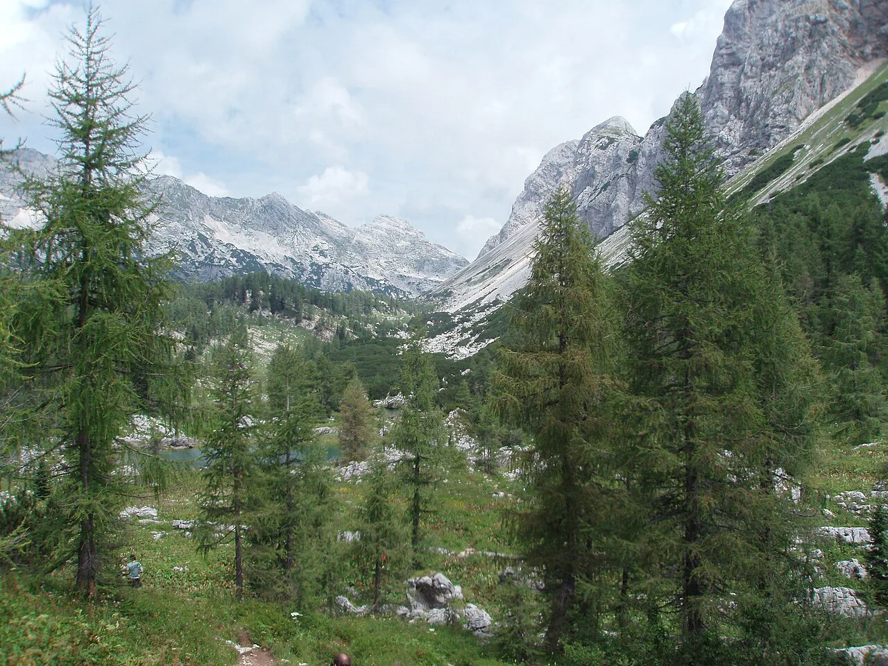
The anchor points to find first: Triglav, Bohinj, Boka Falls, and the Soča
Four features give the park its shape on a map. Mount Triglav rises to 2,864 meters at the center, Lake Bohinj is the country's largest permanent lake on the park's southern side, Boka Falls drops steeply above the Soča valley, and the Soča River runs through the western valleys. For the practical details, see the Triglav.
Pin those four on your map and the rest of the park starts to make sense: the massif in the middle, water on the south, and the river corridor on the west. Every route decision you make afterward is really a choice about which of these anchors you want to approach.
The Kanin Mountains, peaking at 2,587 meters, sit above Bovec on the western edge and mark how far the high ground extends beyond the obvious central cluster. On a small-scale map they blur into the massif; on a larger one they explain why the Soča side feels like a separate trip.
Bases to locate before you choose a route
Bovec sits in the heart of the park between the Soča River valley and the Kanin Mountains, which makes it the natural western base on any map you draw. Kranjska Gora lies on the Sava Dolinka River near the Krnica valley on the northern side, giving you a second anchor for the Gorenjska approach.
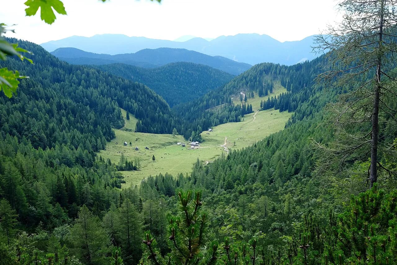
Lake Bohinj anchors the south, with Slap Savica and the cable car up Mount Vogel marked nearby on most maps of the area. The Pokljuka Plateau sits between Bled and Bohinj inside the park, a karst shelf of forest, shepherds' huts, and stilted hay barns that is easy to overlook when you are focused on the lakes. For the practical details, see the Pokljuka.
Mark these four bases — Bovec, Kranjska Gora, Bohinj, and Pokljuka — before anything else, because they determine where a day starts and ends. A route that looks short between two dots often means crossing a pass or driving around the massif, which changes the shape of your day.
Where Lake Bled sits relative to the park
Lake Bled sits in the wider Julian Alps region that most regional maps group with the park, and it is a long-standing, busy base that fills with hikers and mountain bikers in summer. Its position just northeast of the park makes it a convenient starting point for park country rather than a quiet park destination.
On a map, Bled and Bohinj look close, and they are, but the two lakes feel entirely different in use. Bled supplies the services and crowds; Bohinj is the quieter water on the park's southern side and the better southern access point for a day in the park.
If you plan a loop, sketch Bled as one corner, Bohinj as the second, and the Soča valley as the third, then check how the connecting roads actually run. That triangle is the basic geometry of most multi-day trips in this part of the Julian Alps.
Roads and passes to trace, starting with the Vršič Pass
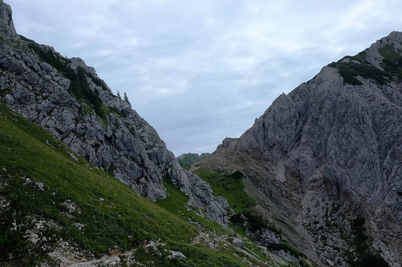
The Vršič Pass is the high link that shapes any loop between the Soča side and the Gorenjska side, and it should be the first road you trace on the map. It sits high in the Julian Alps on the approach toward the Trenta and Soča valleys, so a route that needs it means committing to the pass rather than a lowland detour.
Mountain passes in this region are seasonal, and the park authority's current-conditions page is where you confirm whether a road is open before you commit a day to it. Do not rely on a map layer or an old blog post for pass status, because closures change with weather.
Trace the other main approach roads too: the road up the Soča from Nova Gorica through Kobarid and Bovec, and the roads from Kranjska Gora toward the Trenta. Knowing which side of the massif each road enters from tells you whether a day trip is a loop or an out-and-back.
The Trenta valley and the upper Soča on the map
The Soča River begins in the Trenta valley and runs through the Julian Alps with rapids that draw rafters, and on a map the valley reads as a long green corridor rather than a single point. The road follows the river for much of its length, which is why the valley works as a driving route and not just a stop. See our Triglav National Park info centres guide for the park's information points.
Boka Falls sits above the upper Soča, and its position on the map tells you how far up the valley the road climbs before the character of the drive changes. Measure the valley's length on your map before you plan a day, because it is longer than it looks at a glance.
The park's information points along this corridor are where you stop for maps, guidance, and local conditions. Plan at least one stop in the valley rather than treating it as a road to drive straight through.
Where to pick up official park information
The park authority's site is the source to trust over third-party map layers. Its interactive map and visitor guide show the protected area, the main features, and the park's own facilities, while its current-conditions page carries the day-to-day information that any printed map cannot.
The park also publishes guidance on visiting responsibly, including using public transport where it exists and staying on marked paths. That page is worth reading before you finalize a route, because it explains the rules that apply across the park rather than at one site.
Download or bookmark these pages before you travel, since signal in the valleys can be patchy and a saved copy beats a search bar at a trailhead. Cross-check any route you find elsewhere against the park's own map before you drive it.
Map-reading mistakes that wreck alpine plans
The most common error is underestimating valley distances. The Soča corridor and the Trenta valley are long, and a route that looks compact on a phone screen can consume most of a day once you account for bends, speed limits, and stops.
The second mistake is treating the park as a single trailhead. It has many access points, and choosing the right one for your day matters more than choosing the shortest line on the map. Start from the base nearest the feature you want, not from whichever dot looks central.
The third is ignoring elevation. A point that is a short horizontal distance from another can sit hundreds of meters higher, and mountain roads and paths reflect that difference in time. Read contour lines and pass marks alongside road distance when you estimate a day.
Converting map distances into driving and walking time
On mountain roads, assume driving times longer than the raw distance suggests, especially across the Vršič Pass and along the Soča. Build slack into any day that crosses a pass, because the road is the trip, not just the connection.
For walking, use the park's own guidance and marked paths rather than drawing your own line between two points. A map cannot tell you whether a slope is walkable, whether a path is maintained, or how long a climb will take you personally.
Where a map fails you is in the details that matter most: pass status, parking capacity, and current conditions. Check the park's current-conditions page the morning you set out, and keep your plan flexible enough to swap a valley if a road is closed.
Which side of the park should your map start on?
Start your map on the side that matches your base. If you are coming from Bled or Kranjska Gora, trace the northern and eastern approaches first; if you are coming from the coast, trace the Soča corridor and the Trenta valley.
Then check the park authority's interactive map and current-conditions page before you commit, and let the boundary line and the pass status shape the route rather than the other way around.
Explore more Triglav National Park guides
Frequently Asked Questions
Is Lake Bled inside Triglav National Park?
Lake Bled sits in the wider Julian Alps region that most regional maps group with the park, and the Responsible Travel guide lists hiking and cycling around the lakes of Bled and Bohinj within the park. For the exact boundary, use the park authority's interactive map rather than a regional map.
Do I need a paper map for Triglav National Park?
A paper map is useful backup because signal in the valleys can be unreliable. The park authority publishes an interactive map and a visitor guide that you can use to check the boundary and facilities before you travel.
What is the best base for exploring the park by car?
Bovec, Kranjska Gora, and Lake Bohinj are the three natural bases, each sitting on a different side of the massif. Which one suits you depends on whether your route crosses the Vršič Pass or follows the Soča valley.
Sources
Notes for your Slovenia trip
Optional updates to our Slovenia place guides.
You might also like
Continue reading
More guides you'll find useful